14 Free Topography transparent PNG images
Explore over 14 free PNG images under the 'Topography' tag, available for high-resolution download on PNG Maker. These images range in creativity and design, offering users a variety of visually captivating options. Each image is free to edit using the 'open in editor' feature, allowing users to easily customize their designs. The 'Topography' PNG images can be applied in various scenarios such as educational projects, scientific presentations, digital art, or even website backgrounds, making them an essential resource for designers, educators, and hobbyists alike.
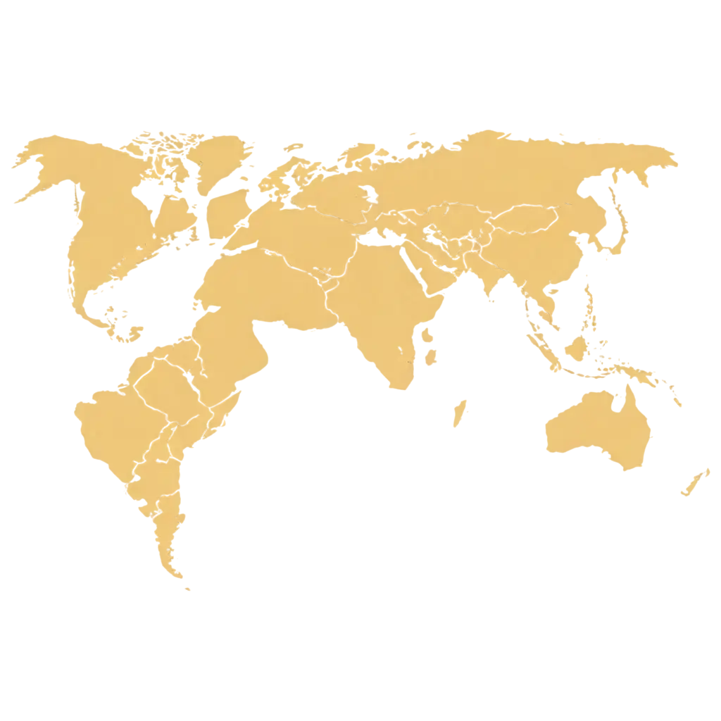
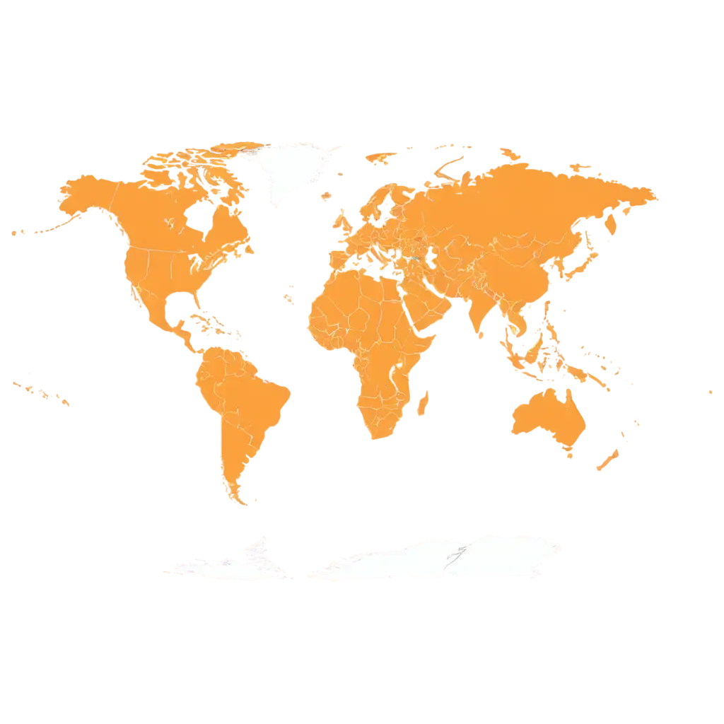

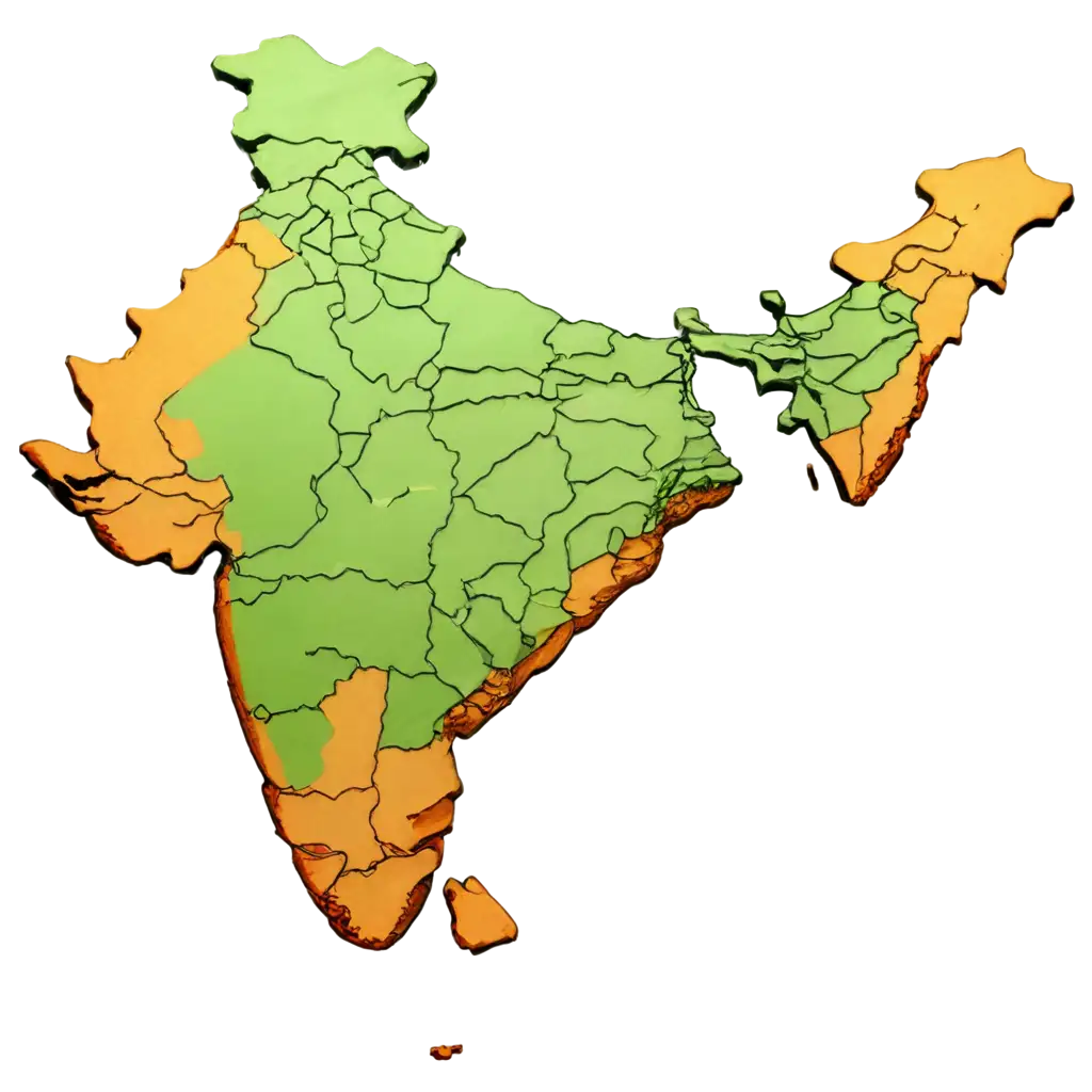

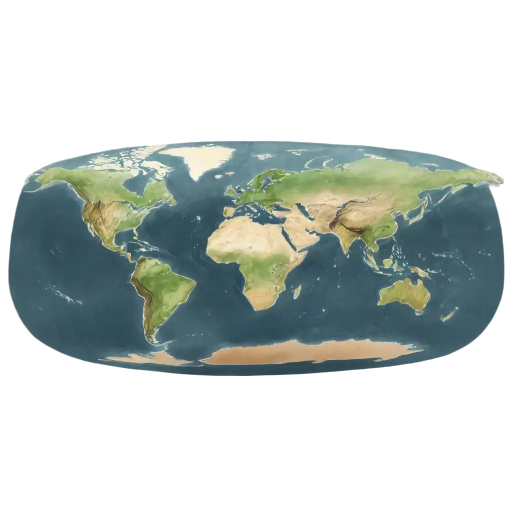
Topography, the study of the Earth's surface features, is often visually represented in maps, charts, and other graphical elements. With the use of transparent PNG images from PNG Maker, users can create artistic representations of terrains, landscapes, and geographical features. These topography PNGs are ideal for anyone working in GIS, education, or cartography, allowing the seamless integration of realistic surface textures into presentations or projects. The transparent format ensures flexibility when overlaying these images on various backgrounds.
Topography PNG Images: A Blend of Art and Science
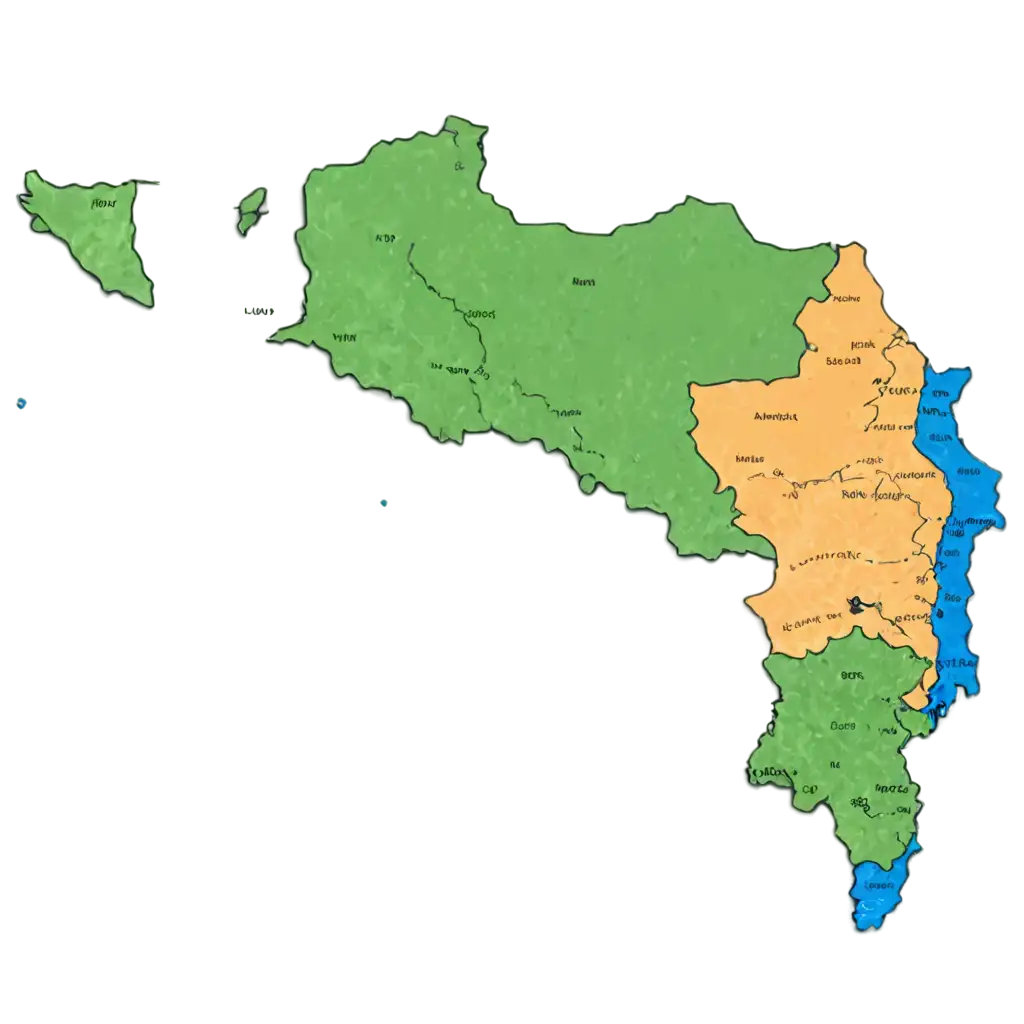
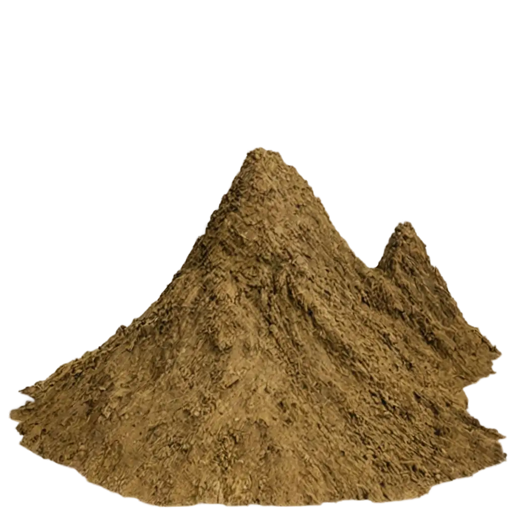
Transparent topography PNGs offer incredible versatility in design projects. Whether you're creating a map for a school project, enhancing a travel brochure, or designing a website with a focus on geography, the transparent format of these images allows for easy layering. By eliminating the background, designers can integrate topographic features into different environments without hassle, creating visually stunning and accurate representations of terrains. PNG Maker’s topography images ensure that details like contour lines and elevation markers remain crisp and clear.
Why Transparent Topography PNG Images are Ideal for Creative Projects
PNG Maker provides users the unique ability to customize topography PNG images directly on the platform. By clicking on 'open in editor' from the image detail page, you can modify the image prompt to generate a new version that fits your project’s needs. This feature is particularly useful for designers who need specific details in their topographic imagery. You can adjust elements such as terrain type, color scheme, and contour intensity, making it easier than ever to match your PNG image with your vision.
Customize Your Topography PNG: How to Use the Editor on PNG Maker
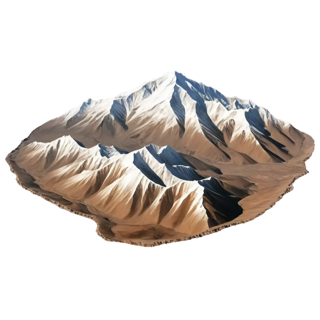
Topography PNG images are invaluable tools in educational and scientific contexts. They help visualize the Earth's surface, making complex geographical data easier to understand. Teachers can incorporate these transparent PNGs into lesson plans, providing students with a clearer understanding of terrains, elevations, and geological formations. Scientists and researchers can use these images for presentations, ensuring that their data is represented accurately and aesthetically. The high resolution and detailed nature of PNG Maker's topography images make them an excellent resource for enhancing both learning and communication.
Using Topography PNGs for Scientific and Educational Applications