13 Free Historical Map transparent PNG images
Welcome to our collection of over 13 free, high-resolution PNG images under the tag 'Historical Map.' This curated gallery offers a diverse range of transparent PNG images showcasing historical maps. Whether you’re working on educational projects, designing creative content, or building interactive experiences, these images can serve as a valuable resource. All images are available for free download in high resolution, and you can also adjust the prompt to regenerate your desired PNG using the 'Open in Editor' feature. Historical maps are perfect for enhancing your website, presentation, or any creative project requiring a vintage or historical aesthetic.


Related Tags
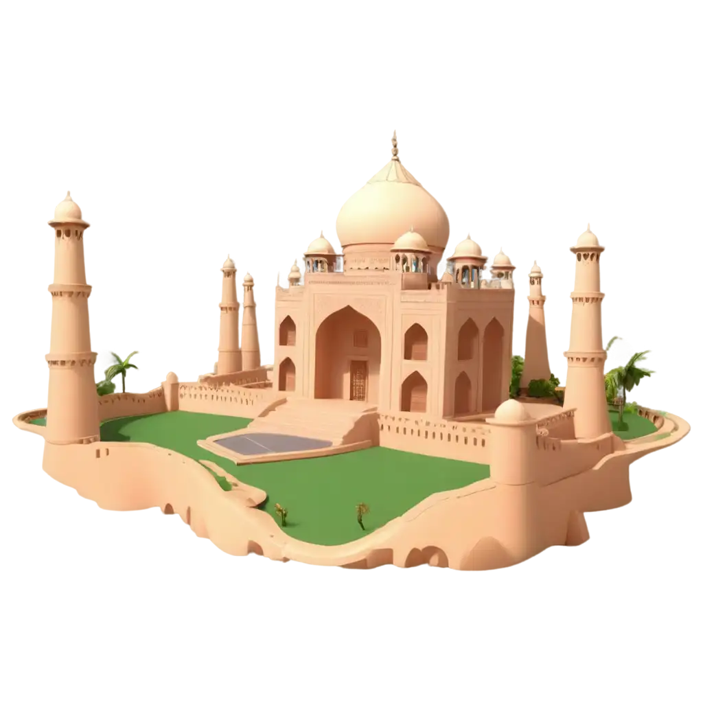
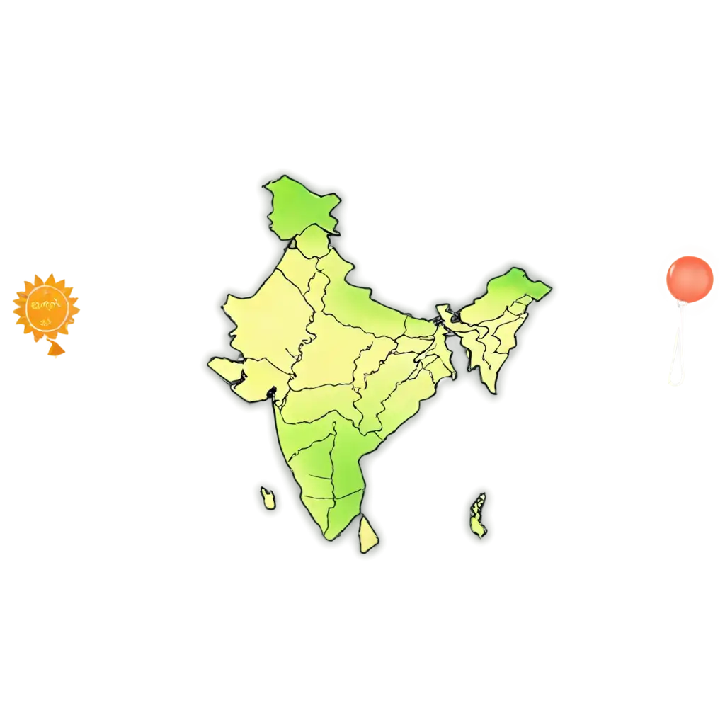
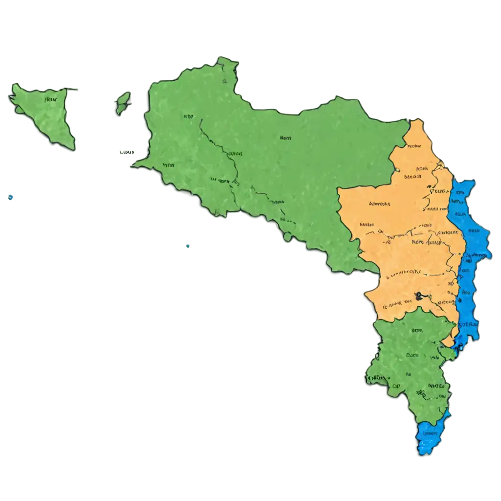
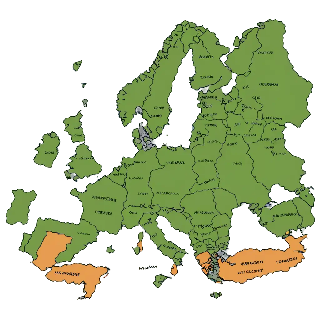
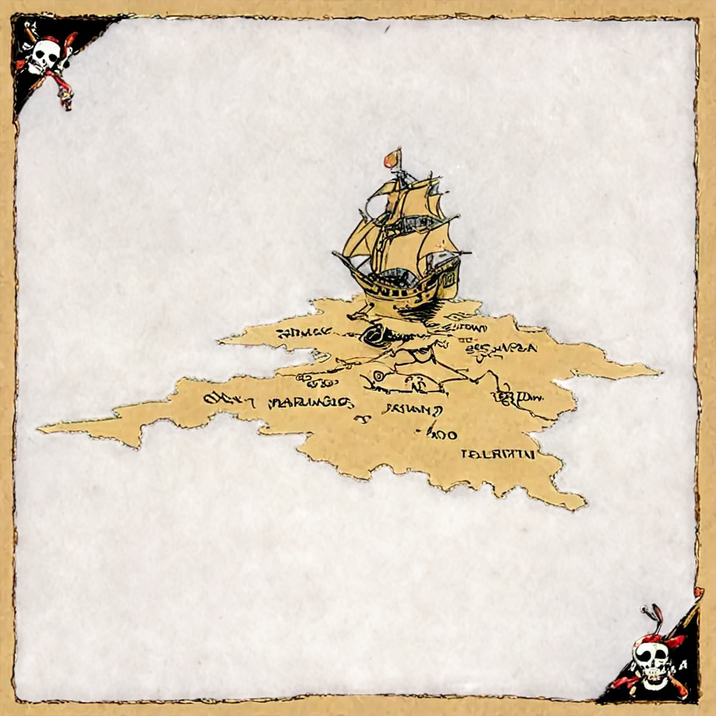
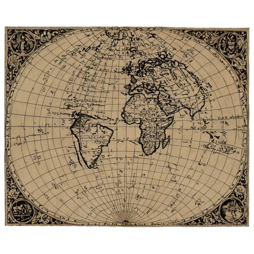
Historical maps are more than just images; they represent a rich narrative of the past. When used in creative projects, they offer a visual representation of history that can help audiences understand geographical, political, and cultural shifts over time. Whether you're designing a website, preparing educational materials, or working on a historical documentary, these maps serve as powerful visual aids. With over 13 high-resolution, transparent PNG images available, users can easily integrate these maps into a variety of mediums. These images offer the flexibility of being used in print, digital, or interactive formats, making them an essential resource for creatives across many industries.
The Importance of Historical Maps in Creative Projects
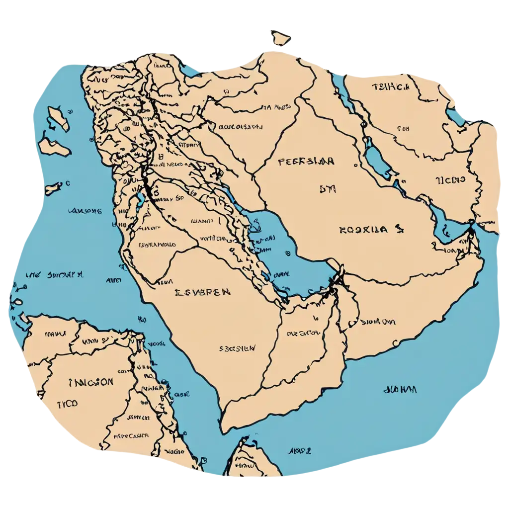
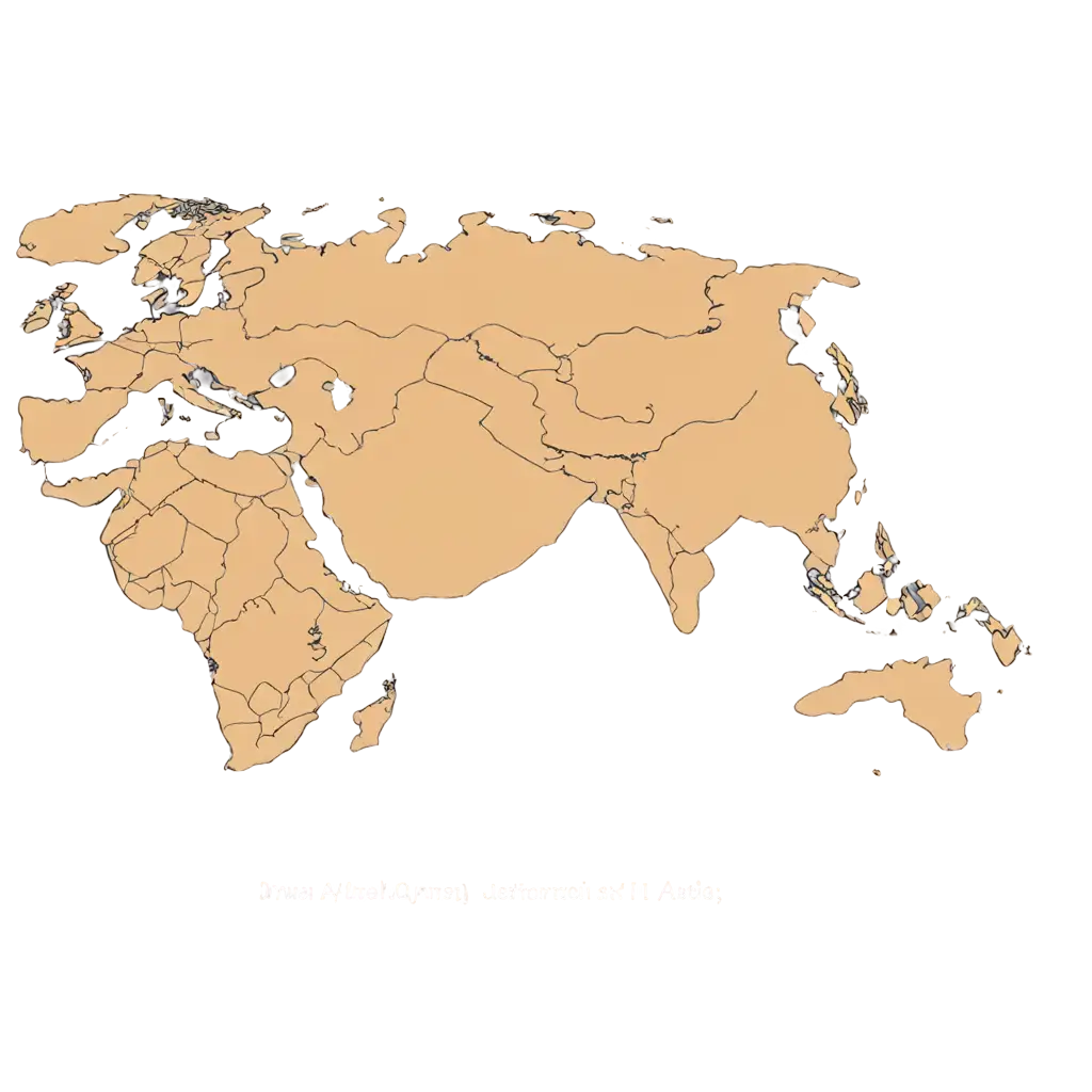
The PNG format offers a significant advantage when working with historical maps. PNG images support transparent backgrounds, which means you can easily overlay them onto any background or design without worrying about unwanted white borders. This is particularly useful for historical maps where intricate details or lines are crucial to the accuracy of the depiction. The high resolution ensures that the images remain sharp and clear, even when resized. Whether you're working on a detailed project or a larger-scale design, the transparency and quality of PNG files ensure a seamless integration into any creative work.
What Makes PNG Historical Maps So Useful?
With the PNG Maker tool, you don’t just get a ready-made historical map image; you get the power to customize it. The 'Open in Editor' feature allows you to adjust the prompt to regenerate the map according to your specifications. You can fine-tune details like the color palette, style, and specific map elements that fit the theme of your project. This flexibility makes it easy for you to transform a historical map into a unique, tailored resource that fits perfectly with your project’s needs, whether it’s for a personal blog, a classroom presentation, or a corporate historical research project.
How to Customize Historical Map PNGs for Your Projects
Downloading and using historical map PNGs from PNG Maker is quick and simple. First, browse through our curated collection of over 13 high-resolution images. Once you find a map that fits your needs, you can click on it to view the full-size image, and then download it directly to your computer. All PNG images are free to use, with transparent backgrounds for easy integration into your work. The 'Open in Editor' feature gives you the option to modify and regenerate the image as needed. Whether you’re working on a small project or a large-scale production, these high-quality maps are ready for use in a wide range of applications.
How to Download and Use Historical Map PNGs from PNG Maker