47 Free Political Map transparent PNG images
Welcome to our Political Map PNG collection! Here, you will find over 47 free, high-resolution PNG images under the 'Political Map' tag. These images offer diversity in design and creativity, perfect for anyone looking to download political maps for various purposes. Whether for educational resources, presentations, research, or design projects, our collection is free and easy to access. Plus, with our 'open in editor' feature, you can modify and regenerate any of these PNGs to suit your specific needs. Explore endless possibilities with customizable PNGs for all your projects!


Related Tags
Our collection of Political Map PNG images offers over 47 high-resolution files, available for free download. These transparent PNGs are perfect for a variety of applications, including presentations, educational projects, research papers, and personal or commercial design projects. Each image is ready to use in its original format, or you can click on 'open in editor' to customize it to match your specific needs.
High-Resolution Political Map PNG Images for Free Download
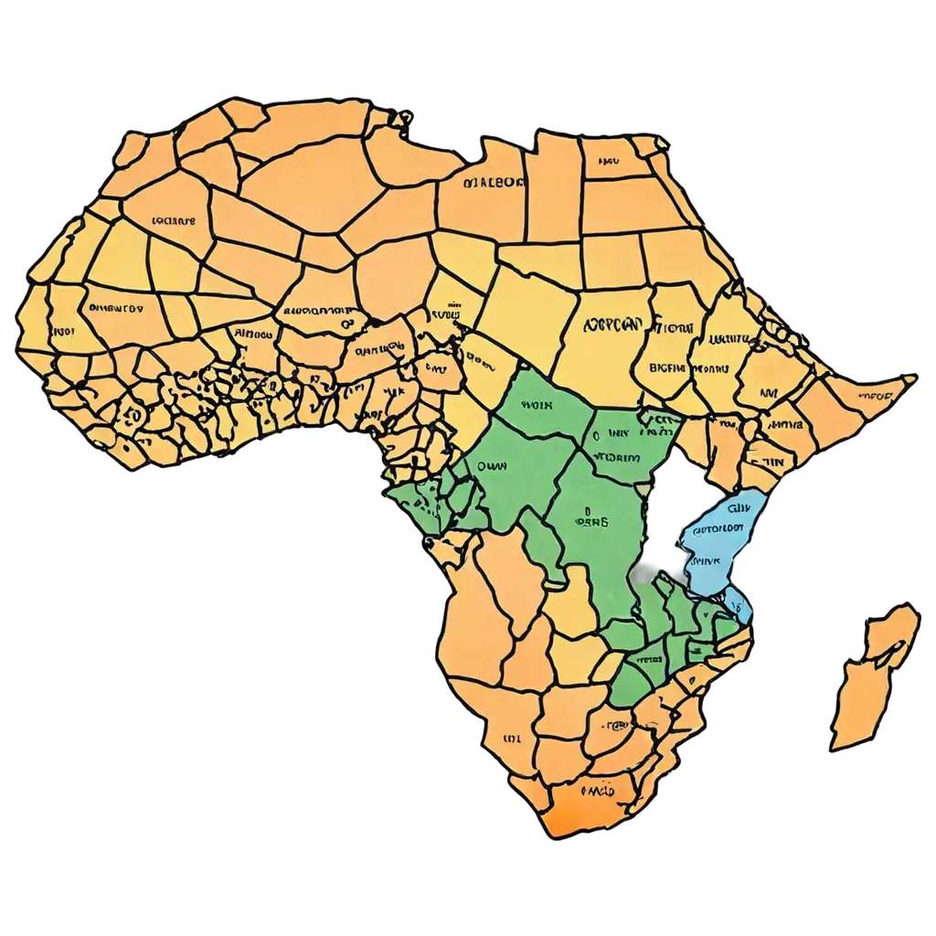
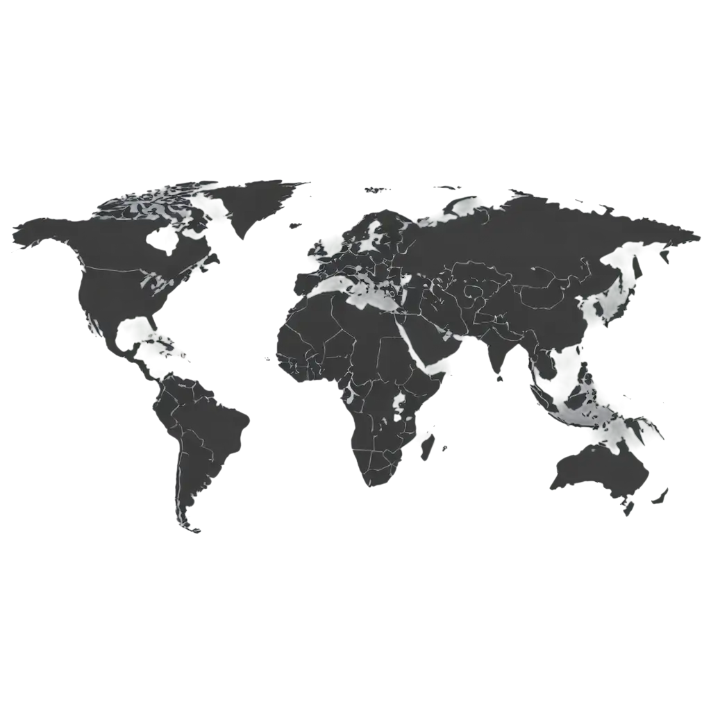
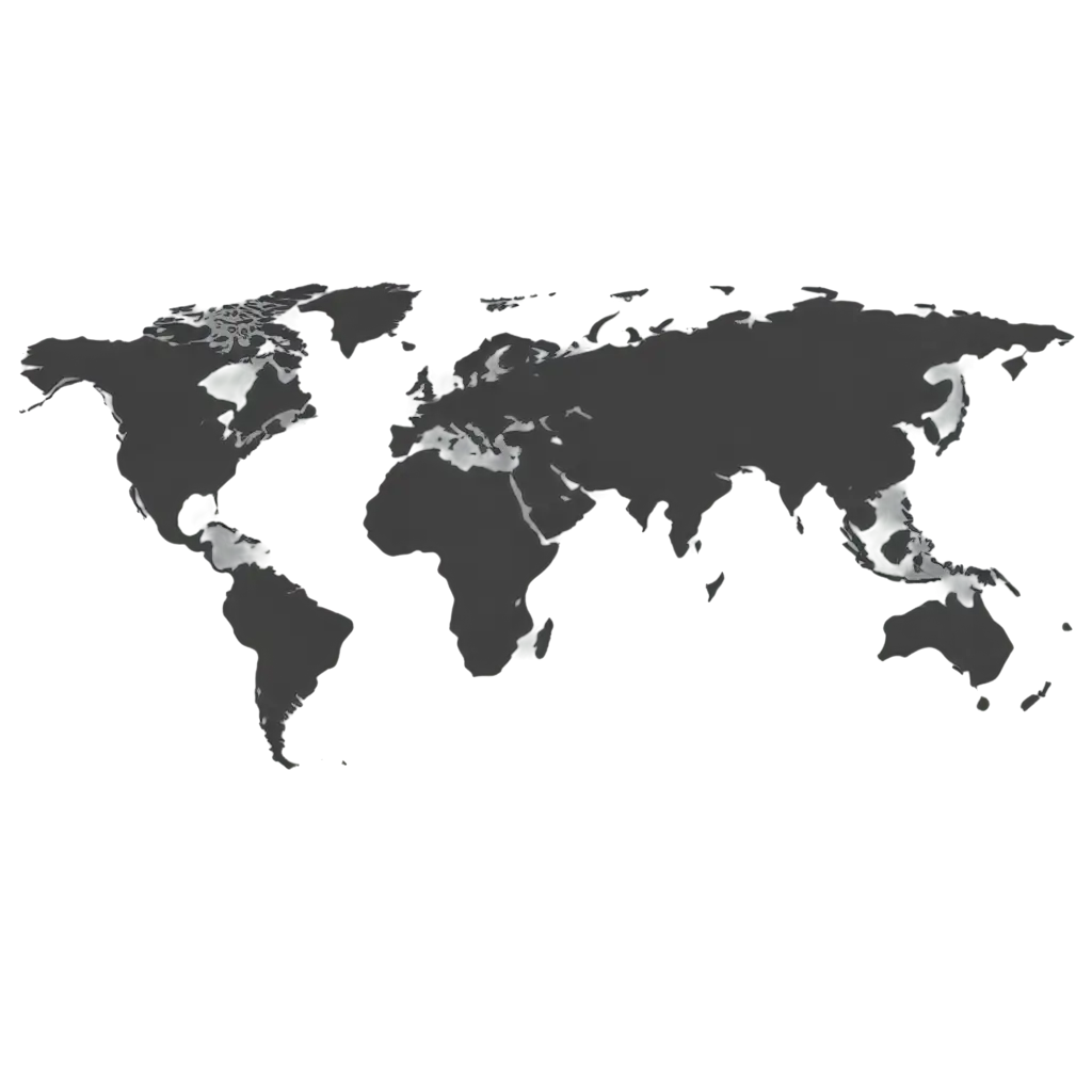
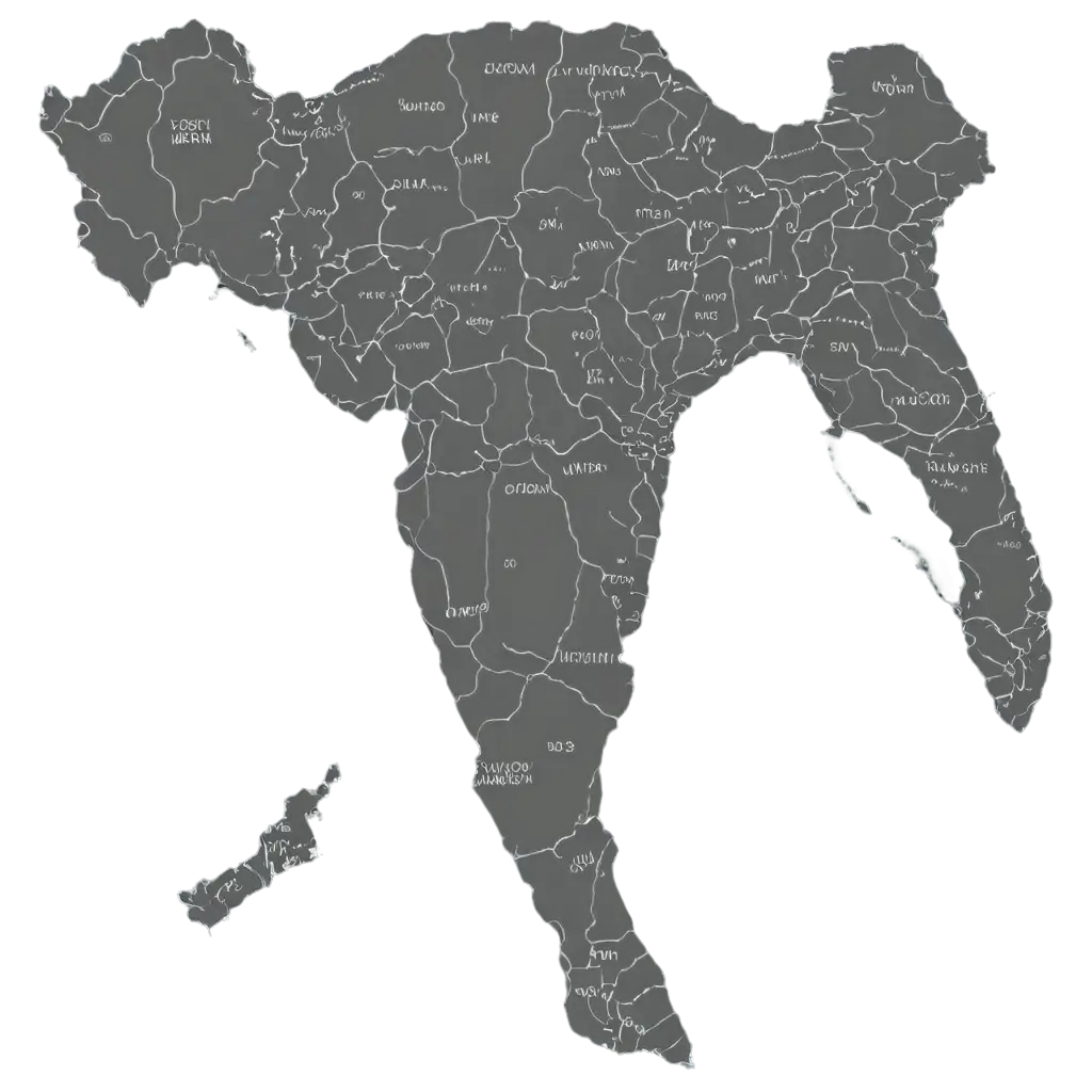
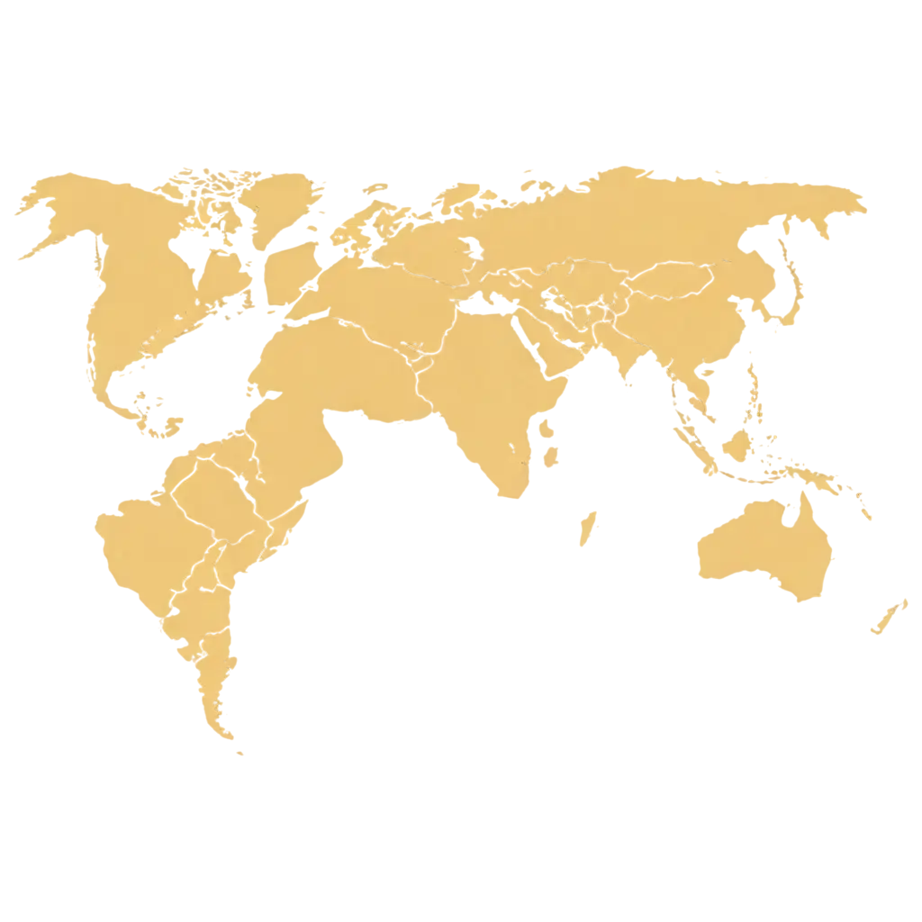
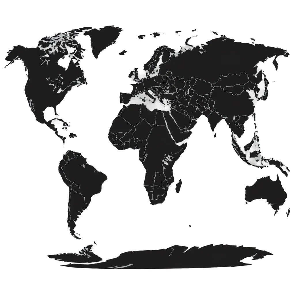
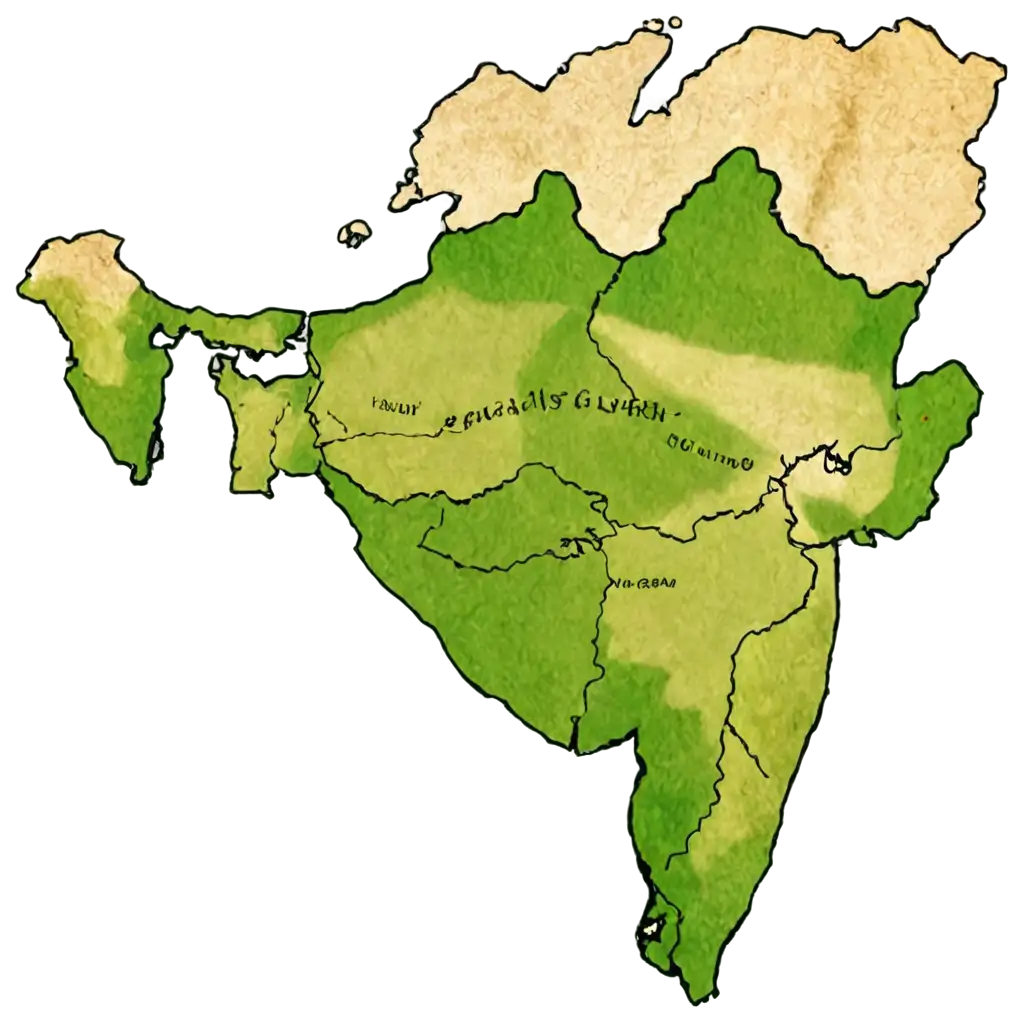
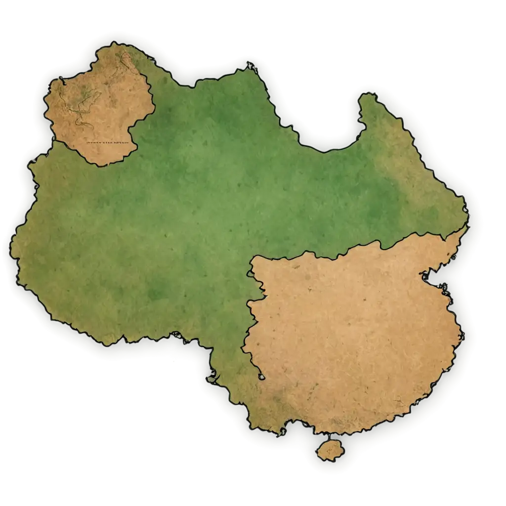
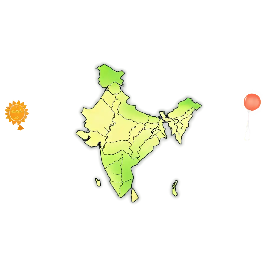
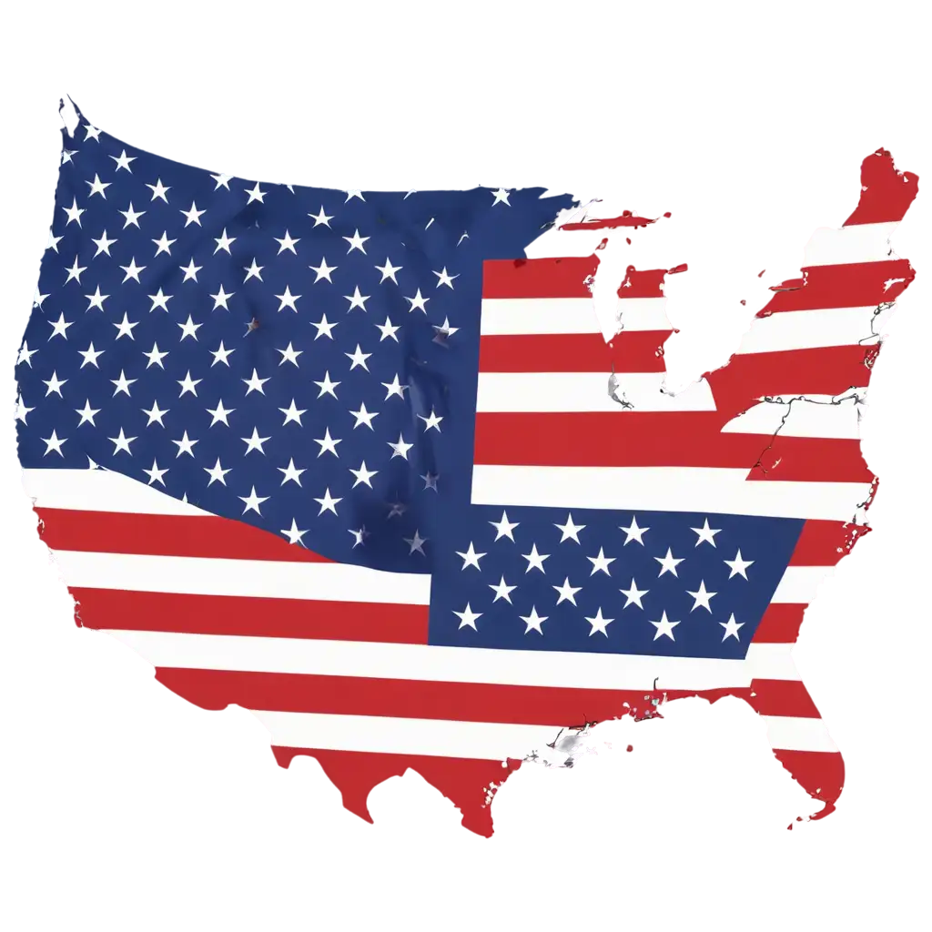
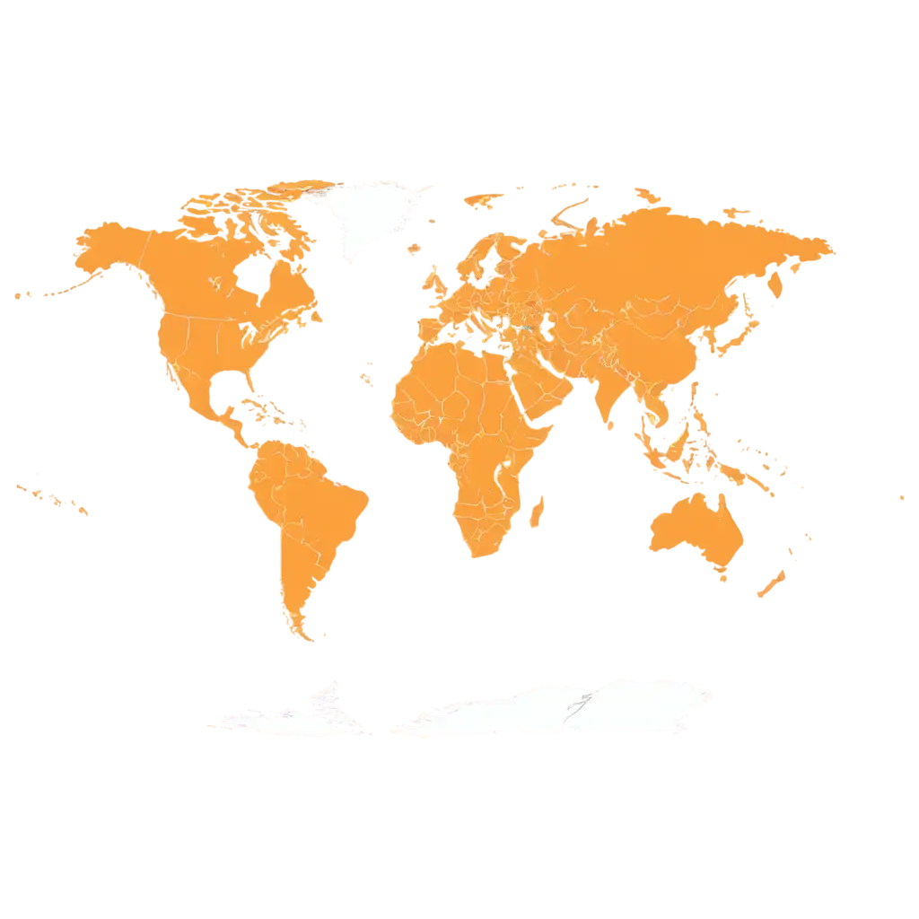
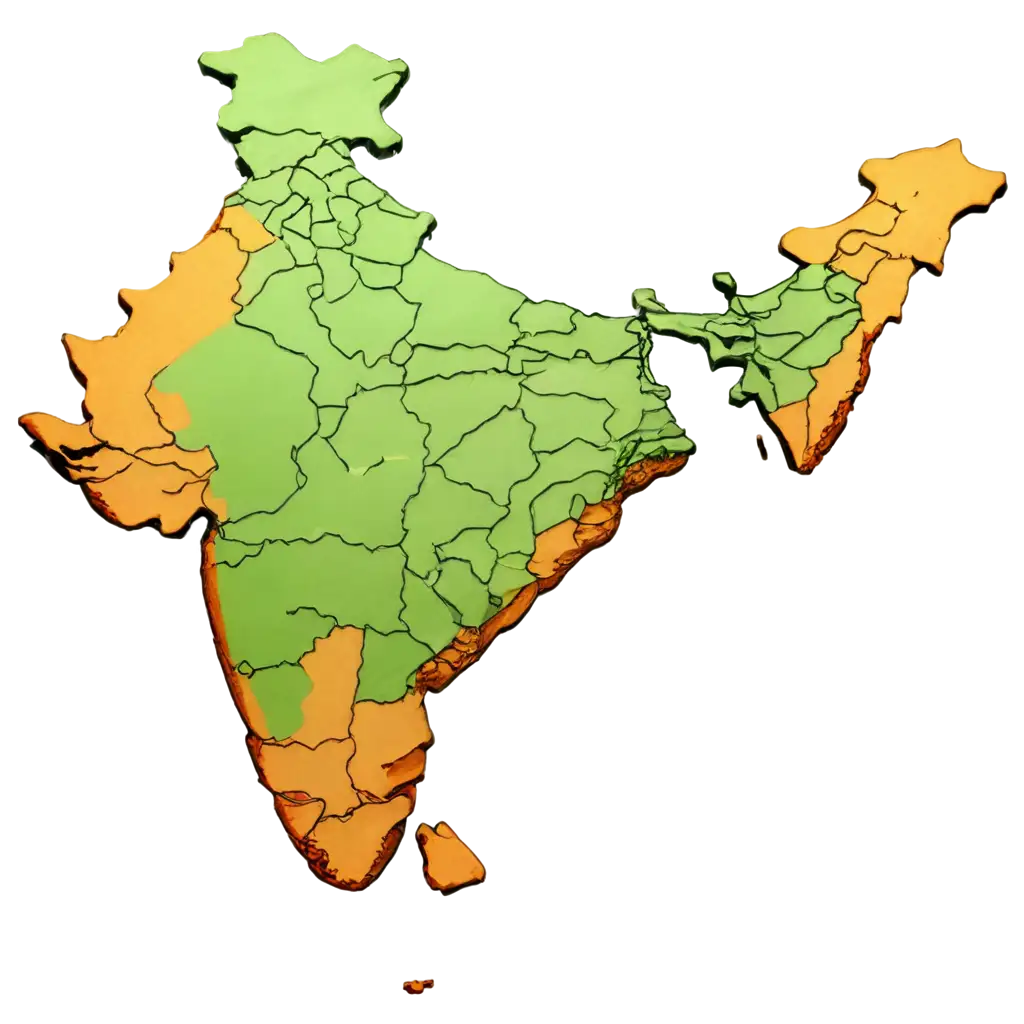
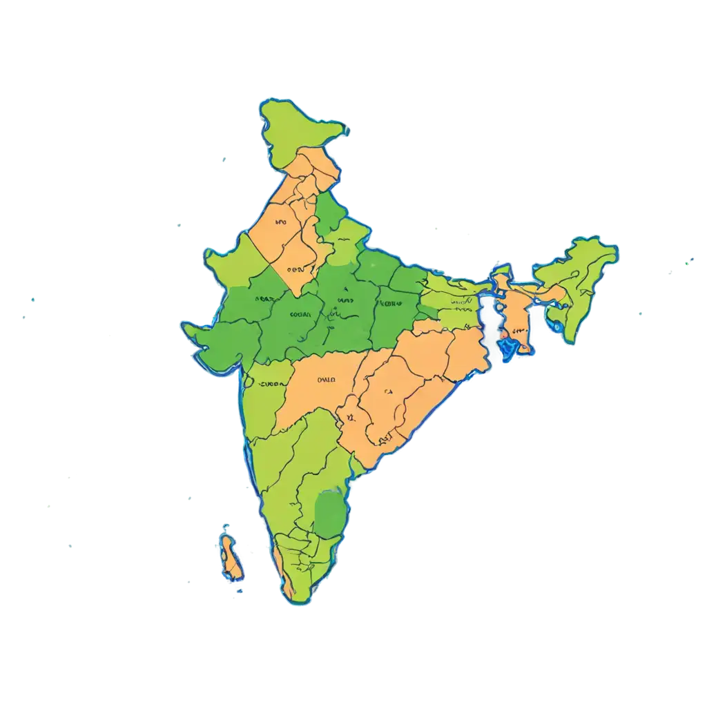
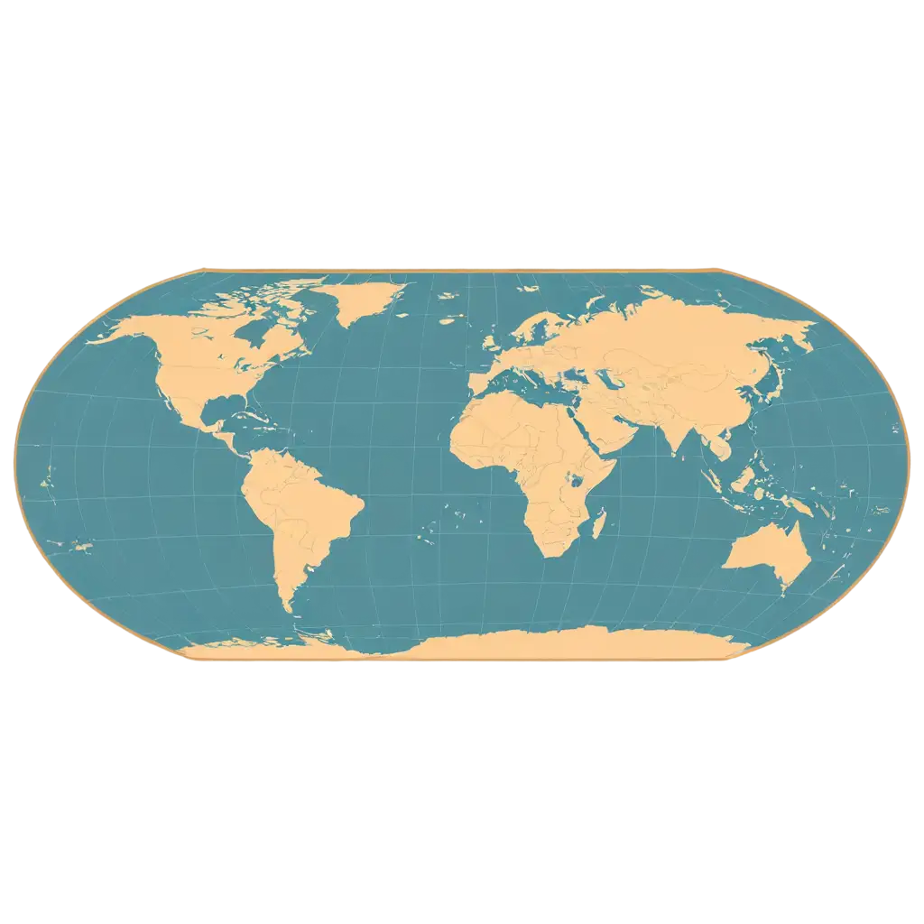
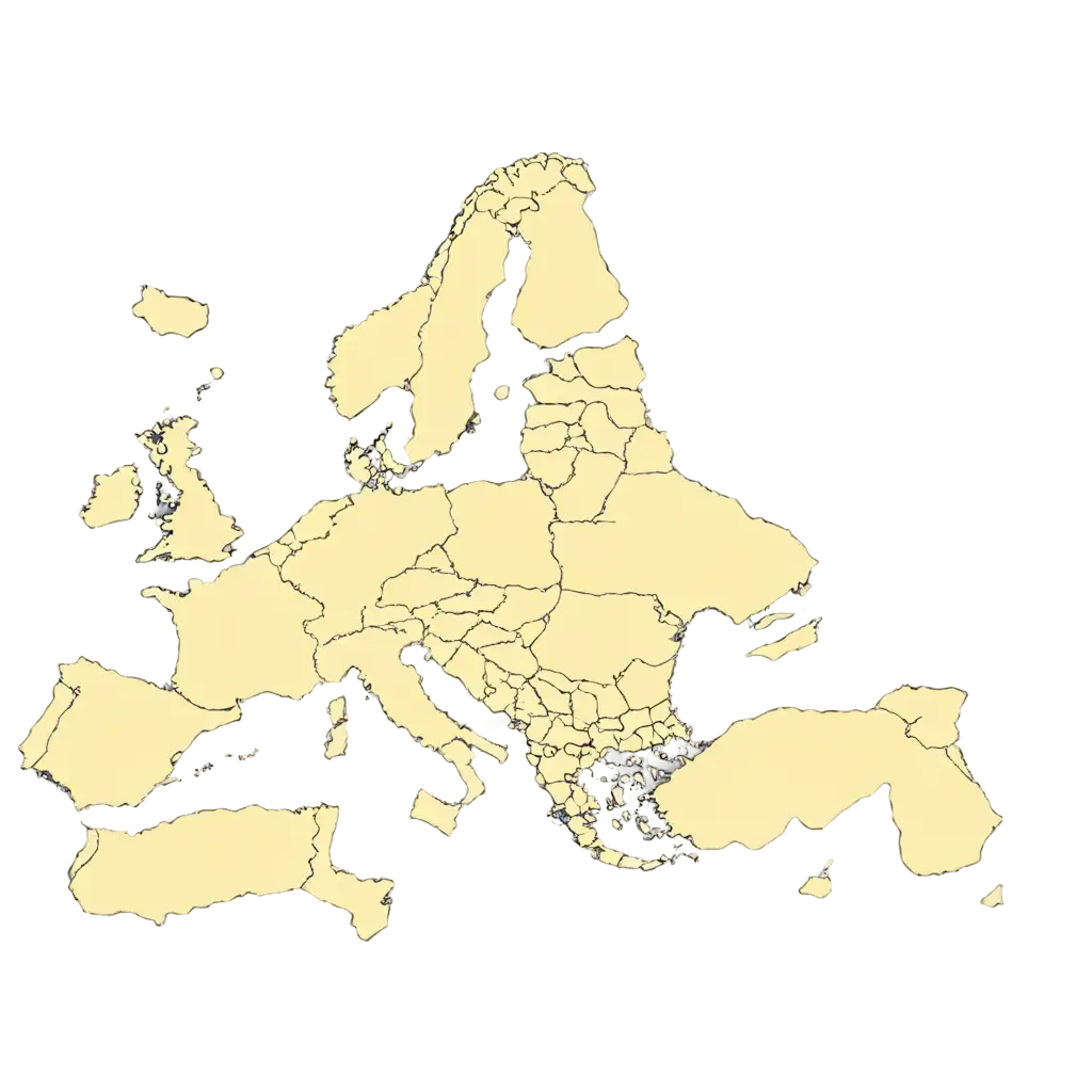
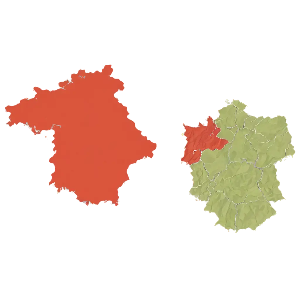
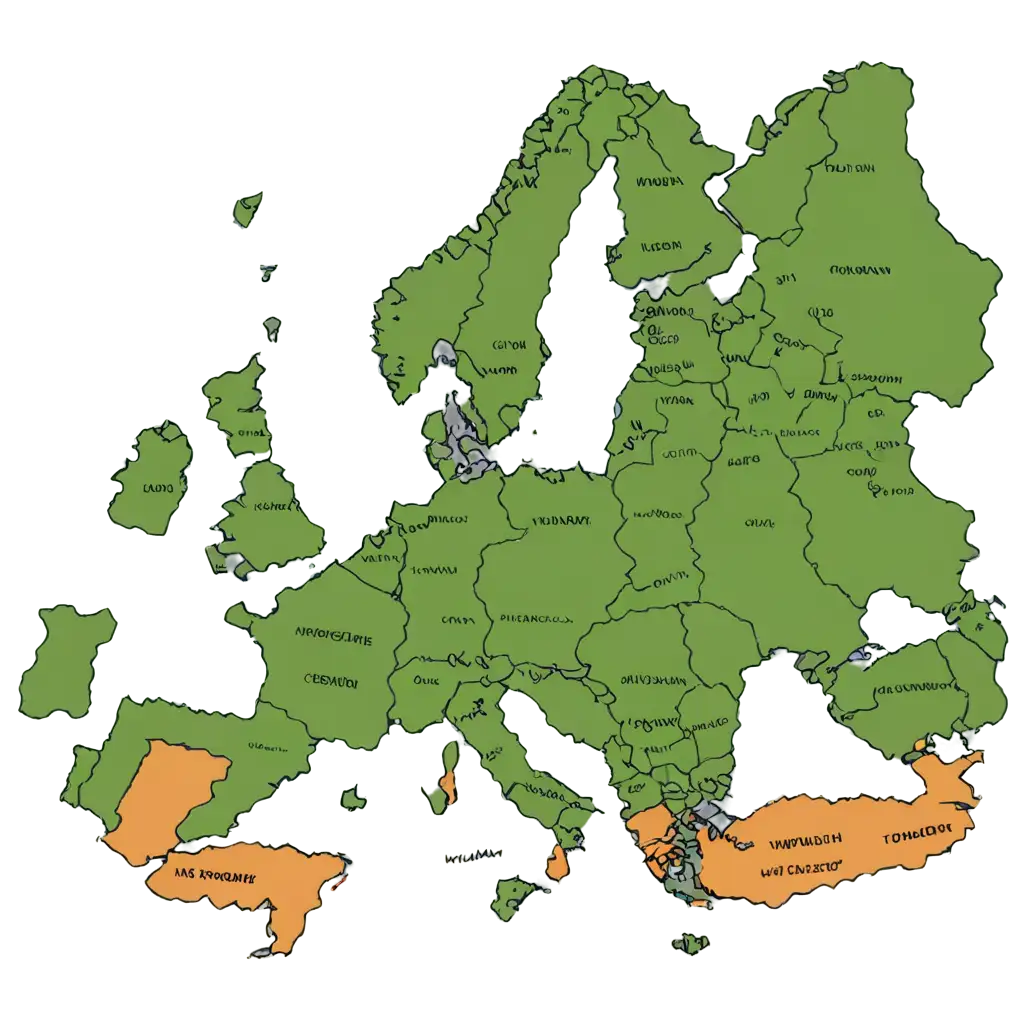
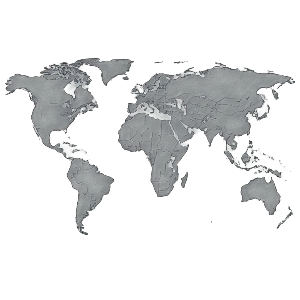
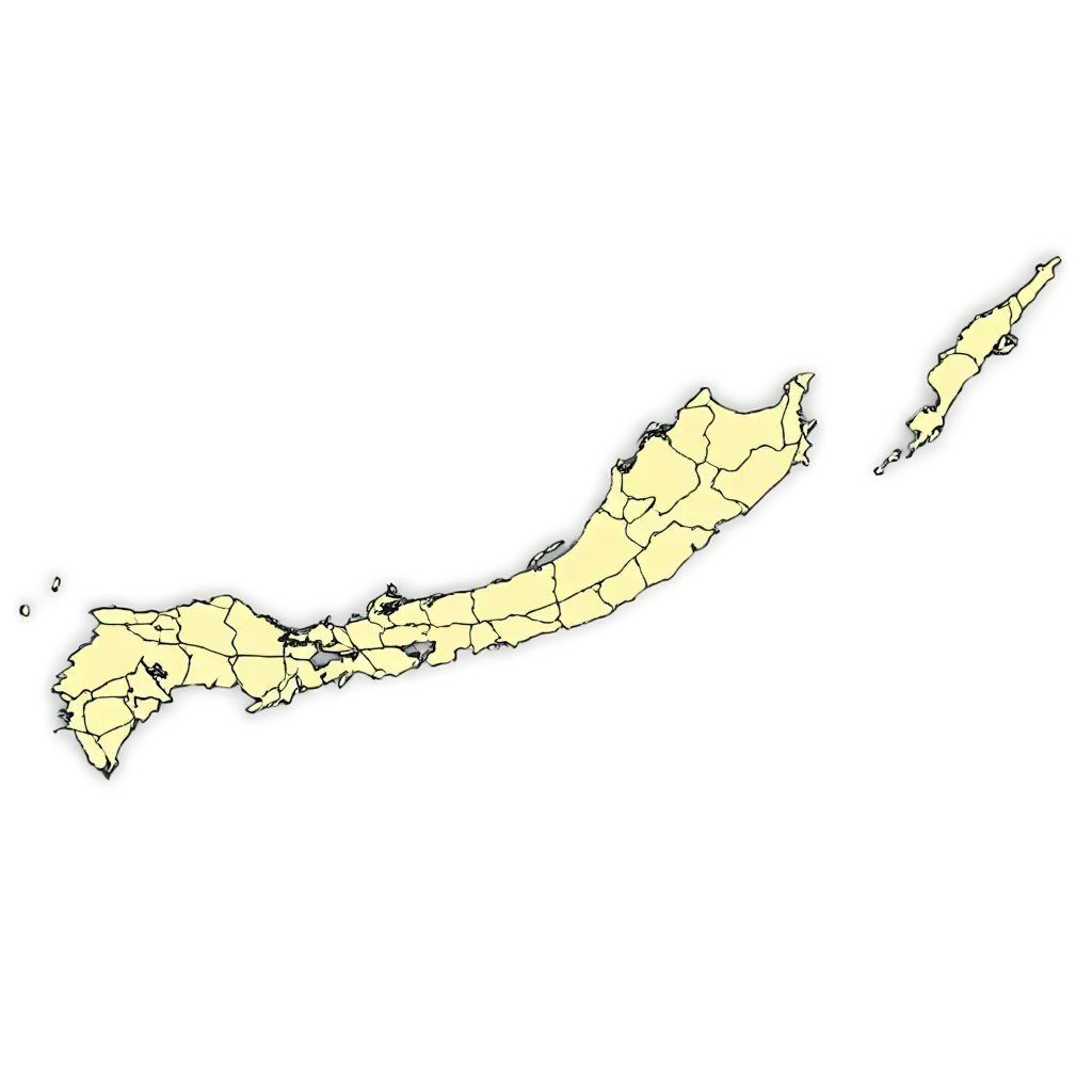
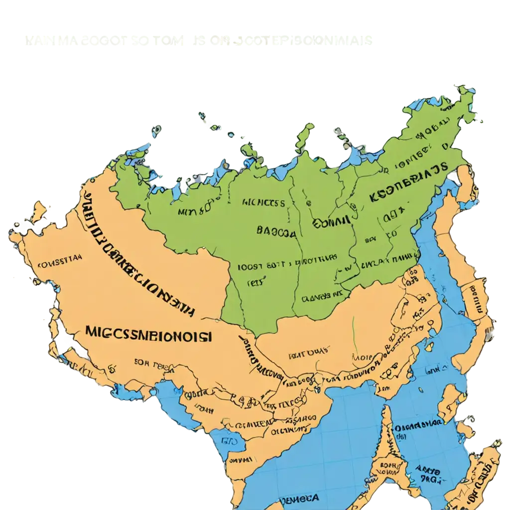
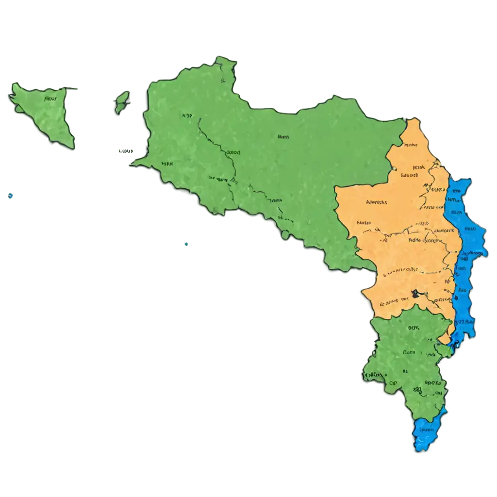
Political maps represent the boundaries of countries, states, and major cities, often highlighting important political divisions. These maps are essential tools for educators, researchers, and students, providing clear visualizations of political territories. The PNG format makes these maps more flexible for use in different projects, allowing for seamless integration into presentations or printed materials. With the transparent background, users can layer these maps onto other designs effortlessly.
Understanding Political Maps and Their Importance
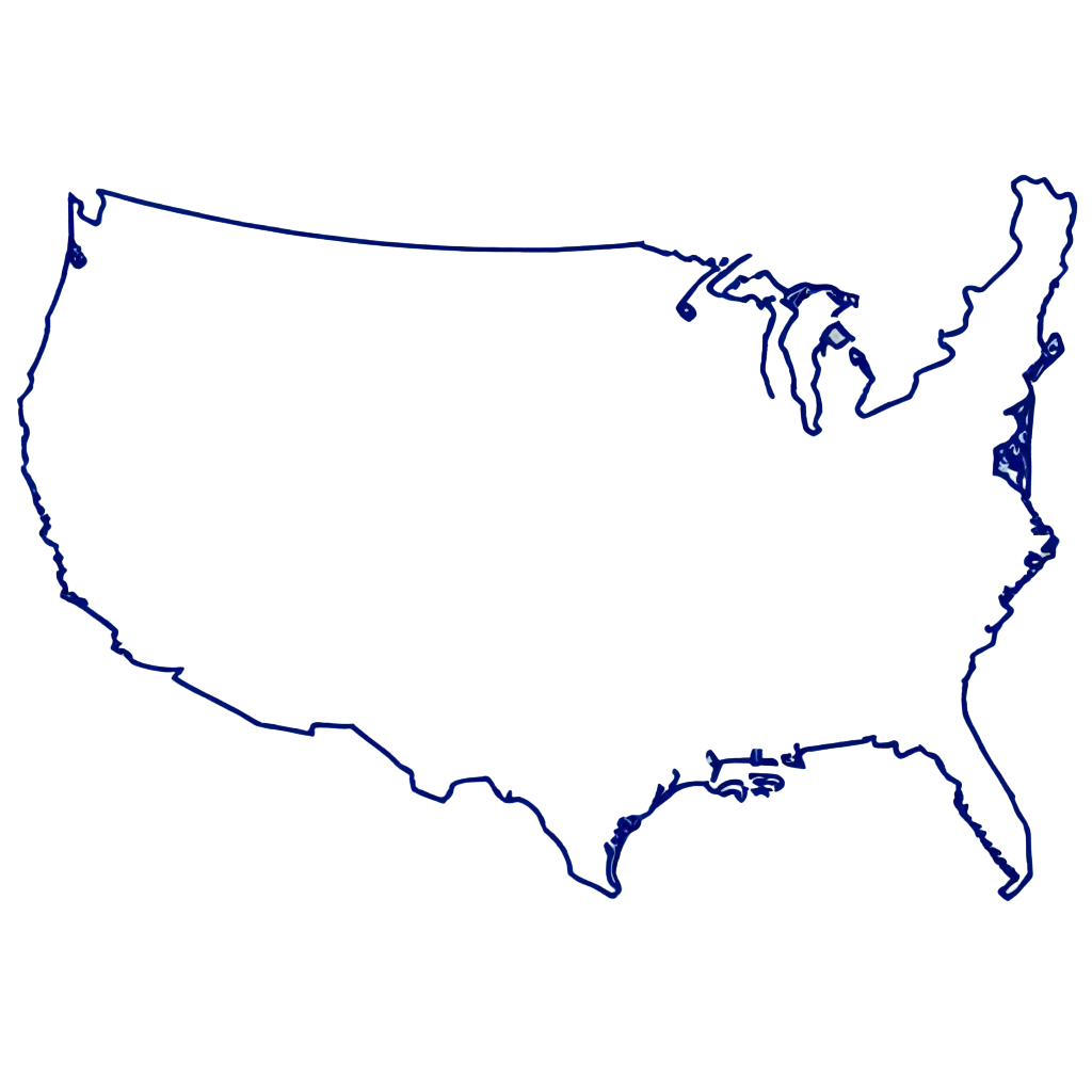
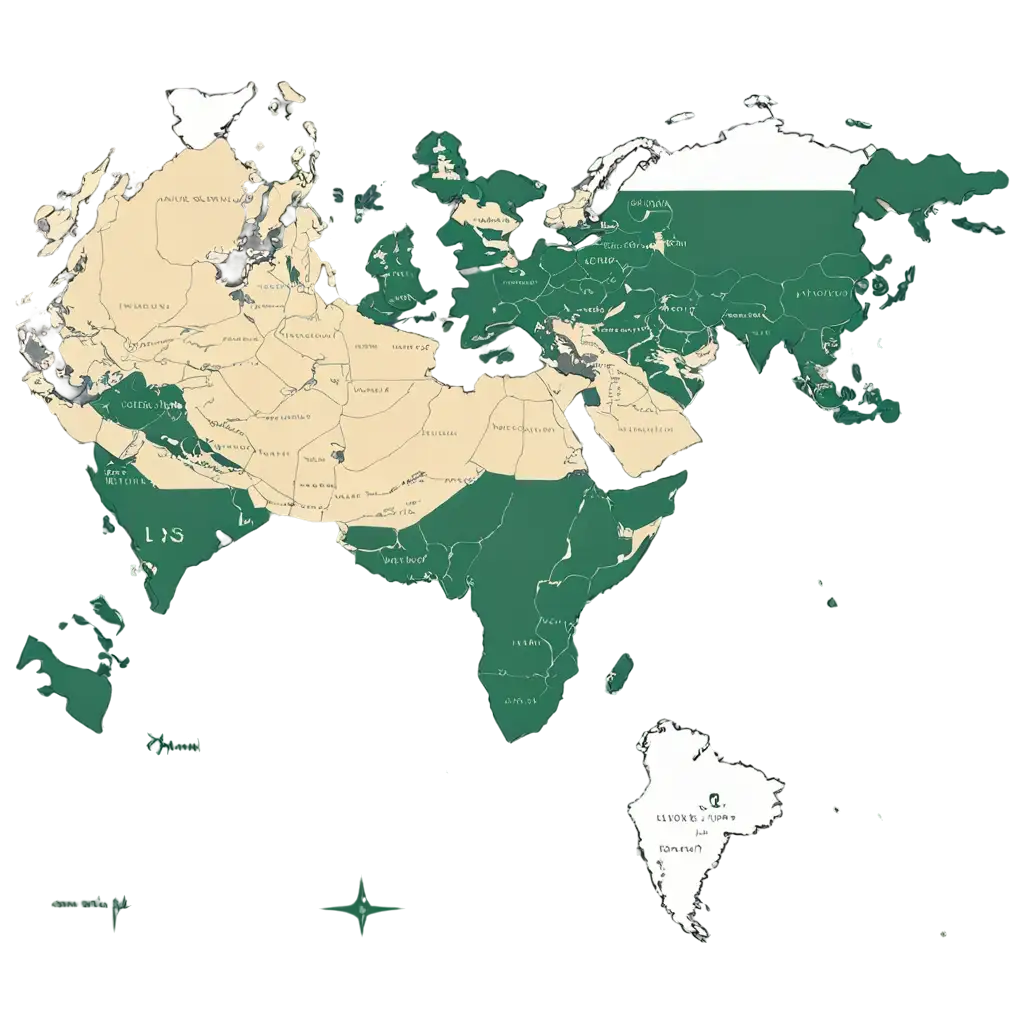
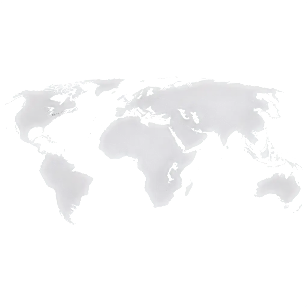
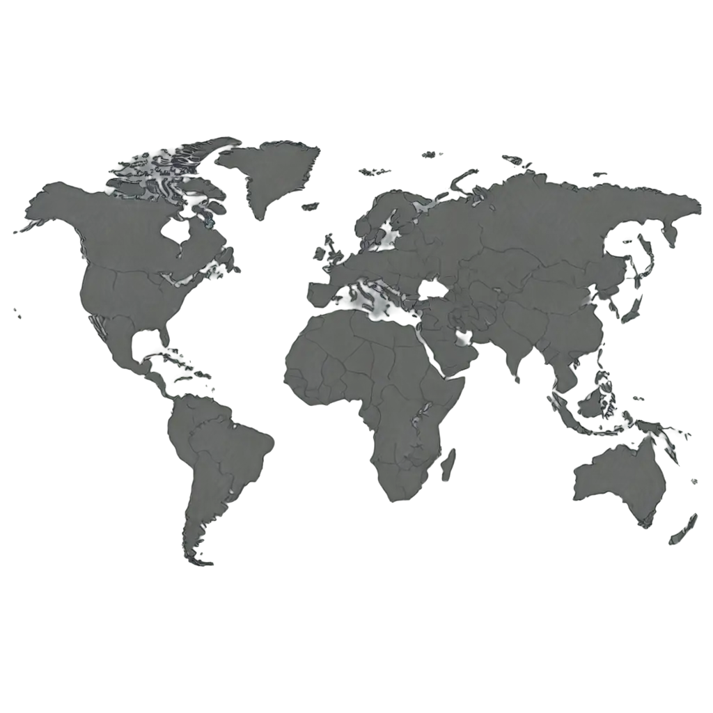
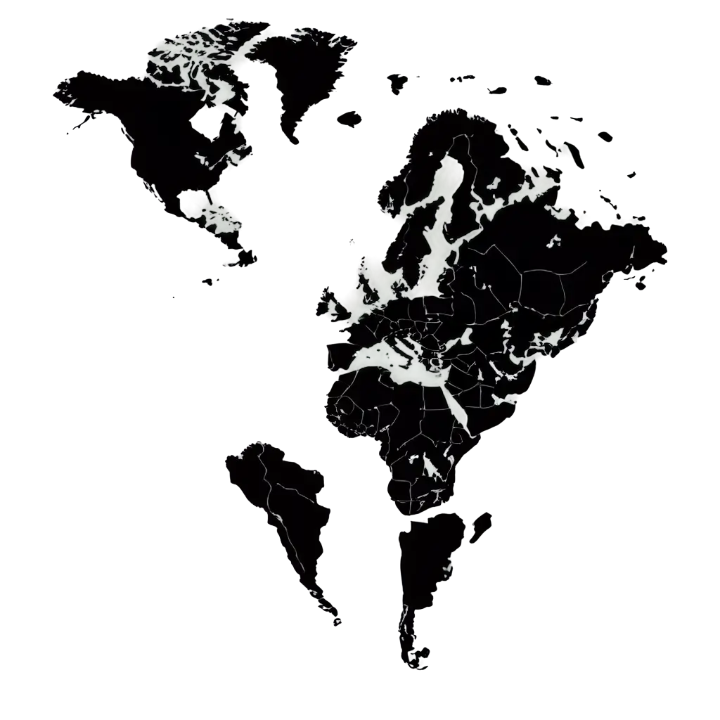
Using transparent PNG images gives you the flexibility to overlay maps onto various backgrounds without worrying about unsightly borders or color mismatches. This is especially useful for designers and educators who need to integrate political maps into diverse projects. Our transparent PNG maps can be easily customized to fit your needs—whether you need a specific region highlighted or want to adjust the color scheme. The PNG format ensures that the quality of the image remains high, even when resizing or making edits.
Benefits of Transparent PNG Political Map Images
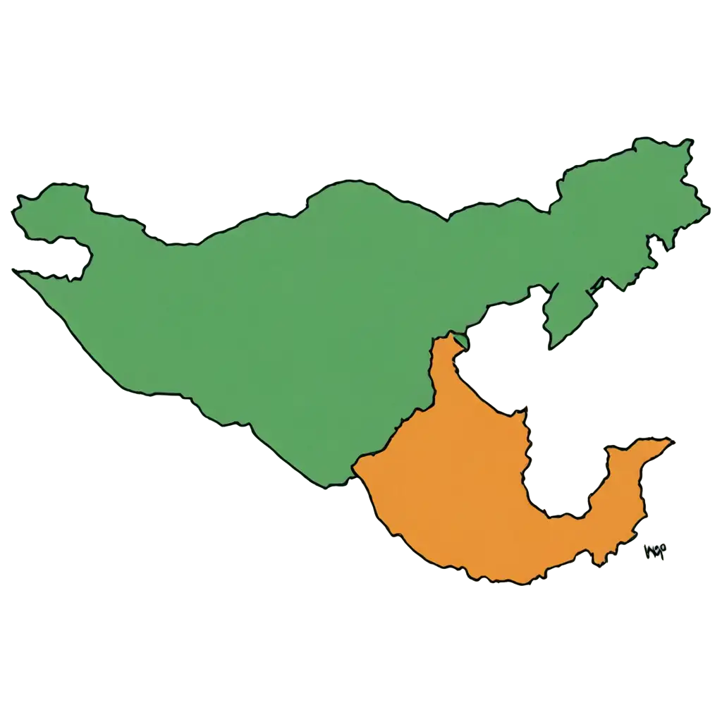
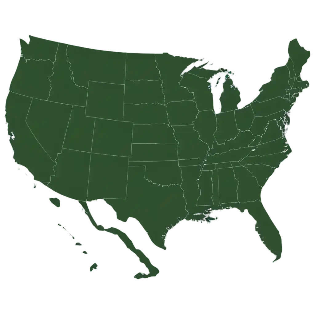
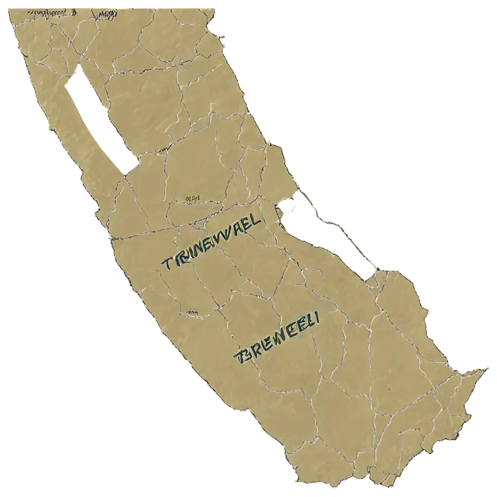
One of the unique features of our platform is the 'open in editor' tool. With this tool, you can adjust the look and feel of any Political Map PNG image from our collection. Whether you need to change the color scheme, add labels, or highlight specific regions, our editor makes customization easy. Once you're satisfied with the changes, you can regenerate the PNG, ensuring it fits your project's exact requirements. This feature is particularly useful for users working on specialized projects where standard maps may not suffice.
Customizing Your Political Map PNG with Our Editor