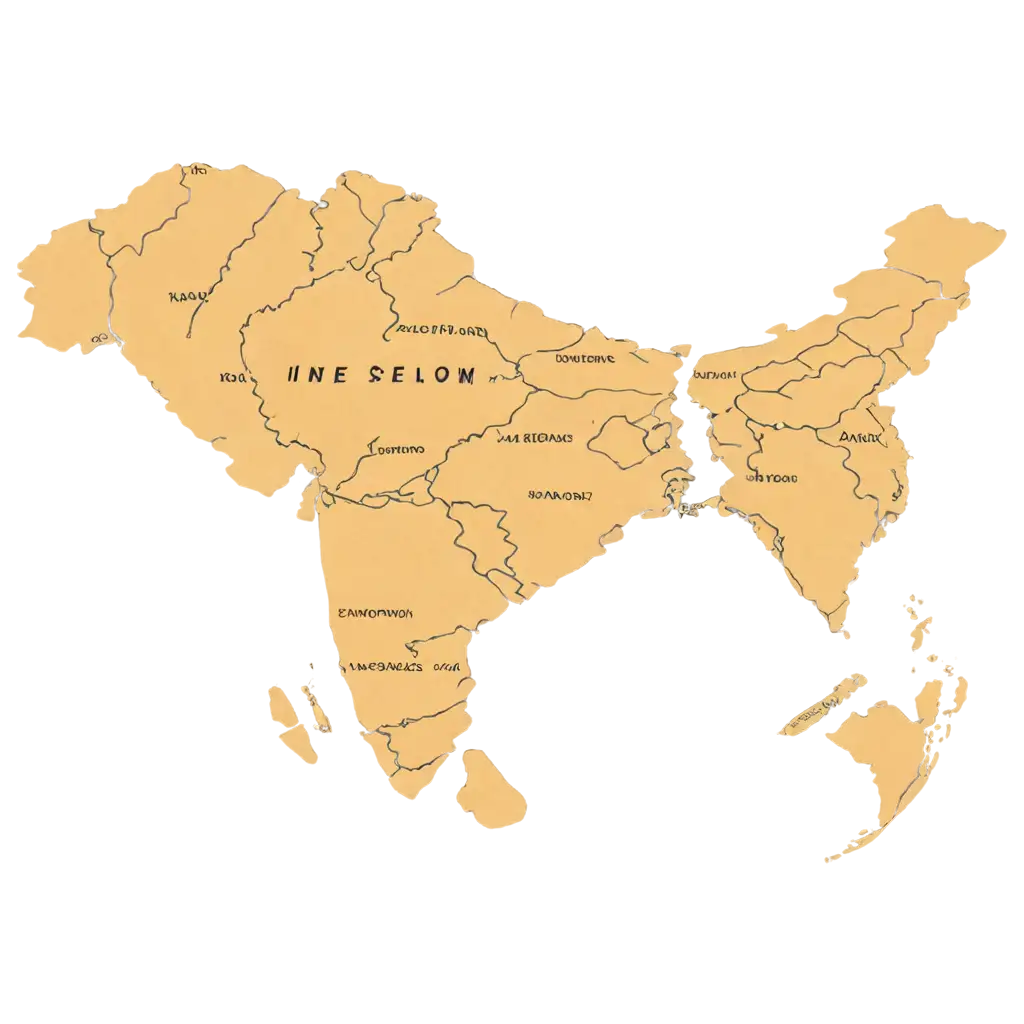
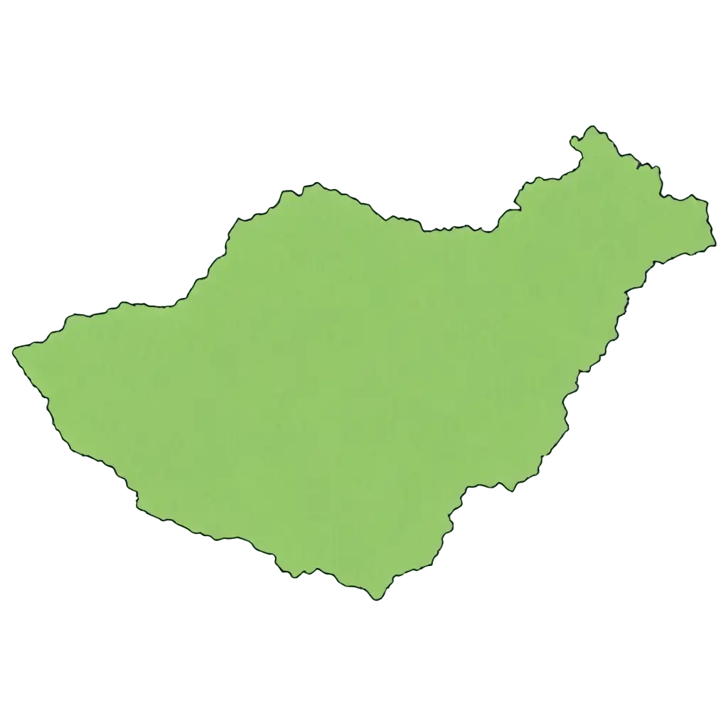
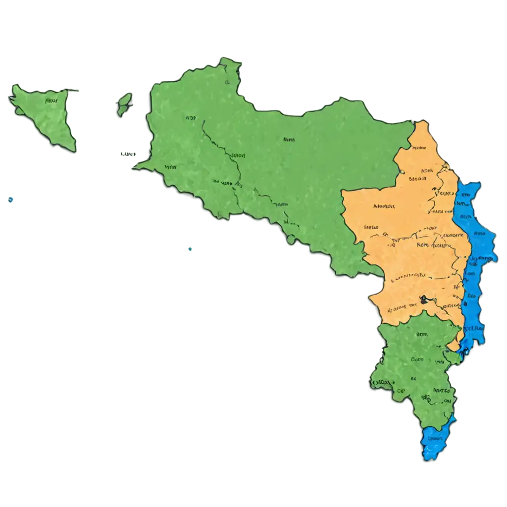
18 Free Country Map transparent PNG images
Welcome to the 'Country Map' page, where you can explore over 18 high-resolution PNG images featuring maps of various countries. Each map is designed to be transparent, offering versatility for a wide range of creative and professional applications. Whether you're creating educational materials, designing website graphics, or simply in need of a high-quality map image, you'll find the perfect resource here. With the added feature of adjusting the images through our 'Open in Editor' tool, you can easily regenerate a map to fit your specific needs. Downloading and using these free PNG images is simple, and with transparency, they integrate seamlessly into any project.


Related Tags
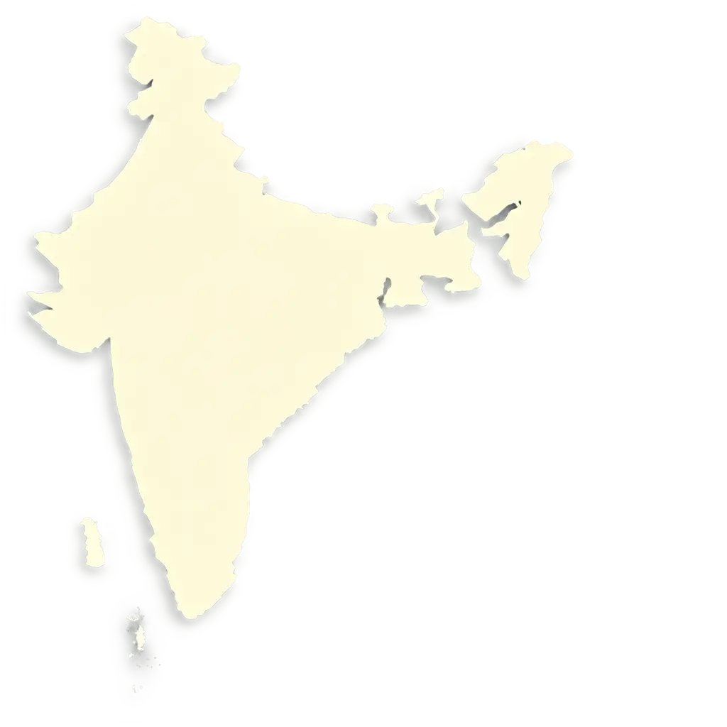
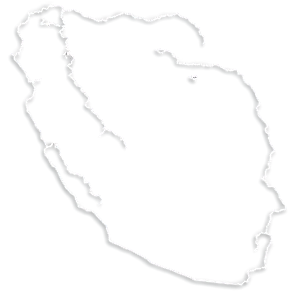
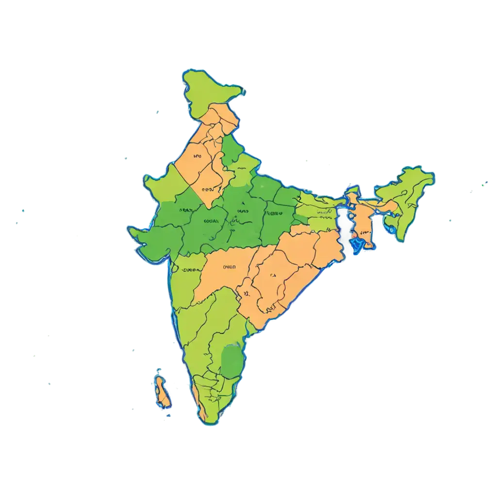
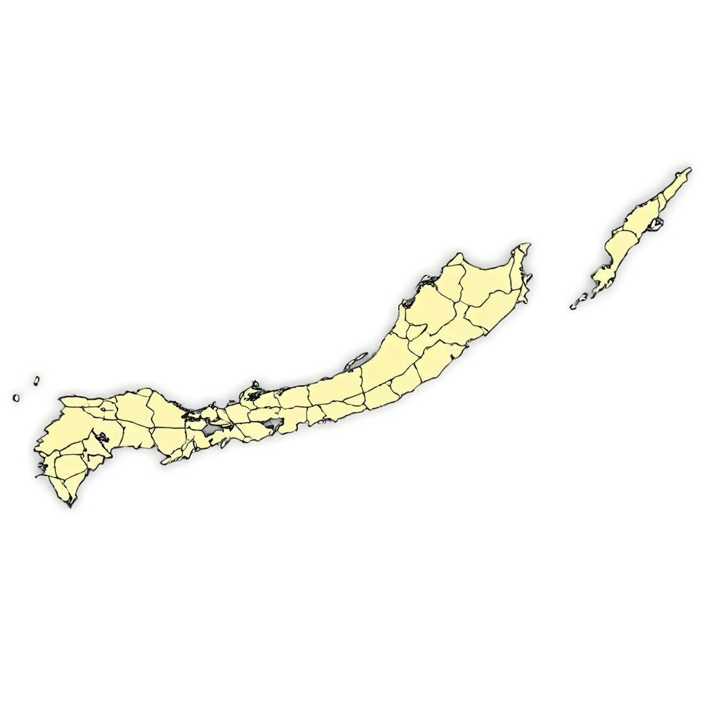
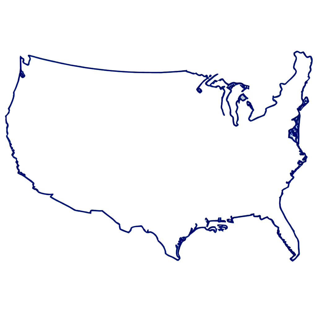
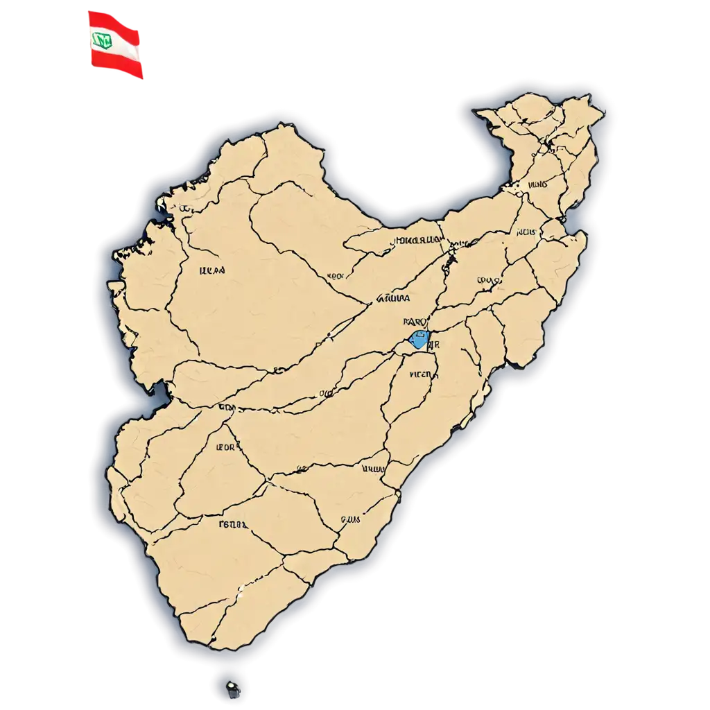
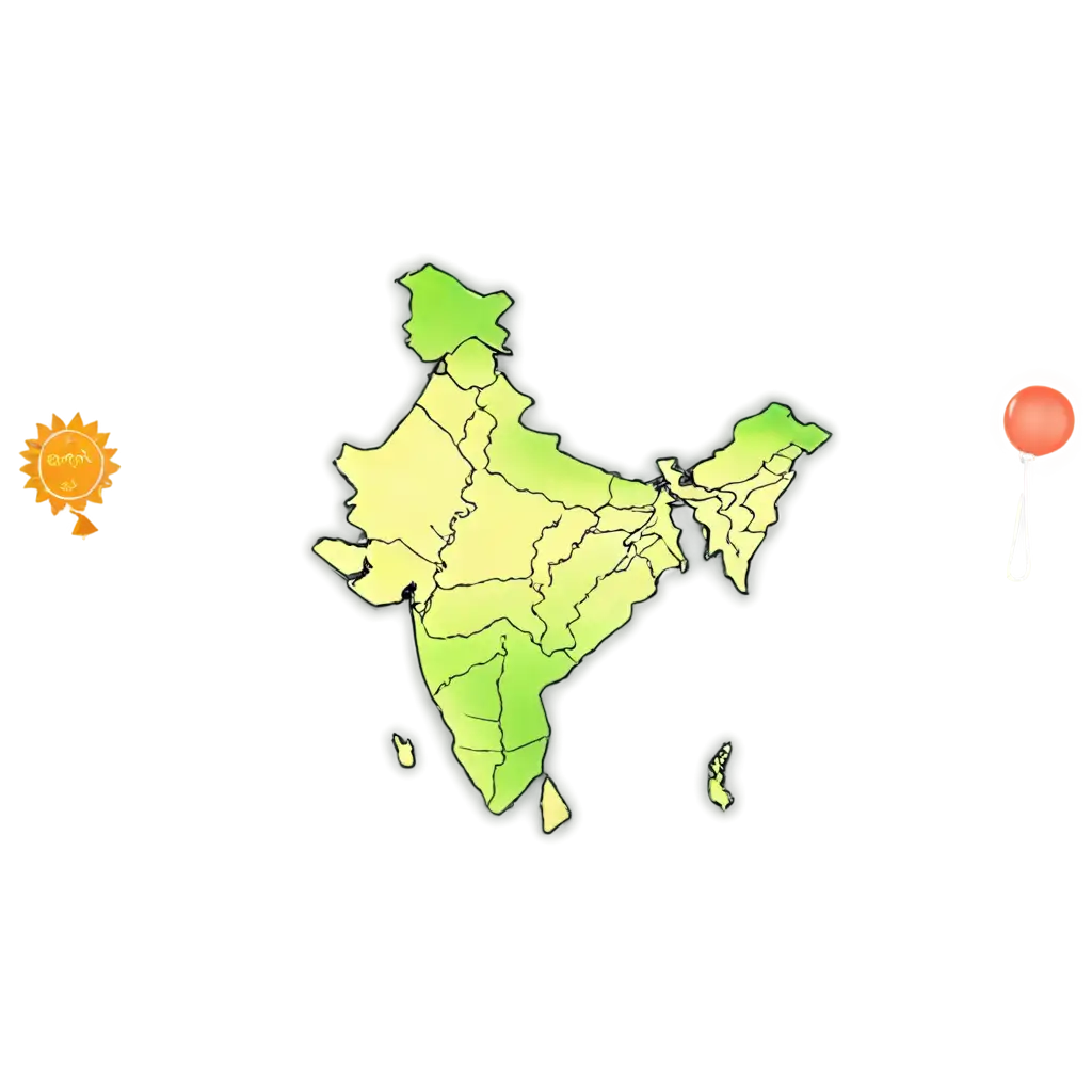
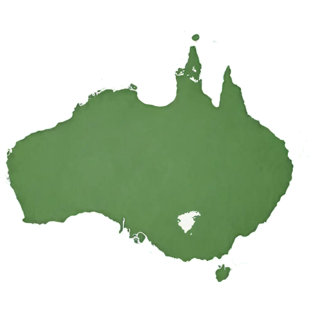
Country map PNG images are high-quality representations of country boundaries, designed with transparent backgrounds. These images allow designers, educators, and developers to use maps without worrying about background removal or editing. Available in various formats, each map is optimized for clarity and resolution, making them ideal for web graphics, educational resources, and digital design projects. On PNG Maker, you can easily download these maps in PNG format, ensuring compatibility across multiple design tools and platforms.
What Are Country Map PNG Images?
Transparent PNG images, such as country maps, provide a significant advantage for designers and creatives. The lack of a background allows you to seamlessly integrate these maps into any design, whether it's for a website, app, brochure, or presentation. The transparency ensures the map blends effortlessly with different color schemes and backgrounds. Whether you're layering elements or applying creative effects, transparent PNG maps give you flexibility and a polished look for your project. PNG Maker's easy-to-use tools enable you to download these maps at high resolutions, ensuring that the quality remains intact when scaling the image.
How Transparent PNG Images Benefit Your Projects
Country map PNG images are versatile and can be used in a variety of contexts. These maps are perfect for educational materials, such as teaching aids, presentations, and textbooks. They are also widely used in travel blogs, news websites, and global data visualizations. Additionally, marketers often use country maps for geographic-focused campaigns, creating visually appealing infographics and ad creatives. Whether you’re creating interactive web content or simple graphic design elements, country map PNG images serve as a valuable tool for a range of professional applications.
Use Cases for Country Map PNG Images
Editing country map PNG images on PNG Maker is simple and efficient. Once you’ve selected your desired map, you can click on the 'Open in Editor' button, which allows you to adjust the map’s size, colors, and other design elements. You can also regenerate the map by modifying the text prompt to better suit your needs. Whether you want to zoom into a specific region, highlight a particular country, or change the style of the map, PNG Maker’s intuitive editor ensures you get the perfect image without the need for complex graphic software. This flexibility is particularly helpful for users who require customized maps for specific geographic projects.
How to Edit and Customize Country Map PNG Images on PNG Maker