13 Free Topographic Map transparent PNG images
Welcome to our collection of over 13 high-quality, free-to-download PNG images under the tag 'Topographic Map.' These PNG images, which are available in various styles and formats, are designed for professionals, educators, and enthusiasts in the fields of geography, environmental studies, and urban planning. Each topographic map image is available in a transparent PNG format, which allows for easy integration into presentations, reports, and design projects. The high-resolution files are ready for download, and you can also adjust the prompt to regenerate the exact topographic map you need by clicking 'open in editor' on the PNG image detail page. Whether you're looking for maps for educational purposes or graphic design projects, our collection of topographic maps has something for everyone.


Related Tags
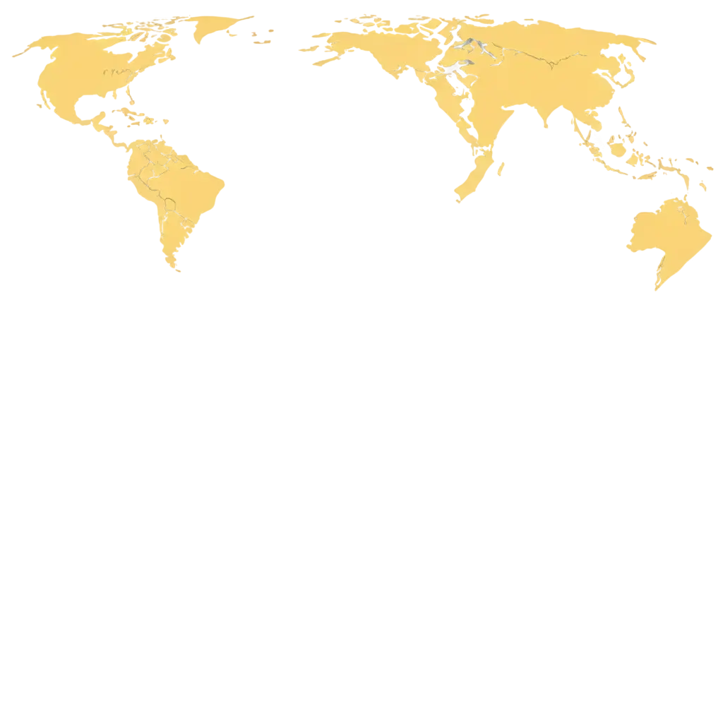
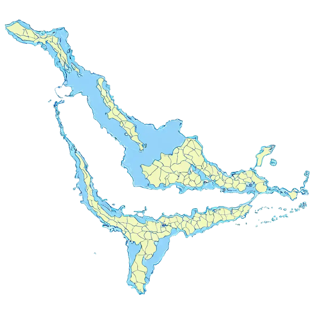
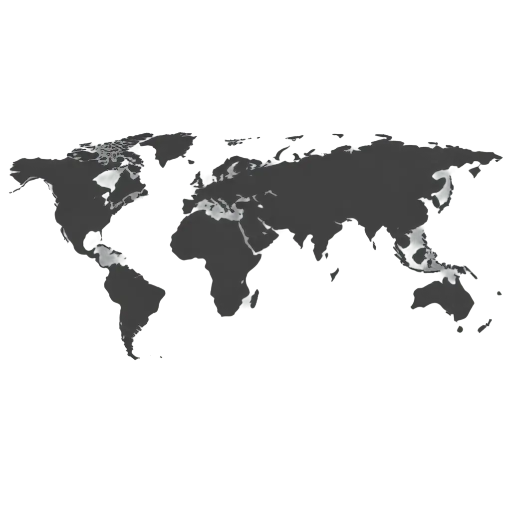
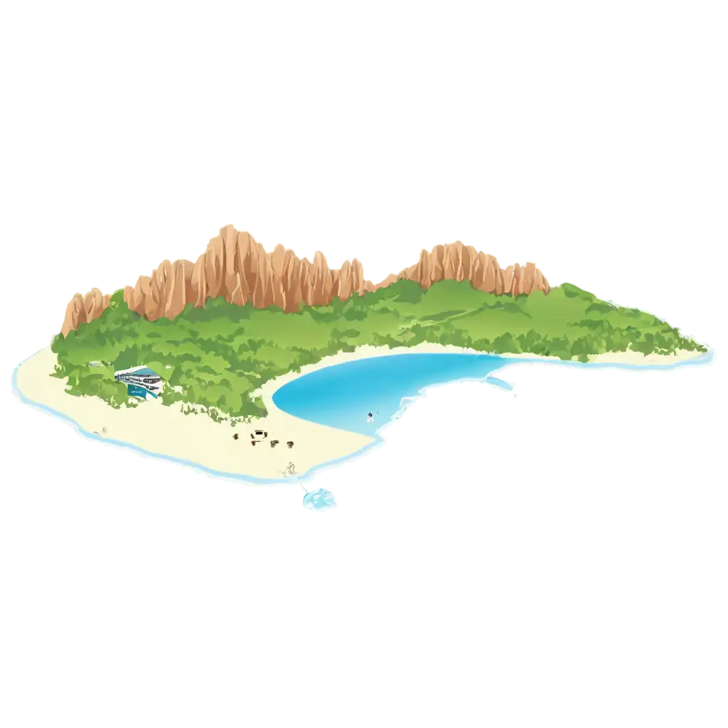
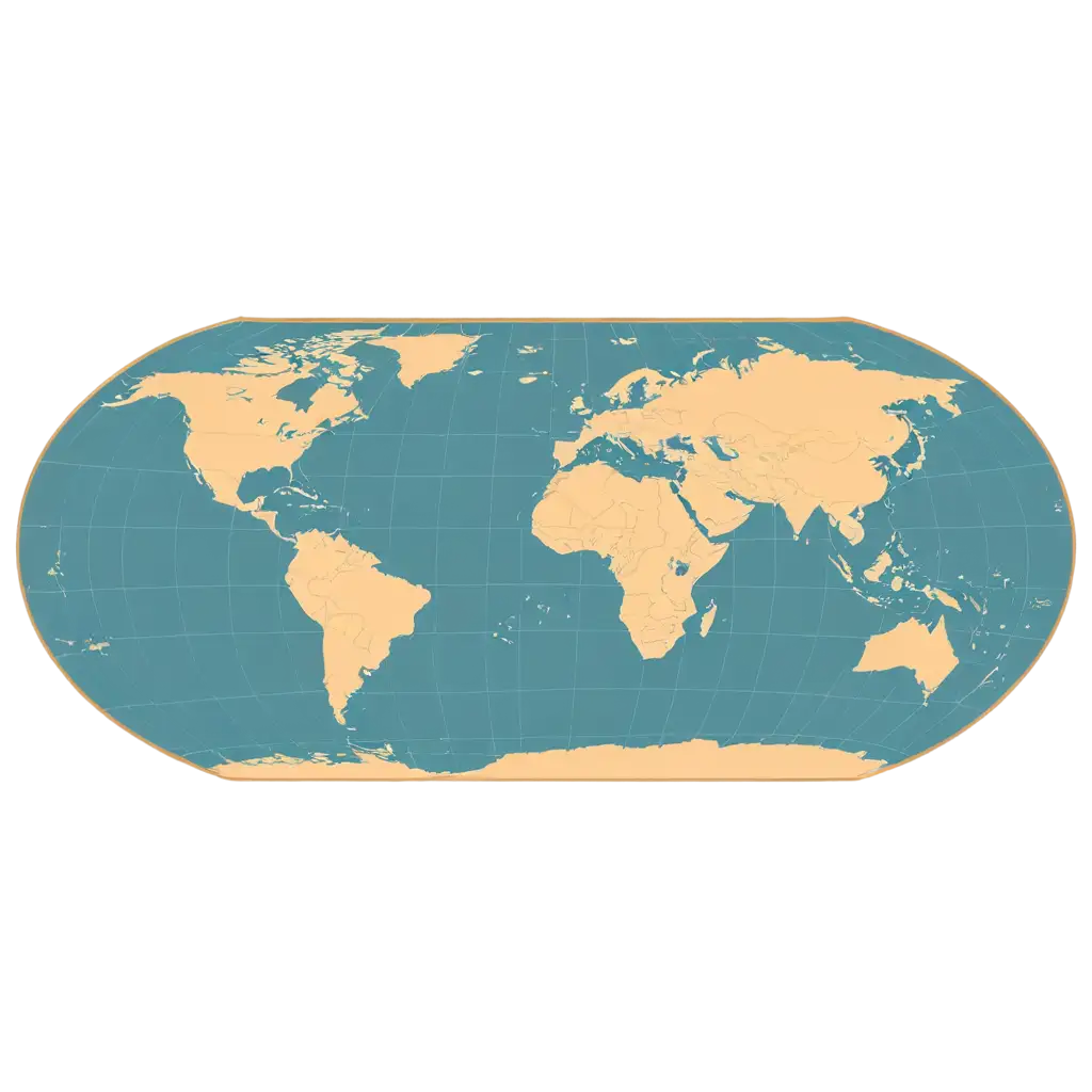
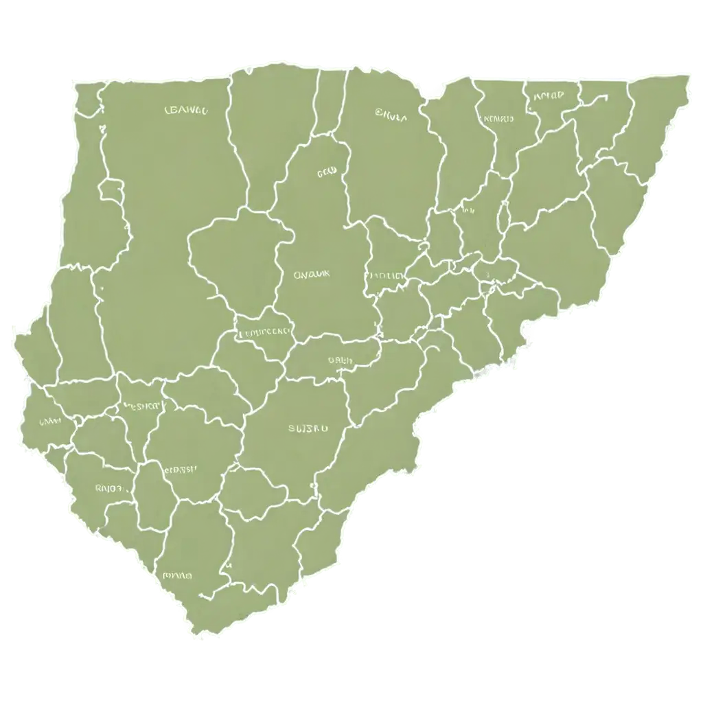
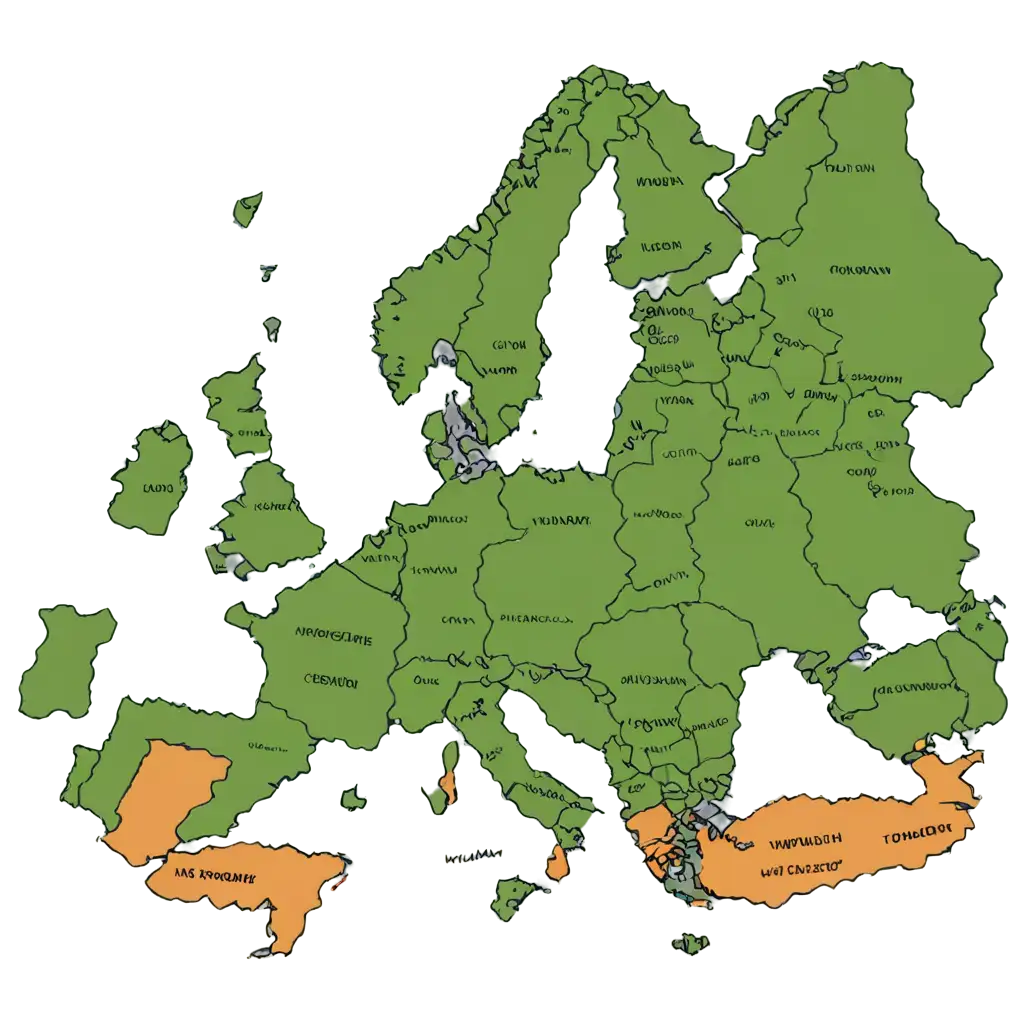
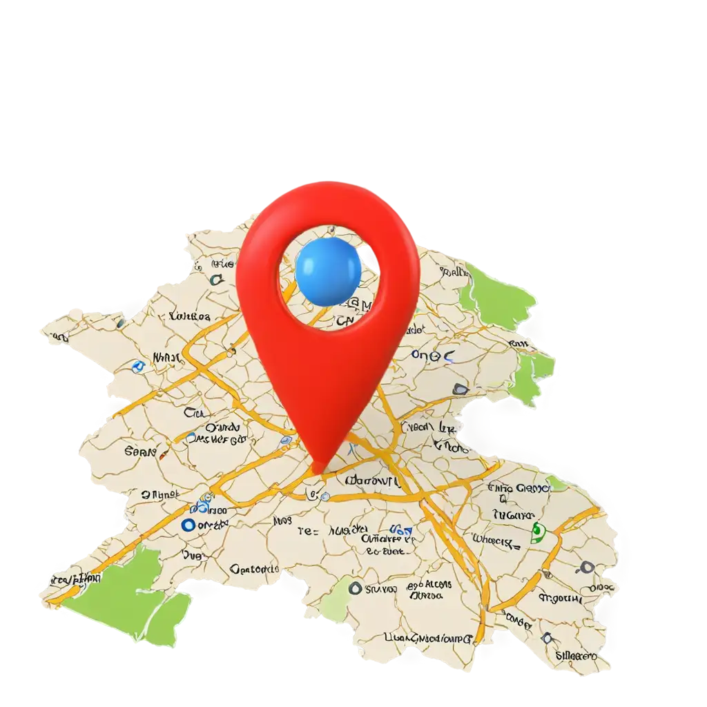
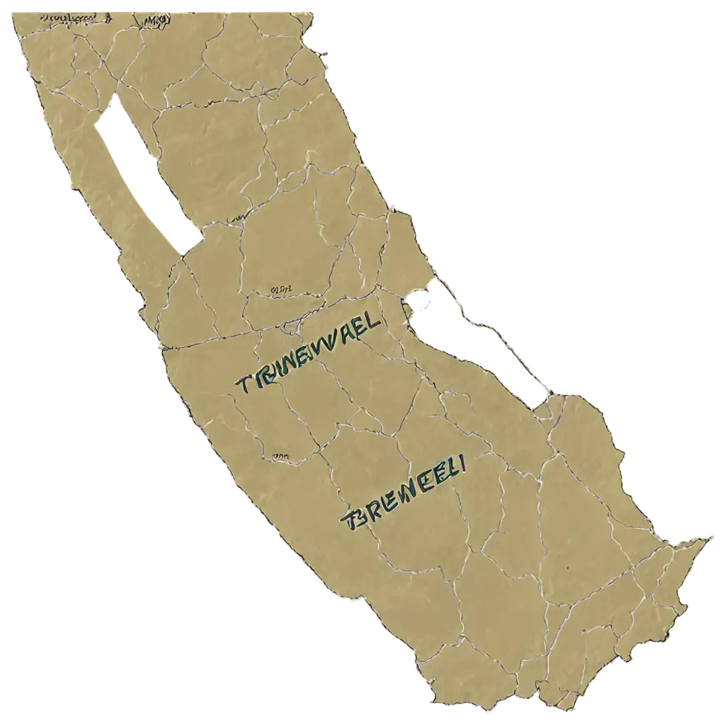
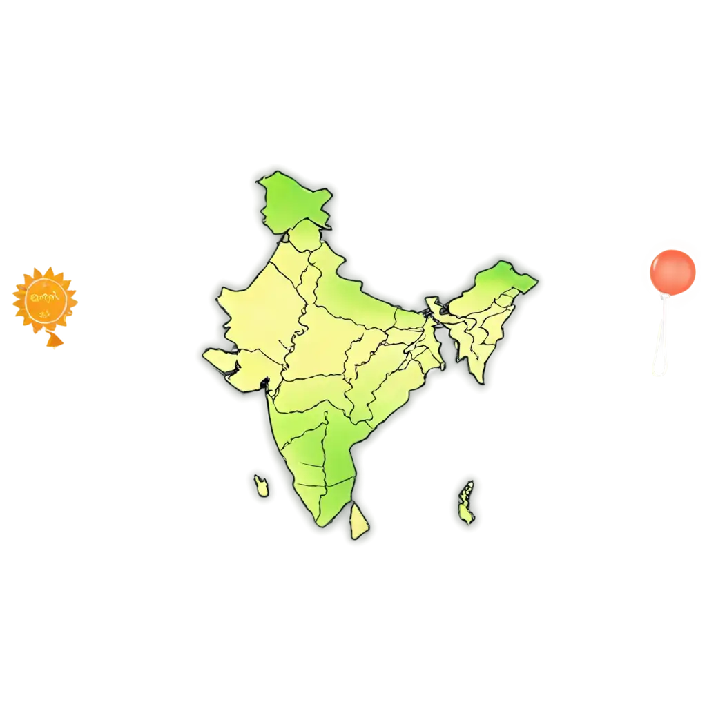
Topographic maps are detailed representations of the Earth's surface, showing natural features like mountains, rivers, and valleys, as well as human-made features such as roads and buildings. They provide both elevation and contour information, making them crucial tools for navigation, urban planning, and environmental research. On our PNG Maker platform, you can find a vast collection of topographic maps in high-resolution, transparent PNG format, ready for you to use in any project. Whether you're creating educational materials, designing maps for websites, or need visual references for geographical studies, these PNG images are a versatile and practical resource.
What Are Topographic Maps and How Can They Be Used?
Using transparent PNG images for topographic maps offers numerous advantages. The transparent background allows you to overlay these maps on any background without worrying about white or colored borders interfering with your design. Whether you're working on a website, presentation, or any creative project, these transparent PNGs seamlessly blend with different design elements. The high-resolution nature of these images ensures that even when scaled up, the clarity and detail of the map remain intact. Plus, with over 13 topographic map options, you can easily find the map that best suits your needs or even customize one using the 'open in editor' feature.
Benefits of Using Transparent PNG Topographic Maps
Downloading topographic maps in PNG format from our collection is simple and quick. Once you find the map you're interested in, just click on the download button to receive a high-resolution image ready to be used in your project. If you need further customization, our platform allows you to click on the 'open in editor' option on the PNG image detail page. This feature lets you tweak the map's details or regenerate it to better fit your specific requirements. Whether you need different contour lines, added geographic features, or a more precise scale, our editor provides the flexibility to make your topographic maps as detailed and accurate as you need them.
How to Download and Customize Topographic Map PNGs
PNG Maker stands out as an ideal platform for sourcing topographic map PNG images due to its high-quality, AI-generated content and user-friendly features. Not only can you download over 13 transparent PNG images for free, but our editor gives you the power to customize and regenerate images on demand. This ensures that the topographic map you use in your project is exactly what you envision. Our collection is continually updated, meaning you’ll always have access to the latest map designs and features. Whether you're a graphic designer, educator, or geography professional, PNG Maker offers the tools and flexibility to meet your topographic map needs.
Why Choose PNG Maker for Topographic Map Images?