15 Free Geographic Information transparent PNG images
Welcome to our collection of Geographic Information PNG images, featuring over 15 high-resolution, free-to-download images. This diverse set of images is perfect for a wide range of creative projects, from educational presentations to website design. Each image is available in a transparent PNG format, making it easy to integrate into any project without worrying about background clashes. Additionally, you can click on 'open in editor' on any PNG image detail page to adjust the prompt and regenerate the image to better suit your needs. Whether you're working on a map, a geographical presentation, or a travel blog, our Geographic Information PNG images provide the perfect visual assets.


Related Tags
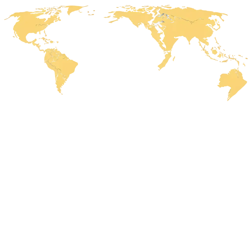
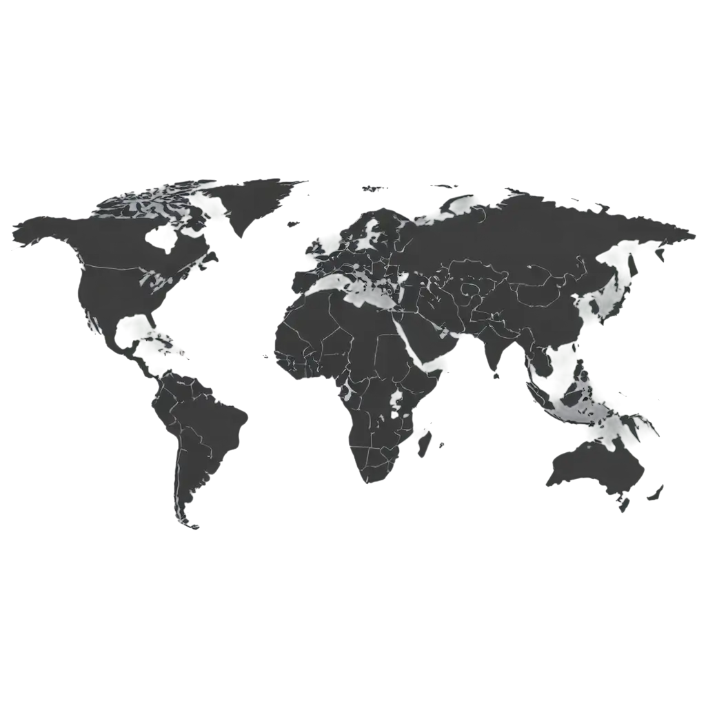
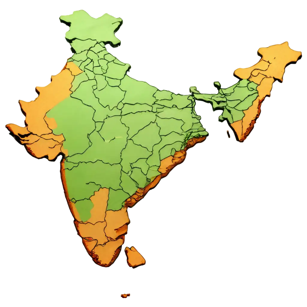
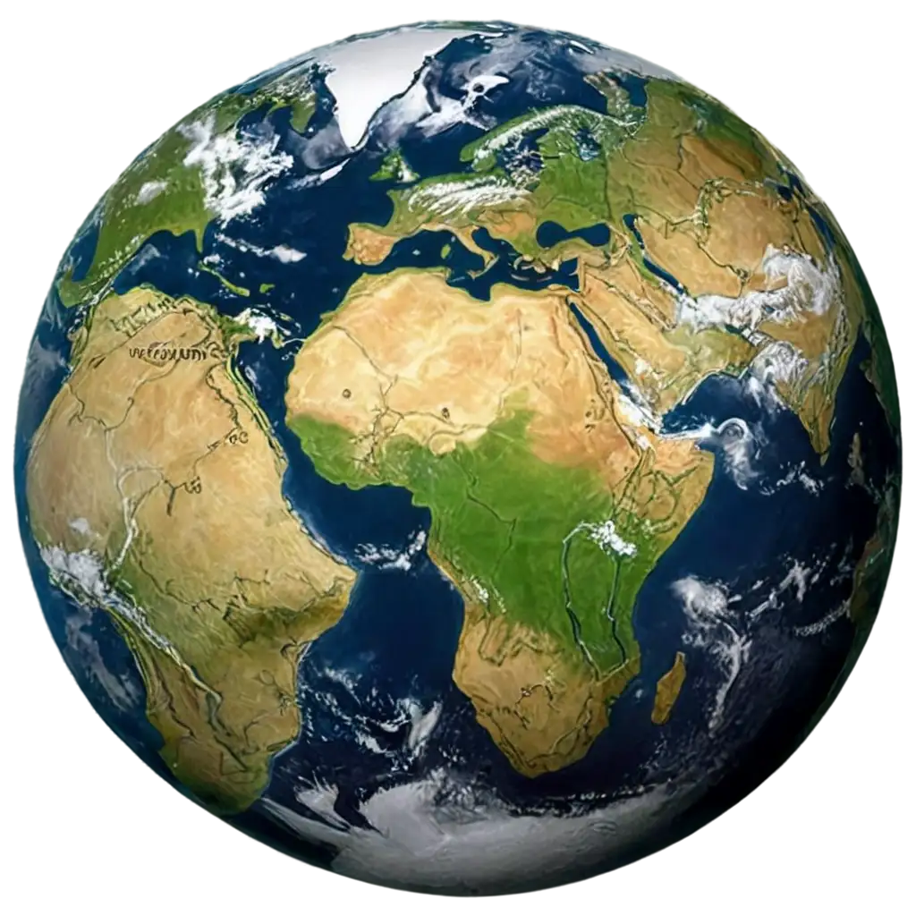
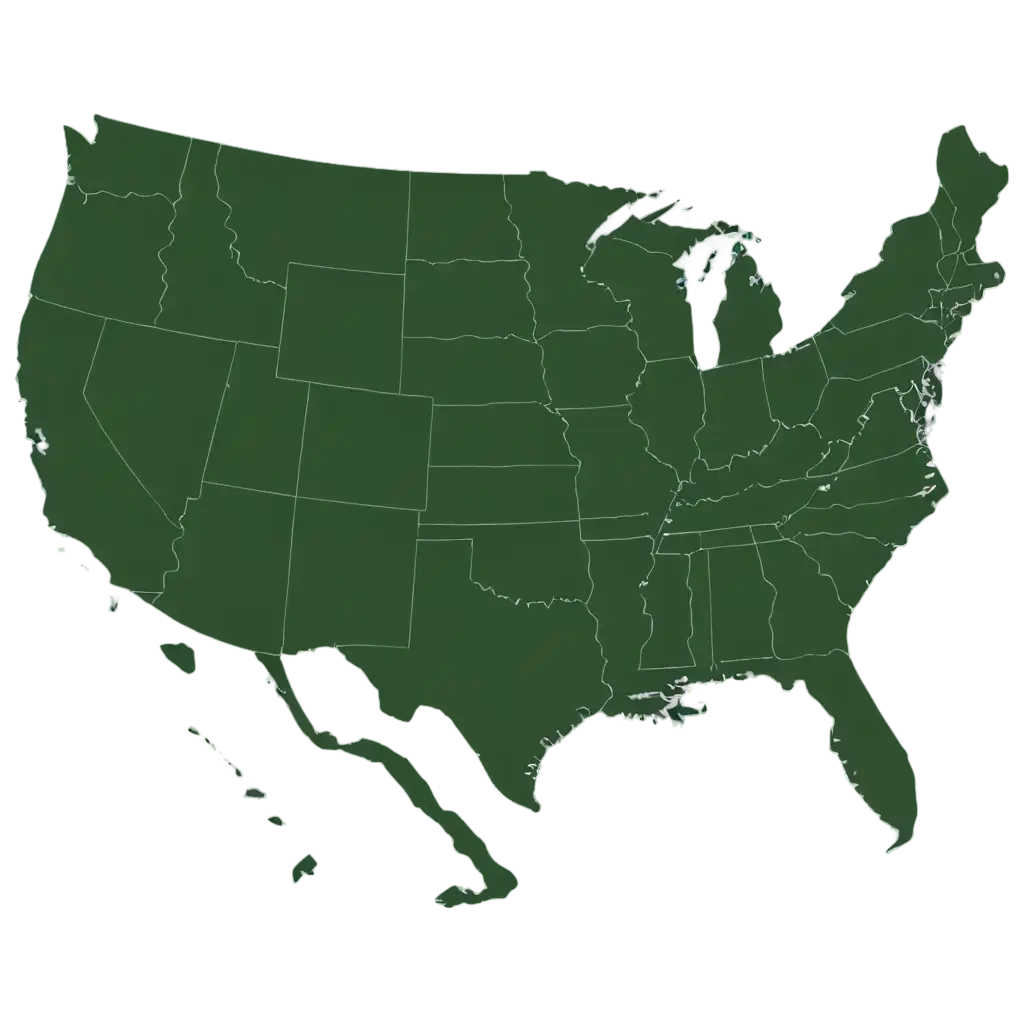
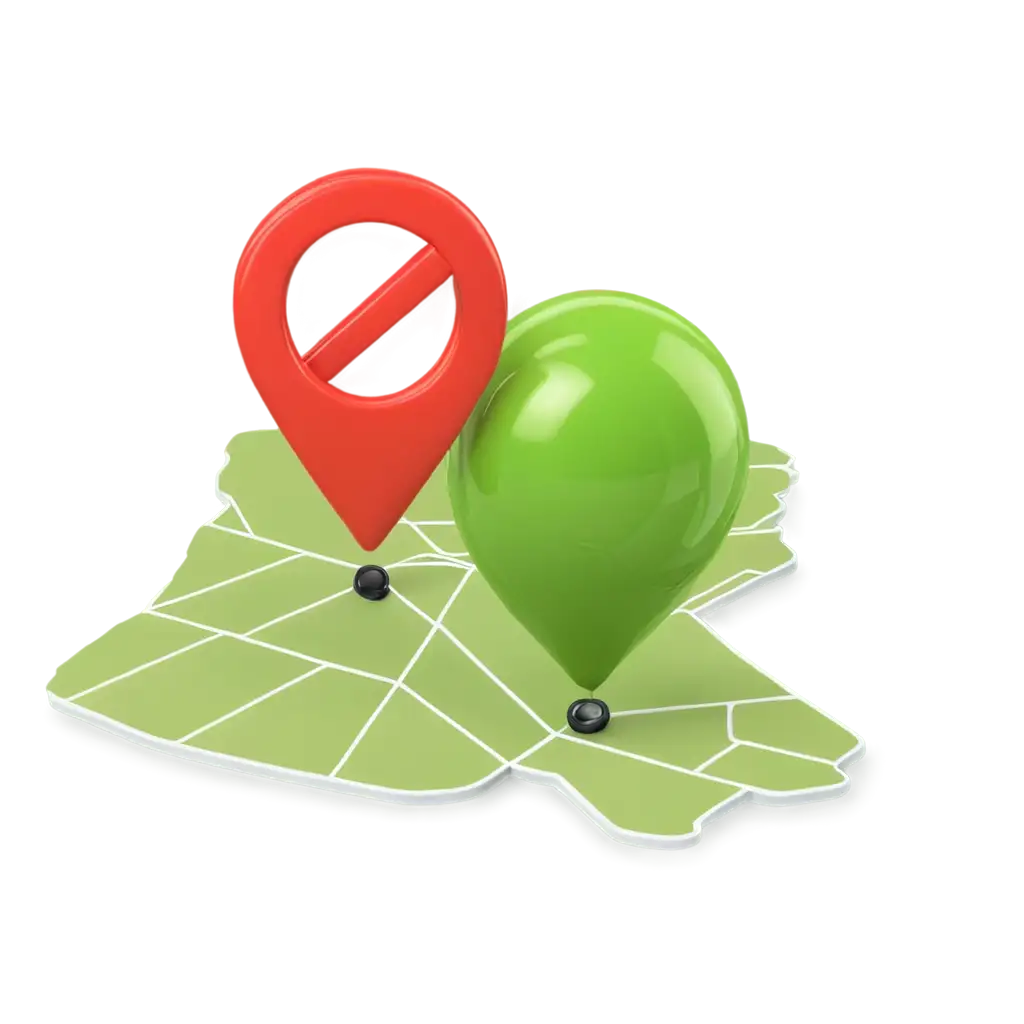
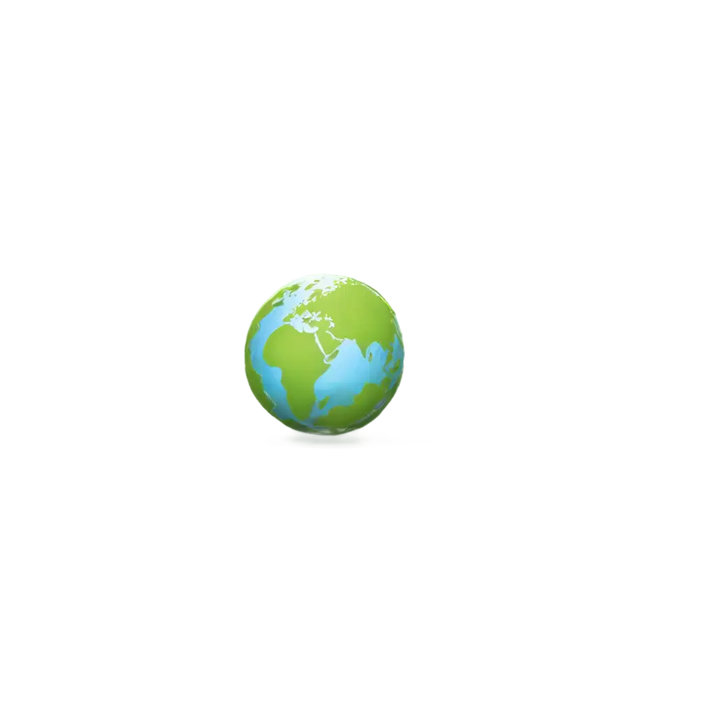
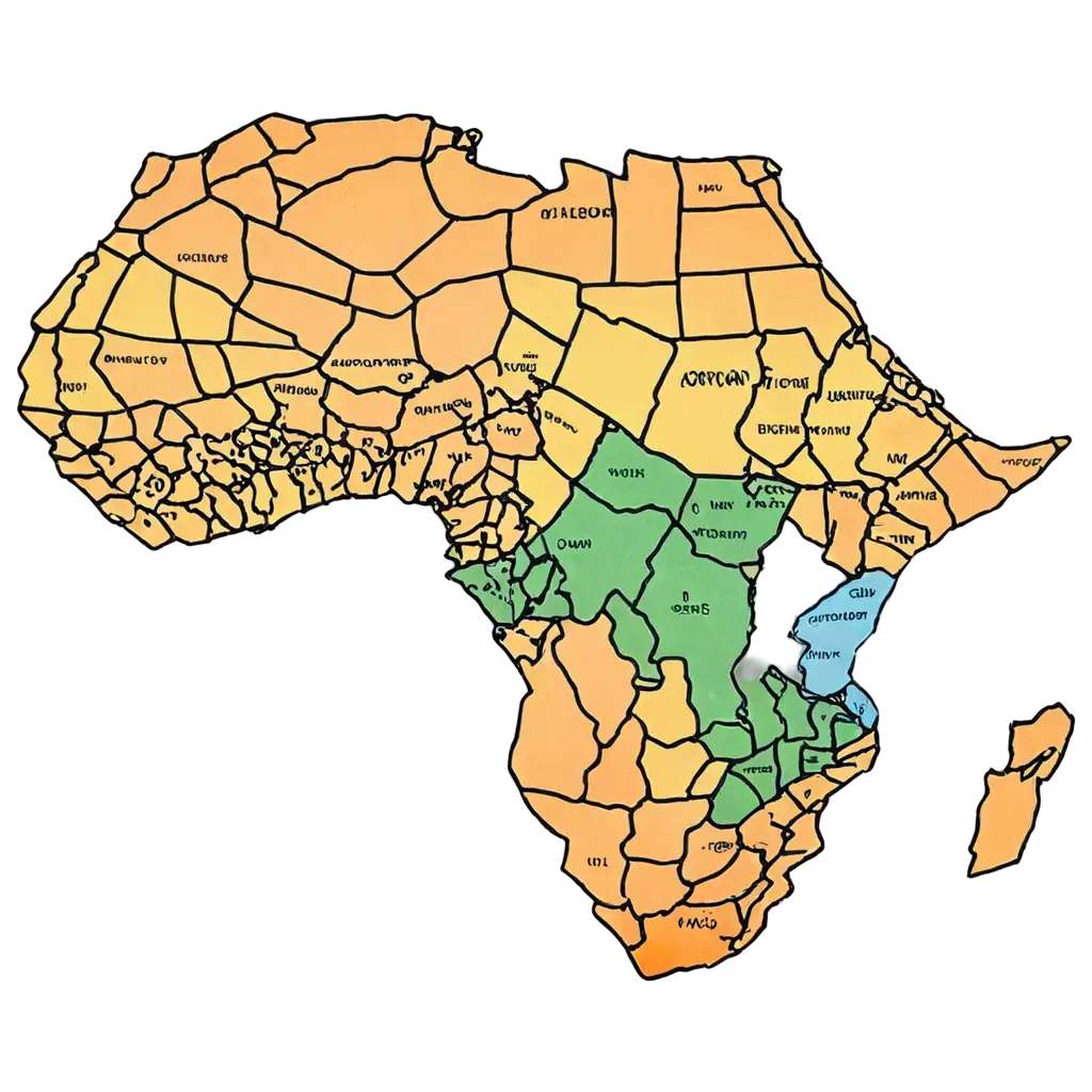
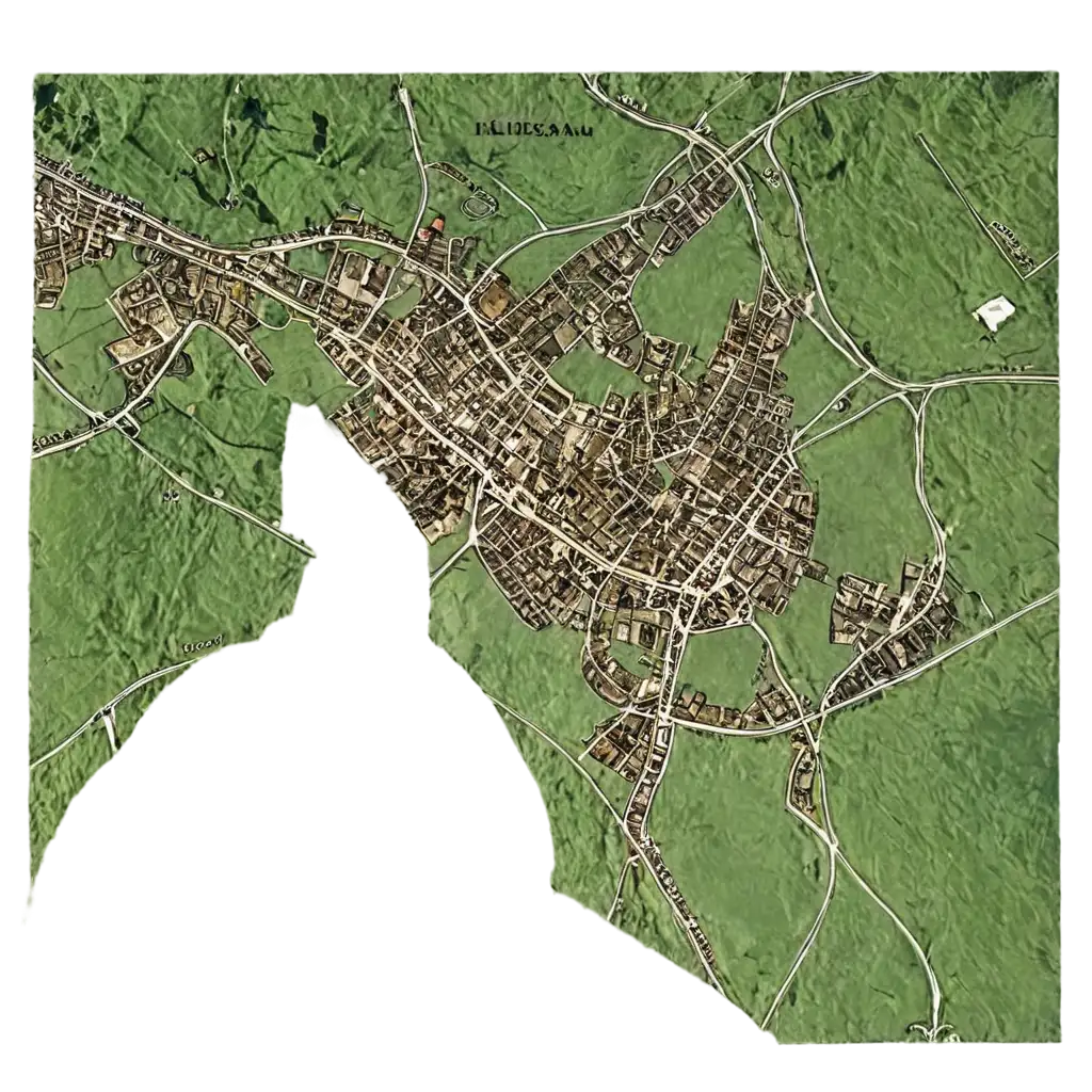
Geographic Information refers to any data or imagery related to locations on Earth, such as maps, terrain models, and satellite imagery. In PNG format, these images retain high detail and quality while offering the benefit of transparency, allowing them to be seamlessly overlaid onto other graphics. This makes PNGs an ideal choice for digital projects where precision and clarity are crucial, such as in cartography, geographic presentations, and spatial data visualization.
Understanding Geographic Information in PNG Format
Transparent PNGs are incredibly versatile for geographic information because they allow the underlying content to be visible without interference from backgrounds. This is particularly useful in layering maps or integrating geographic elements into various digital media. The transparency feature ensures that the images can be placed on any background without worrying about mismatched colors or distracting borders, making them ideal for presentations, educational materials, and web design.
Benefits of Using Transparent PNGs for Geographic Information
At PNG Maker, we offer a unique feature that allows users to click on 'open in editor' on any PNG image detail page. This tool enables you to modify the prompt and regenerate the image to better align with your specific project needs. Whether you need to adjust the color scheme, add specific landmarks, or modify the level of detail, this feature ensures that you can create a custom PNG that fits perfectly within your project. This is especially beneficial for users needing specialized geographic information visuals for detailed presentations or educational resources.
How to Customize Geographic Information PNG Images
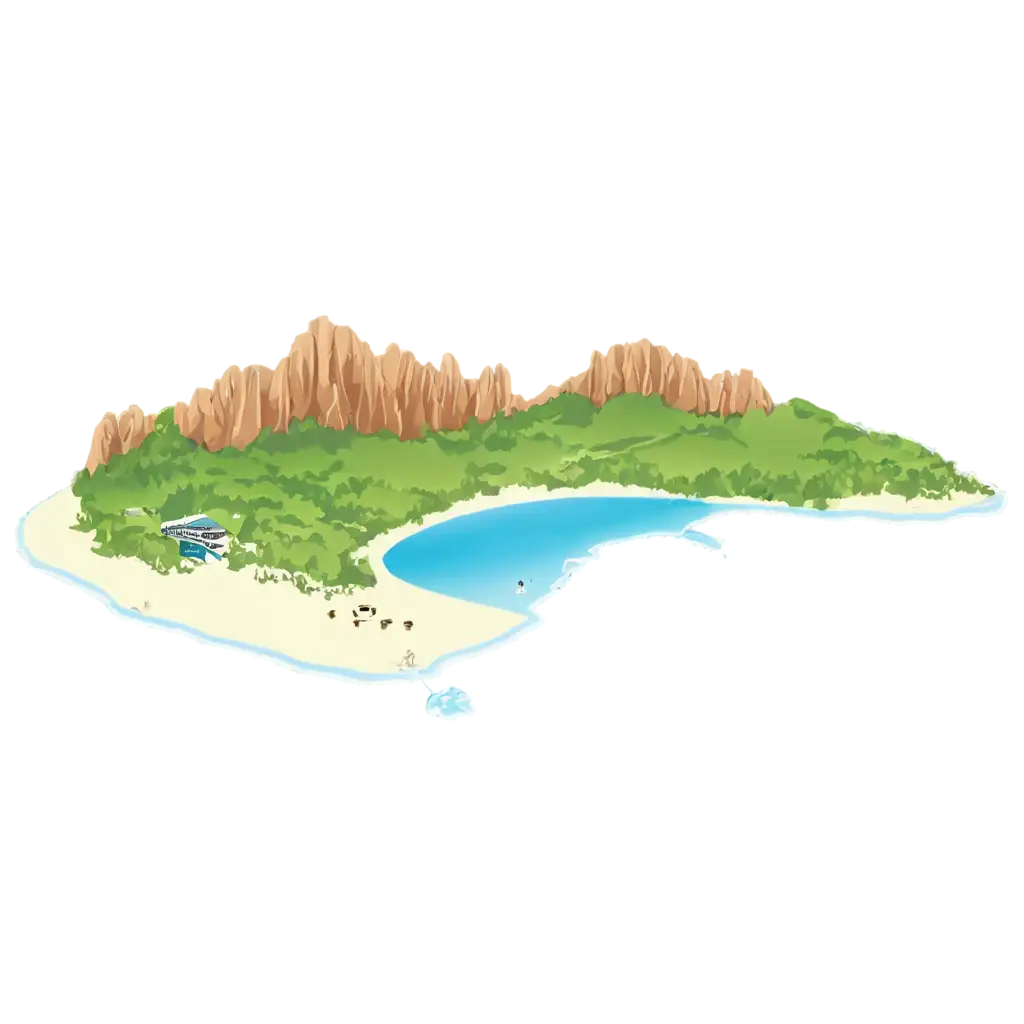
The applications for Geographic Information PNGs are vast. These images are perfect for enhancing educational content, such as geography lessons or environmental studies. They can be used in travel blogs to highlight specific locations, or in data visualization projects where geographic accuracy is essential. Moreover, graphic designers can incorporate these PNGs into brochures, websites, and apps to provide an engaging, informative visual experience. The high resolution and transparency of these images ensure they can be used creatively across multiple platforms without compromising on quality.
Creative Applications for Geographic Information Transparent PNGs