8 Free Global Positioning System transparent PNG images
Welcome to our dedicated page for Global Positioning System PNG images. Here, you will find a collection of over 8 free high-resolution PNG images under the 'Global Positioning System' tag. These images showcase a variety of designs and creative expressions, all available for free download. Each image can be customized further by using the 'open in editor' feature on the PNG detail page, allowing you to adjust the prompt and regenerate the PNG to suit your needs. These versatile PNG images are perfect for projects involving navigation apps, geographic information systems, mapping services, and other location-based applications.

Related Tags
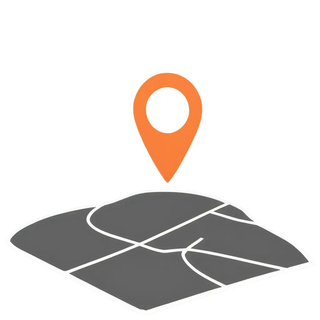
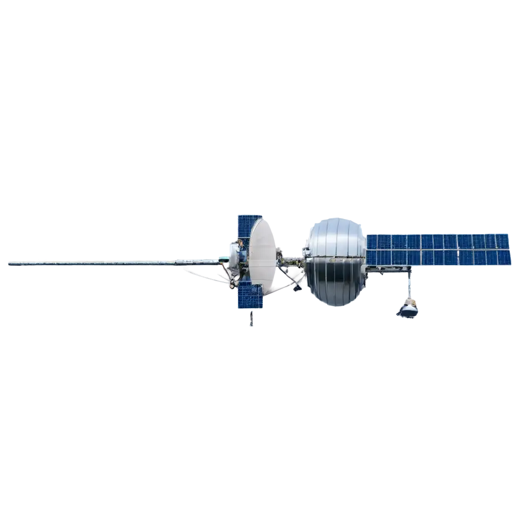
The Global Positioning System (GPS) is a satellite-based navigation system that provides geolocation and time information to a GPS receiver anywhere on or near the Earth. PNG images tagged with 'Global Positioning System' often include icons and illustrations representing GPS satellites, navigation pointers, maps, and location pins. These images are useful for various digital projects such as app development, website design, and educational materials. Utilizing these PNG images can enhance the visual appeal and functionality of location-based services and tools.
Understanding Global Positioning System (GPS) PNG Images
Transparent PNG images are particularly advantageous for GPS-related projects due to their flexibility and ease of integration. The transparent background allows these images to be placed over any type of content without any visible edges or backgrounds interfering with the overall design. This makes them ideal for overlays on maps, user interfaces in navigation apps, and other applications where seamless integration is crucial. Moreover, the high resolution of these PNGs ensures that they remain clear and professional-looking, even when resized or viewed on high-definition screens.
Benefits of Using Transparent PNG Images for GPS-related Projects
PNG Maker offers a user-friendly 'open in editor' feature that allows you to customize GPS PNG images to better fit your project needs. By clicking on this feature, you can adjust the image's prompt and regenerate it according to your specifications. This customization option is perfect for tailoring images to match your brand's color scheme, adding specific details relevant to your project, or creating a unique visual style. Whether you're designing an app interface, a website, or an educational graphic, PNG Maker's tools make it easy to create the perfect image.
How to Customize GPS PNG Images Using PNG Maker
GPS PNG images are widely used across various industries due to their versatility and high quality. In the technology and app development sectors, these images are crucial for creating intuitive and visually appealing navigation systems. In the field of education, they help illustrate concepts related to geography, navigation, and satellite technology. Businesses can use these images in marketing materials to highlight location-based services, while graphic designers can incorporate them into maps and infographics. The availability of diverse, high-resolution GPS PNG images makes them a valuable resource for many professional applications.
Applications of GPS PNG Images in Various Industries