15 Free Urban Planning Photos transparent PNG images
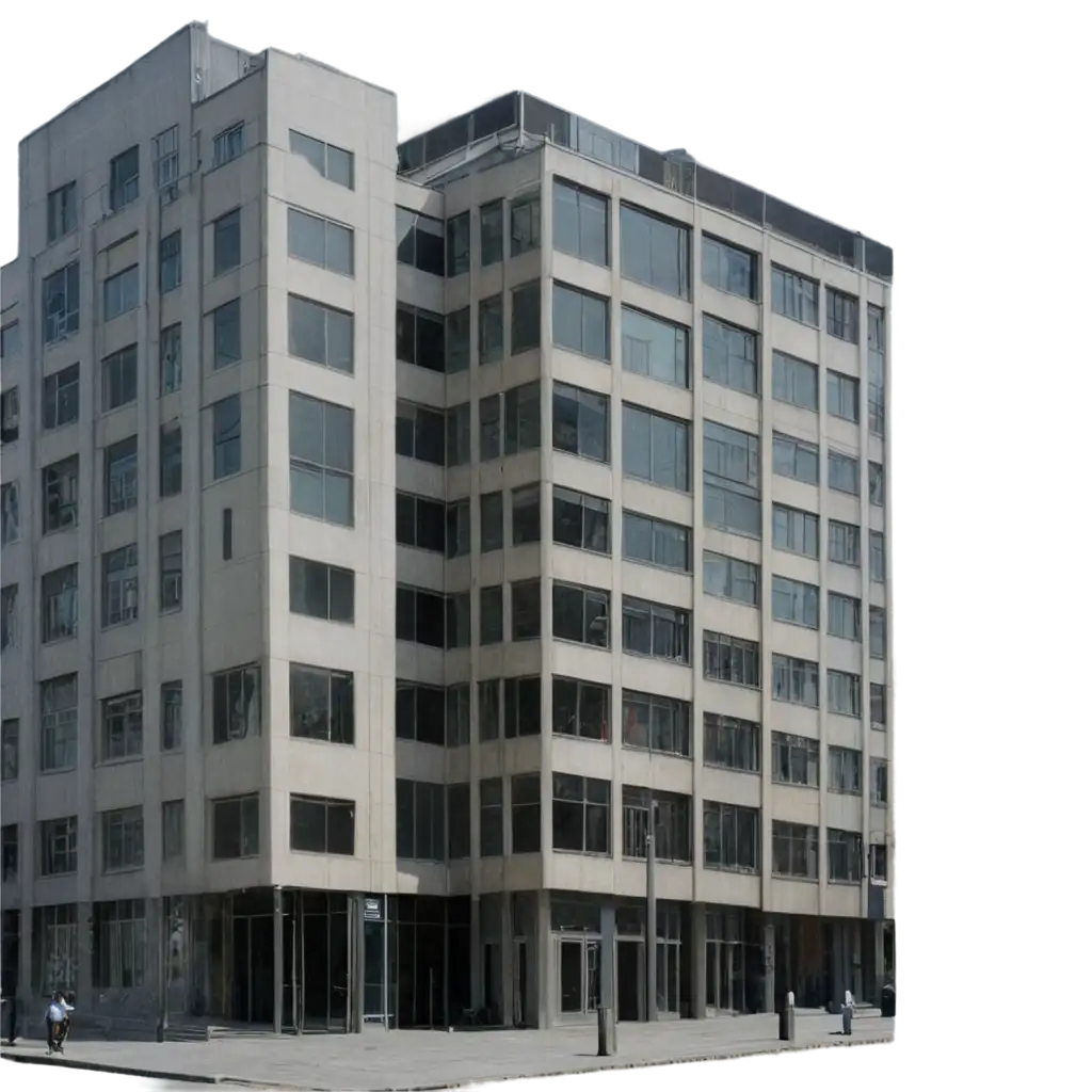
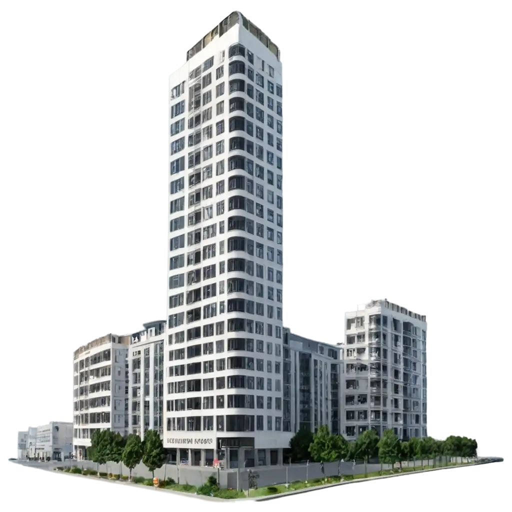
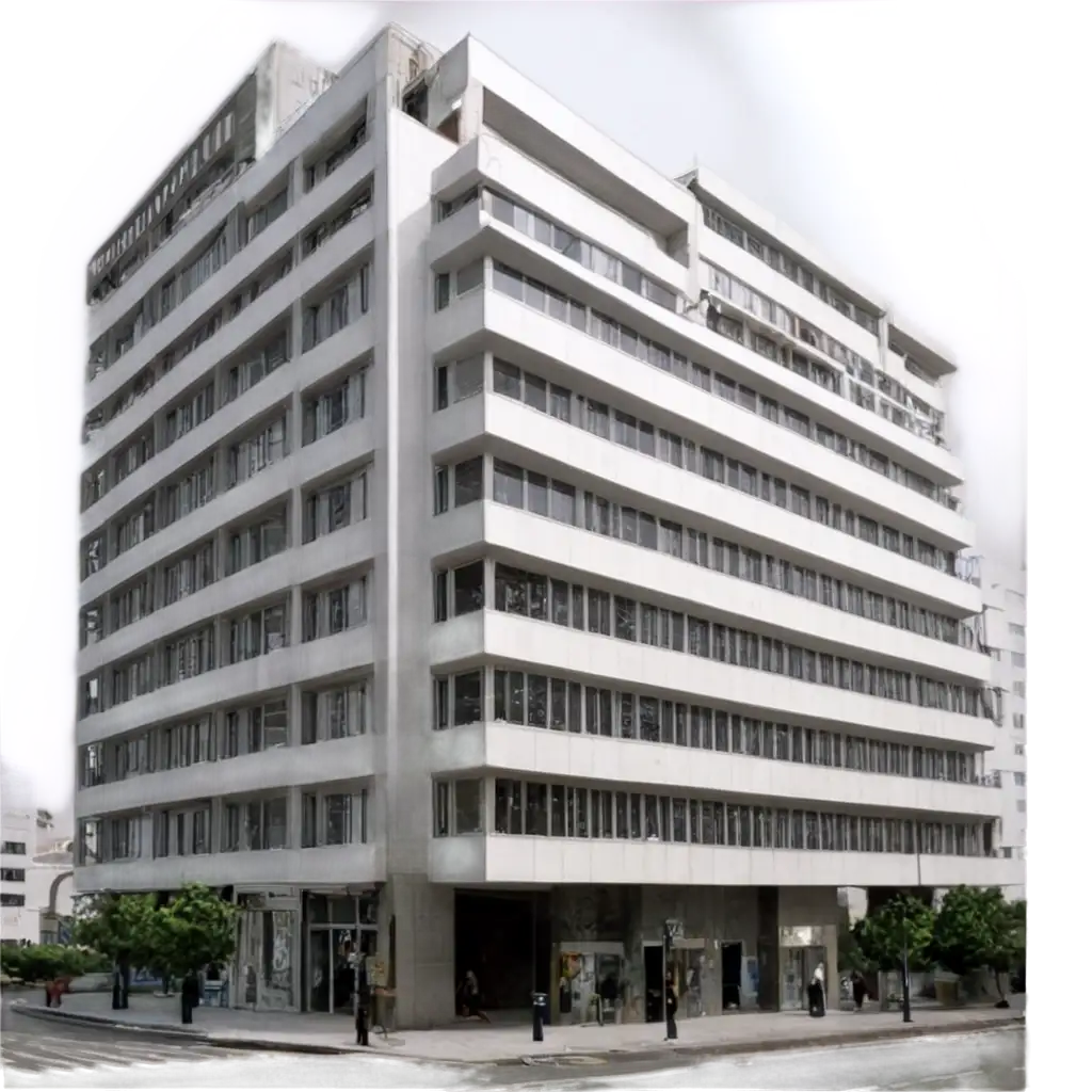
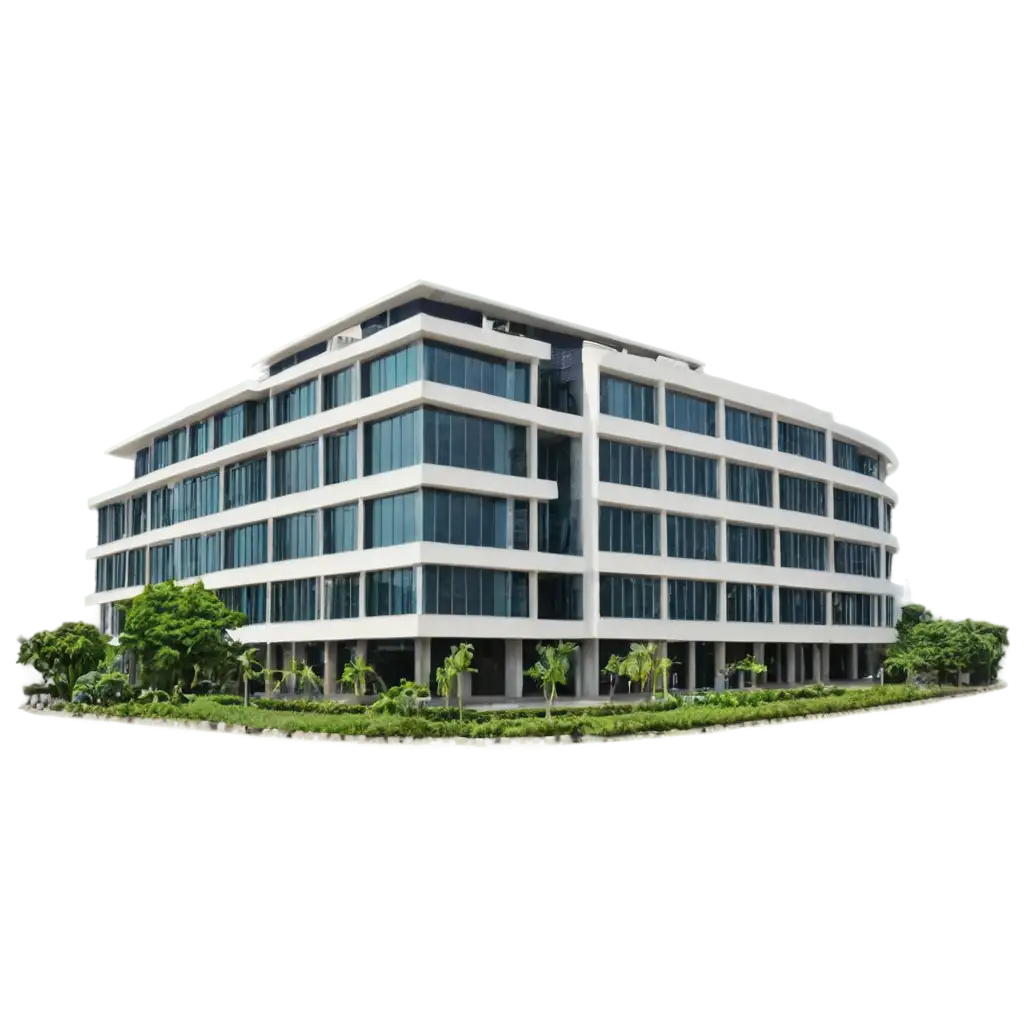
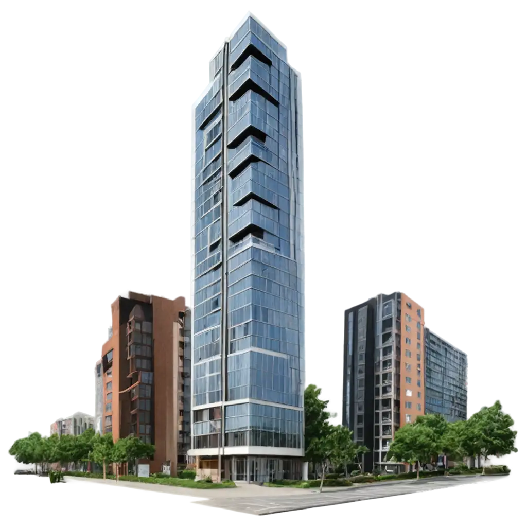
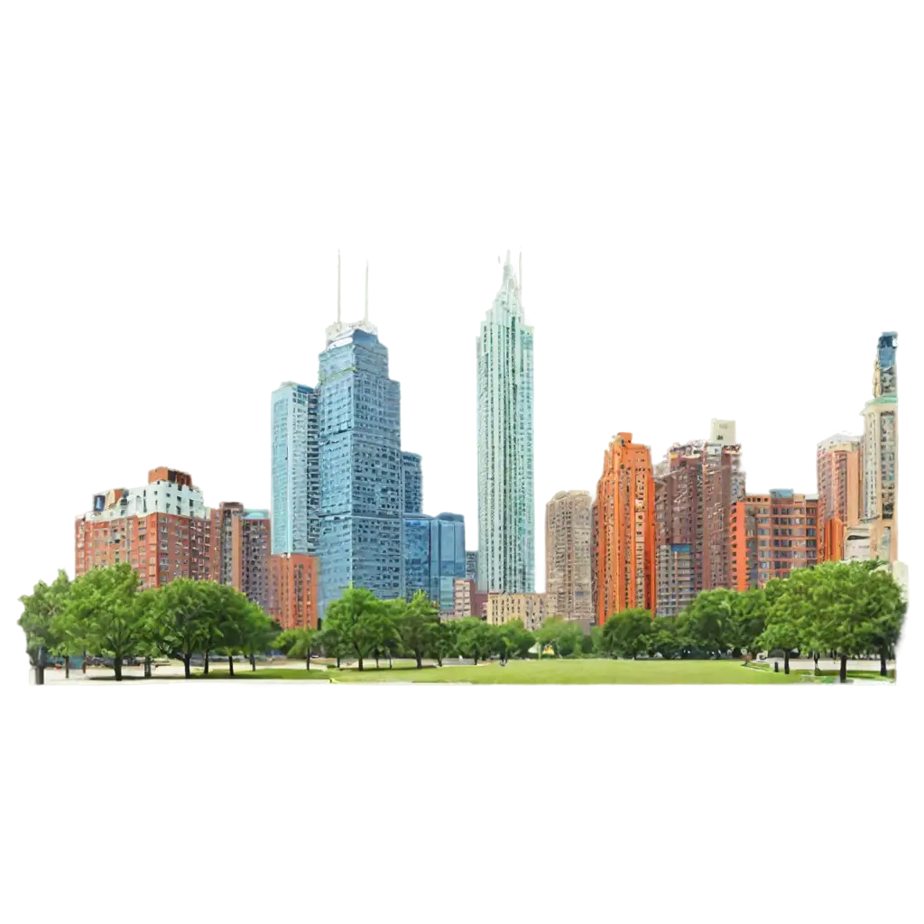
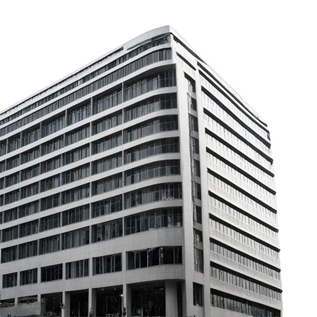
Explore our curated collection of Urban Planning Photos, featuring 15 free AI-generated images that showcase the future of city design and development. This diverse gallery includes high-quality stock photos, detailed 3D objects, versatile vectors, and innovative illustrations capturing urban landscapes, infrastructure, and sustainable city solutions. Each image is available for high-resolution download, and our unique 'open in editor' feature allows you to customize the prompt to regenerate variations that perfectly match your vision.

Related Tags
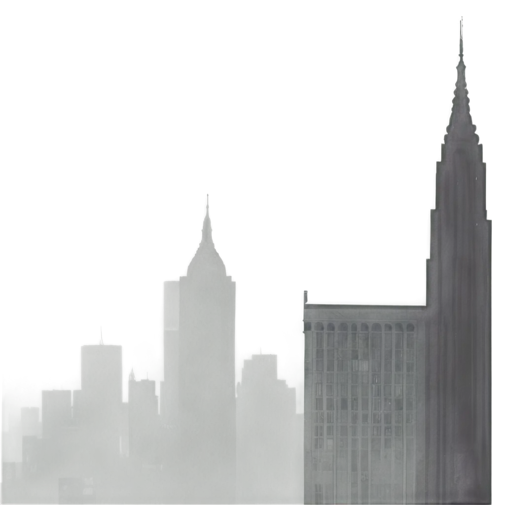
Urban planning visualization has undergone a remarkable transformation with the advent of AI technology. Traditional methods relied heavily on hand-drawn sketches and physical models, but today's AI-generated images offer unprecedented flexibility and detail in representing urban spaces. These visualizations help stakeholders understand complex urban development concepts through photorealistic renderings of proposed developments, traffic flow simulations, and environmental impact assessments. The integration of AI has democratized urban planning visualization, making it more accessible and adaptable for various stakeholders, from city officials to community members.
Urban Planning Visualization: From Traditional to AI-Generated Imagery
AI-generated urban planning images serve multiple crucial purposes in modern city development. They're extensively used in public presentations and community engagement, helping residents visualize proposed changes to their neighborhoods. These images are valuable tools for environmental impact studies, showing how new developments might affect sunlight, shadows, and green spaces. In professional settings, they're used for zoning presentations, traffic flow analysis, and demonstrating sustainable urban solutions. The ability to quickly generate multiple iterations of designs helps planners explore various scenarios and optimize urban spaces for functionality, aesthetics, and sustainability.
Applications of AI-Generated Urban Planning Images
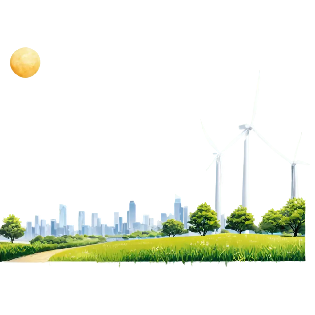
AI-generated images are revolutionizing how we envision sustainable urban development. These visualizations help illustrate green infrastructure solutions, from vertical gardens and solar panel integration to smart transportation systems and water management solutions. They provide detailed representations of eco-friendly urban features such as bike lanes, pedestrian zones, and green corridors, helping planners and communities understand how sustainable elements can be integrated into existing city landscapes. The ability to visualize different sustainability scenarios helps stakeholders make informed decisions about implementing environmentally conscious urban design solutions.
Sustainable City Design Through AI Visualization
The future of urban planning visualization is evolving rapidly with advancements in AI technology. Emerging trends include real-time rendering capabilities that allow instant modifications to urban designs, integration with augmented reality for immersive visualization experiences, and the incorporation of big data to create more accurate and context-aware urban simulations. AI-generated images are becoming increasingly sophisticated in representing complex urban systems, including smart city infrastructure, climate resilience measures, and adaptive urban spaces. These technological advances are making urban planning more collaborative, efficient, and responsive to community needs.
Future Trends in Urban Planning Visualization