11 Free Satellite Photos transparent PNG images
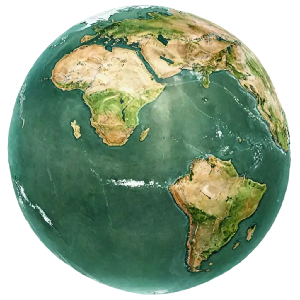
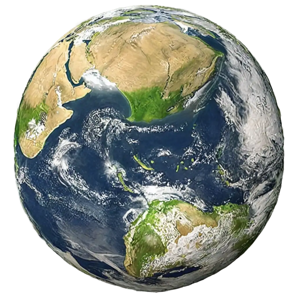
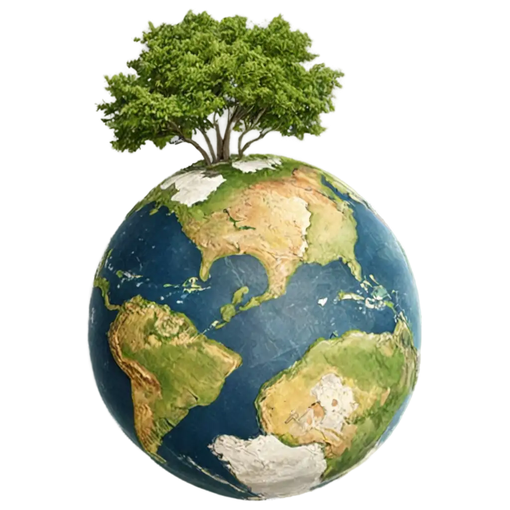
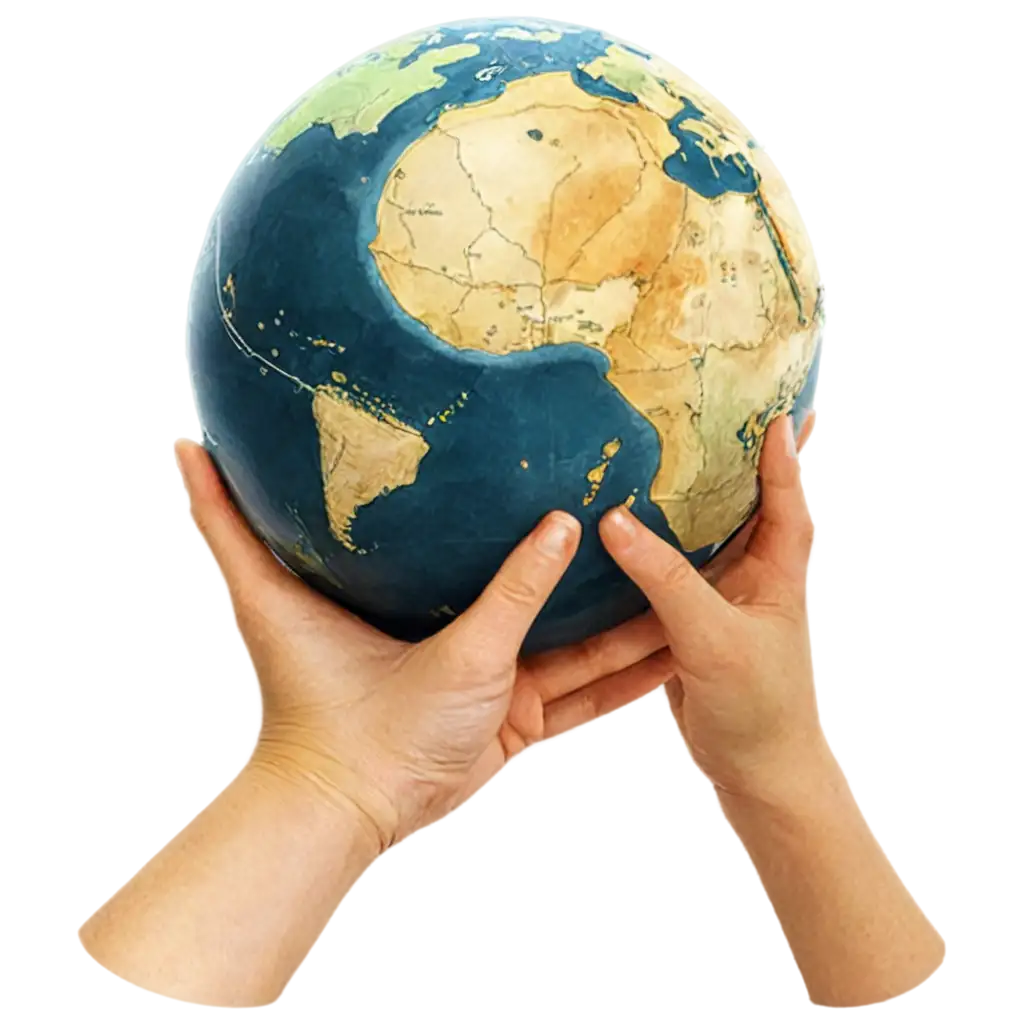
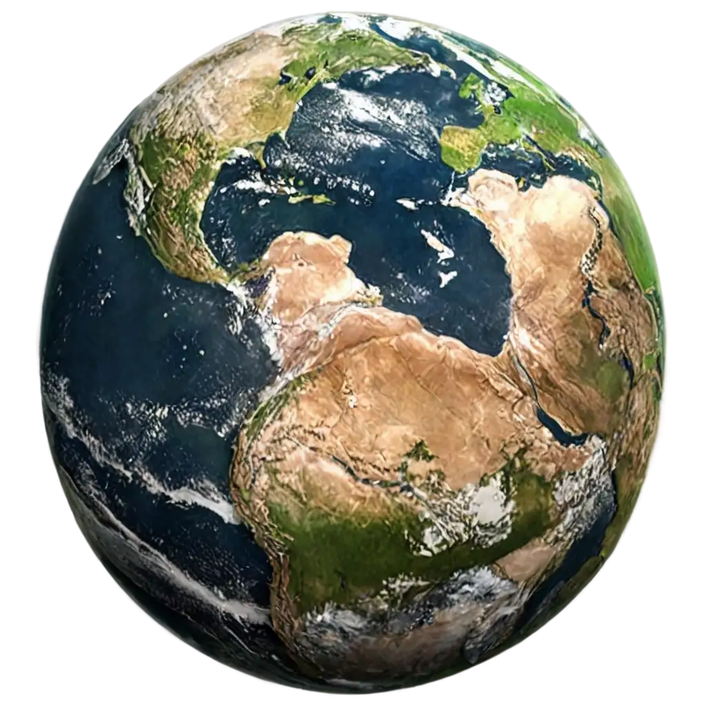
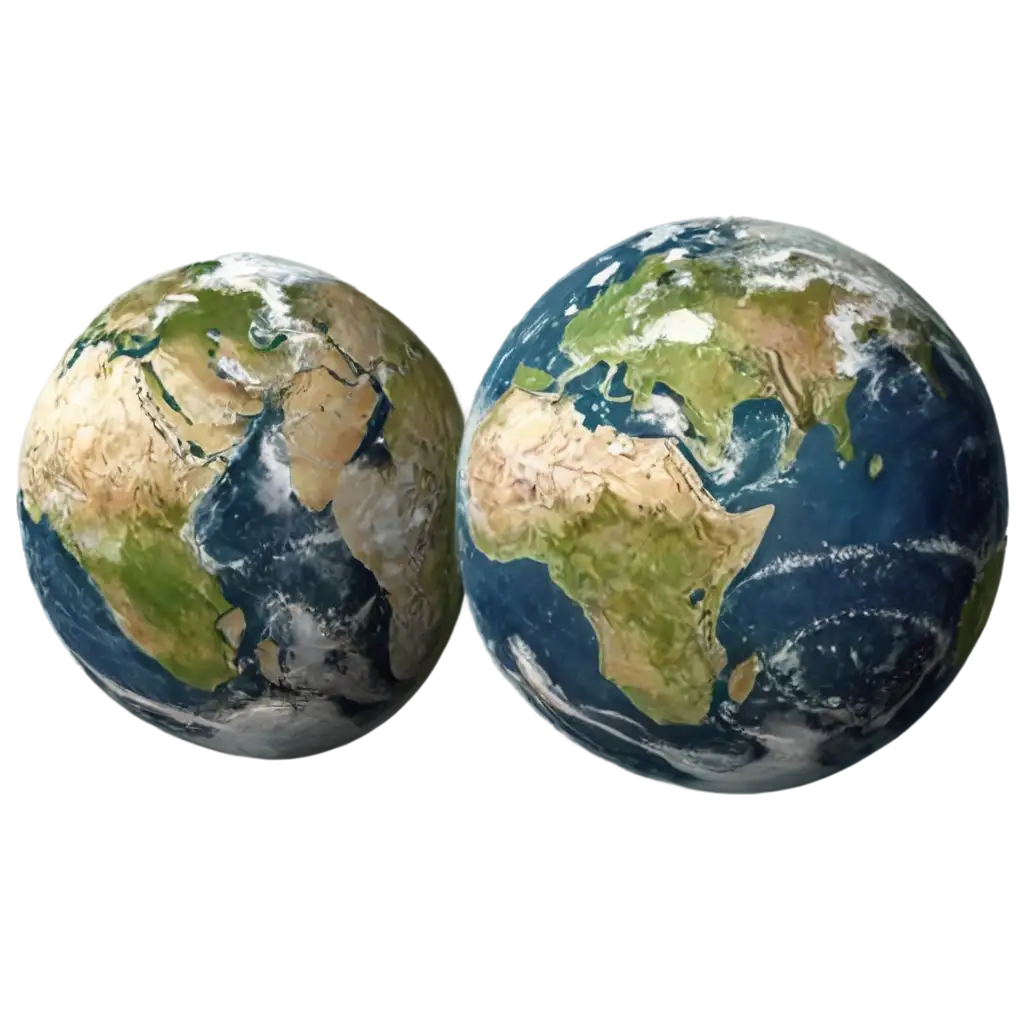
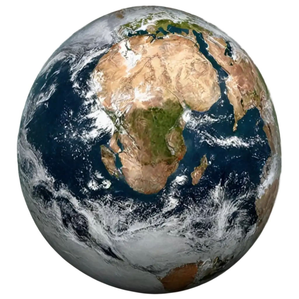
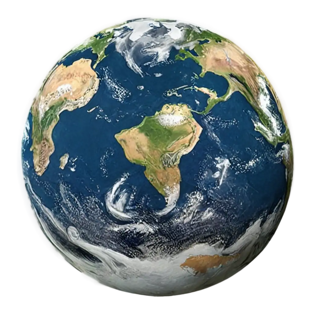
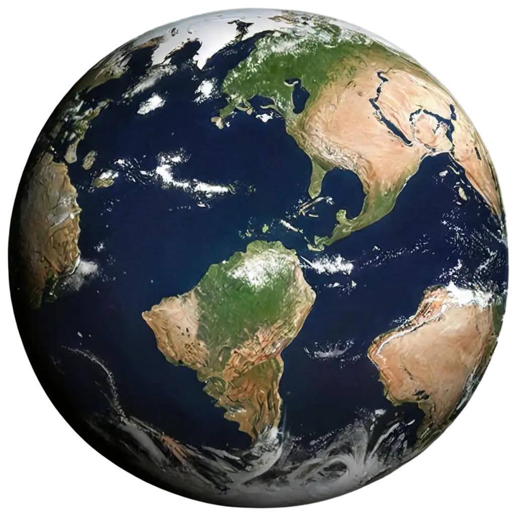
Explore our curated collection of 11 free AI-generated Satellite Photos, offering a unique perspective of Earth from above. Our diverse gallery includes high-resolution stock photos, 3D renderings, vector illustrations, and artistic interpretations of satellite imagery. Each image is available for free download in high resolution, and with our innovative 'open in editor' feature, you can modify the AI prompts to generate variations that perfectly match your vision.
Related Tags
AI-generated satellite photos represent a revolutionary advancement in Earth observation visualization. These images combine the precision of traditional satellite photography with AI's ability to enhance, reconstruct, and visualize data. Common types include true-color composites mimicking natural Earth tones, false-color imagery highlighting specific features like vegetation or urban development, and night-time illumination maps showing human activity patterns. These AI-generated images serve crucial roles in urban planning, environmental monitoring, disaster response, and educational materials, offering clear, accessible visualizations of complex geographical data.
Understanding AI-Generated Satellite Imagery: Types and Applications
The creation of AI satellite imagery involves sophisticated deep learning models trained on vast datasets of actual satellite data. These systems can generate images at various scales, from city-block detail to continental views, by understanding patterns in topography, urban development, and natural features. Key technical aspects include proper coordinate systems, atmospheric correction simulation, and accurate representation of seasonal variations. Advanced AI models can even generate hypothetical views of how areas might look under different conditions or development scenarios, making them valuable tools for climate change visualization and urban planning studies.
Technical Aspects of Creating AI Satellite Photography
The field of AI-generated satellite imagery is rapidly evolving, with emerging trends focusing on higher resolution outputs, more accurate environmental feature representation, and real-time updating capabilities. Future developments are expected to include improved integration of multiple data sources, better temporal consistency in generated images, and more sophisticated handling of weather patterns and atmospheric effects. The technology is moving towards generating images that can simulate future scenarios, such as urban growth patterns or climate change impacts, making it an invaluable tool for long-term planning and environmental impact assessment.
Evolution and Future Trends in AI Satellite Imaging
AI-generated satellite imagery has revolutionized how we interact with geographic information systems (GIS) and Earth science data. These images bridge the gap between complex scientific data and accessible visual information, making satellite data more interpretable for non-specialists. The technology has enabled new applications in fields ranging from precision agriculture to urban heat island studies. Educational institutions increasingly use AI-generated satellite imagery to teach concepts in geography, environmental science, and urban studies, while businesses leverage these tools for location intelligence and market analysis. The democratization of satellite imagery through AI generation has sparked new approaches to environmental monitoring and spatial analysis.
Impact on Modern Geographic Information Systems and Earth Science