6 Free Satellite Images transparent PNG images
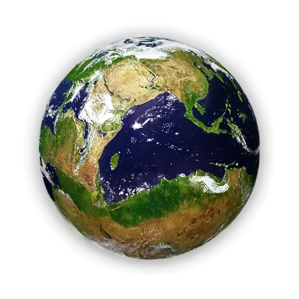
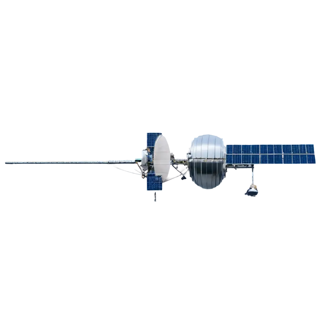
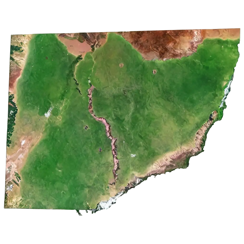
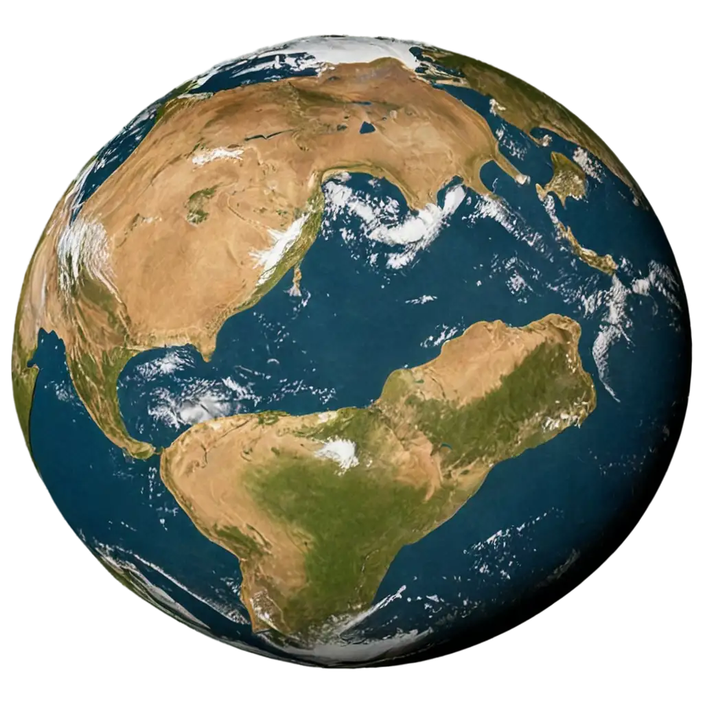
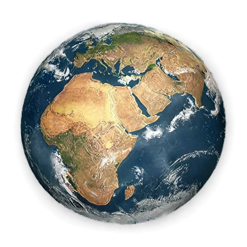
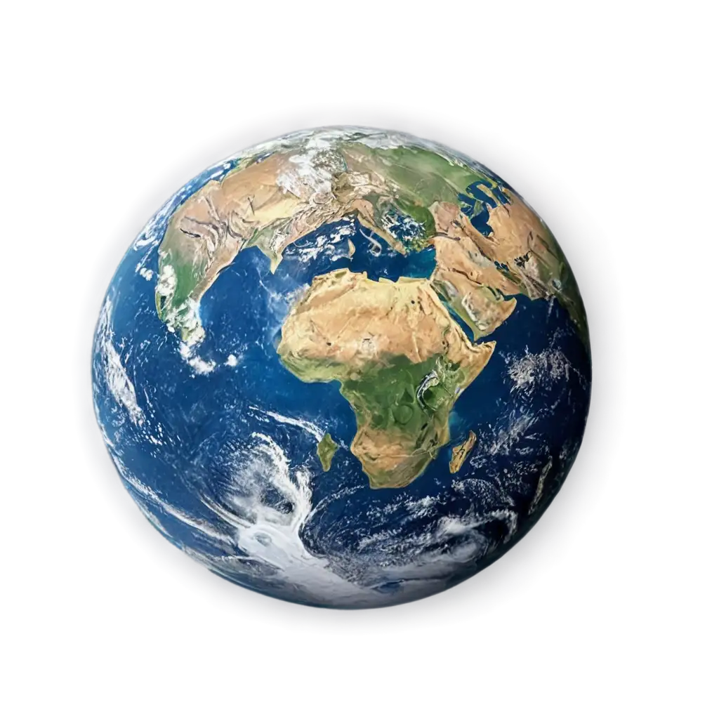
Explore our extensive collection of 6 free AI-generated Satellite Images, offering a unique perspective of Earth from above. Our diverse gallery includes high-resolution stock photos, detailed 3D renderings, precise vector illustrations, and artistic interpretations of satellite imagery. Each image is available for free download in high resolution, and our innovative 'open in editor' feature allows you to modify the AI prompt to regenerate variations that match your specific needs.
Related Tags
Satellite imagery represents Earth's surface captured from space-based platforms, traditionally requiring complex optical and radar systems. Modern AI technology has revolutionized this field by enabling the generation of realistic satellite views based on geographical data and mapping information. These AI-generated images can simulate various types of satellite data, including visible light, infrared, and multispectral imaging. The technology can accurately replicate features such as urban developments, agricultural patterns, geological formations, and weather systems, making these images valuable for visualization and planning purposes without the need for actual satellite data acquisition.
Understanding Satellite Imagery: From Raw Data to AI Generation
AI-generated satellite imagery serves numerous practical applications across different sectors. In urban planning, these images help visualize development scenarios and assess environmental impact. Real estate professionals use them for property visualization and location analysis. Environmental scientists utilize these images to study climate change patterns and ecosystem changes. The education sector benefits from these visualizations for teaching geography and earth sciences. Additionally, the gaming and entertainment industry uses AI-generated satellite imagery to create realistic open-world environments and map-based applications. The ability to generate custom satellite views without relying on actual satellite data makes these images particularly valuable for conceptual design, presentation materials, and preliminary analysis.
Applications of AI-Generated Satellite Images Across Industries
The creation of AI-generated satellite images involves sophisticated algorithms that understand and reproduce the unique characteristics of satellite photography. Key technical aspects include accurate representation of scale and perspective, proper shadow casting based on simulated sun position, realistic color gradients matching actual satellite imagery, and appropriate level of detail at different zoom levels. The technology can simulate various imaging conditions, including different atmospheric effects, seasonal variations, and time-of-day lighting. Advanced features allow for the generation of images in different styles, from photorealistic NASA-style imagery to stylized topographic representations, making them suitable for various professional and creative applications.
Technical Characteristics of Modern Satellite Image Generation
The field of AI-generated satellite imagery continues to evolve rapidly. Emerging trends include the integration of real-time data feeds to generate up-to-date visualizations, improved accuracy in representing specific geographical features, and enhanced capabilities for generating time-series imagery showing changes over periods. Advanced machine learning models are being developed to better understand and reproduce complex patterns in urban development, natural landscapes, and weather phenomena. The technology is moving towards more interactive generation systems where users can specify detailed parameters such as vegetation density, urban development levels, and seasonal conditions, making these tools increasingly valuable for planning, education, and visualization purposes.
Future Trends in AI Satellite Image Generation