16 Free Geographic map transparent PNG images
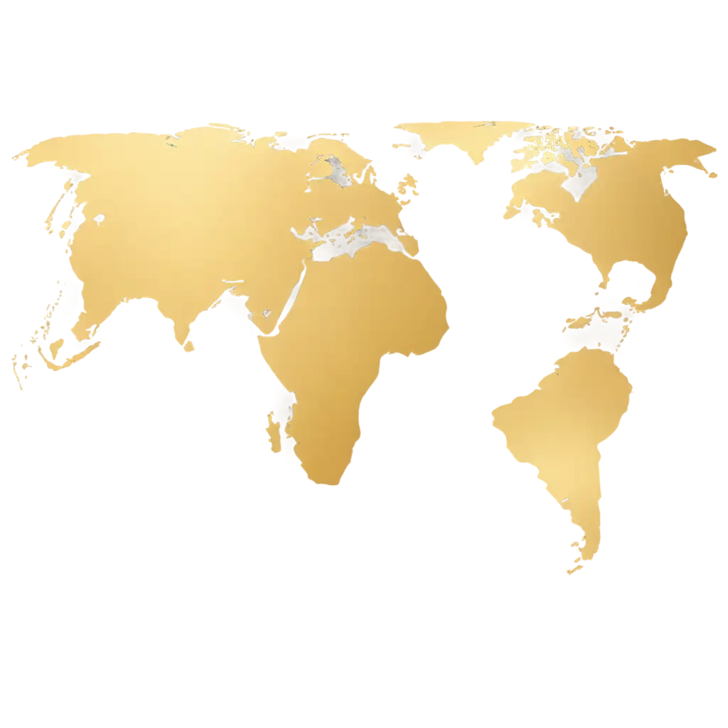
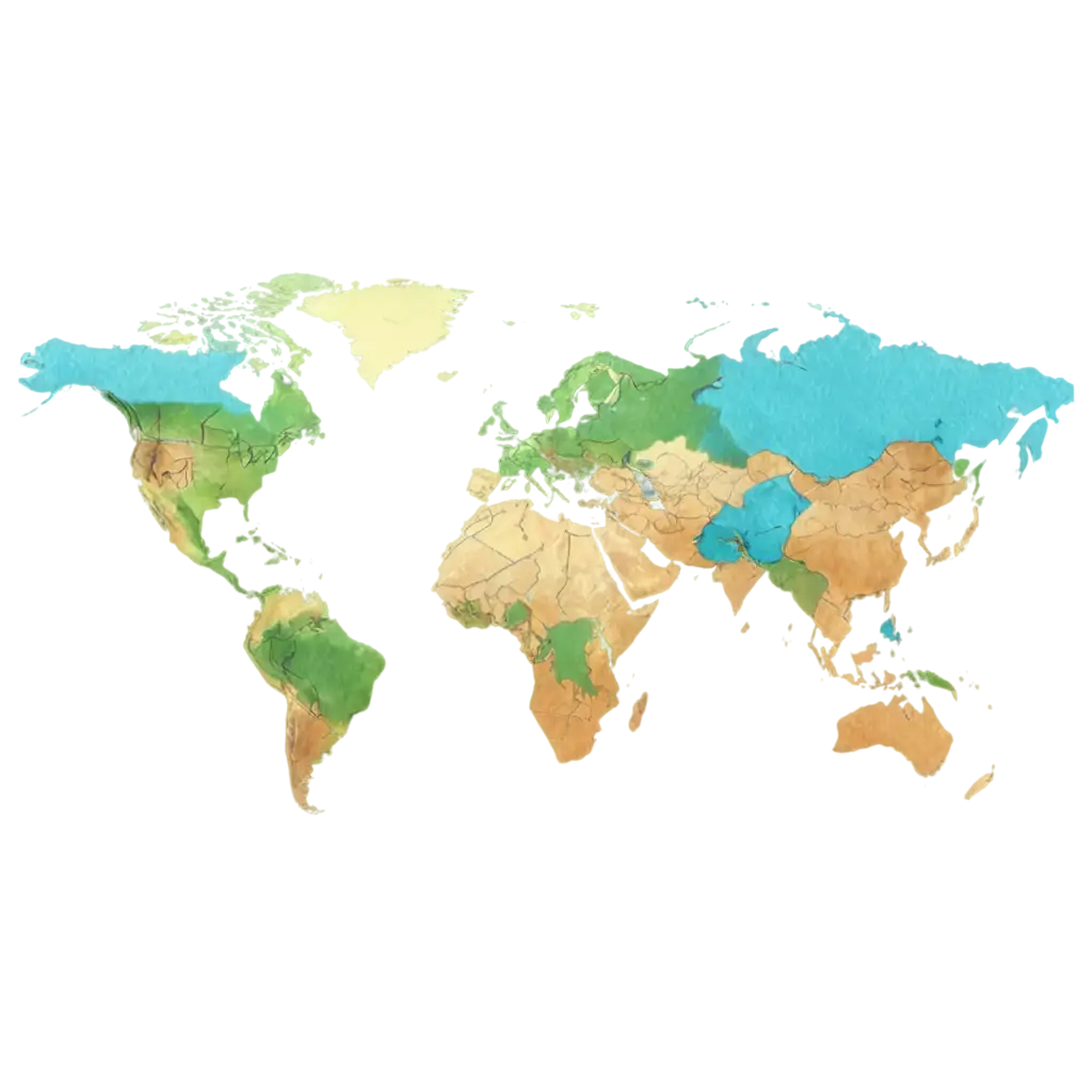
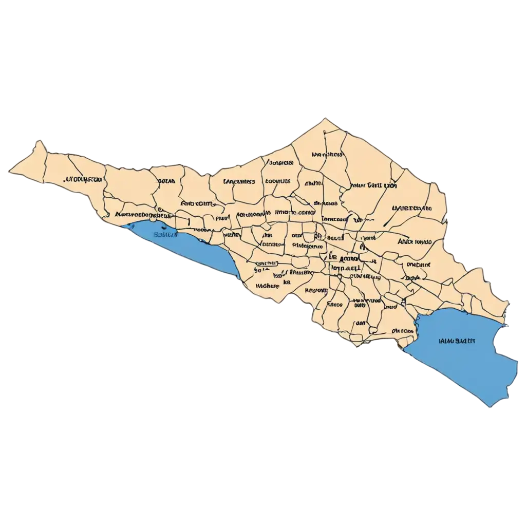
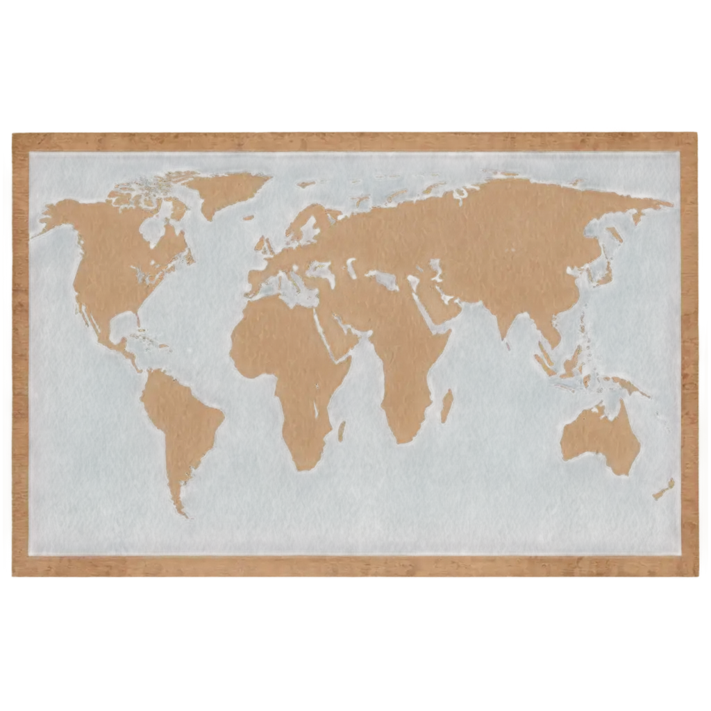
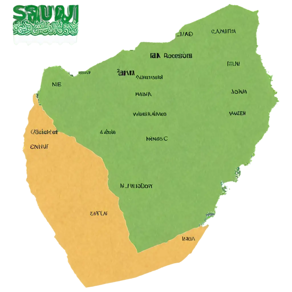
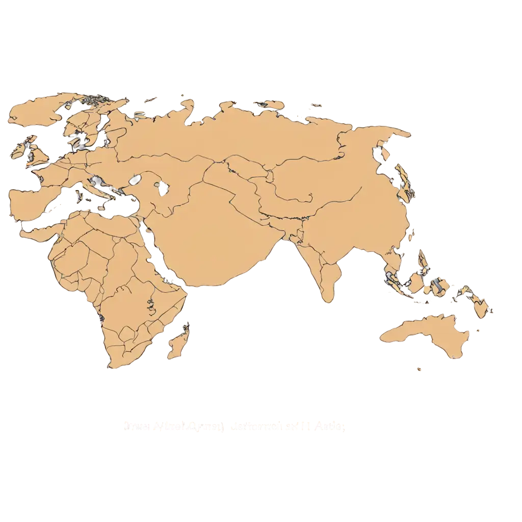
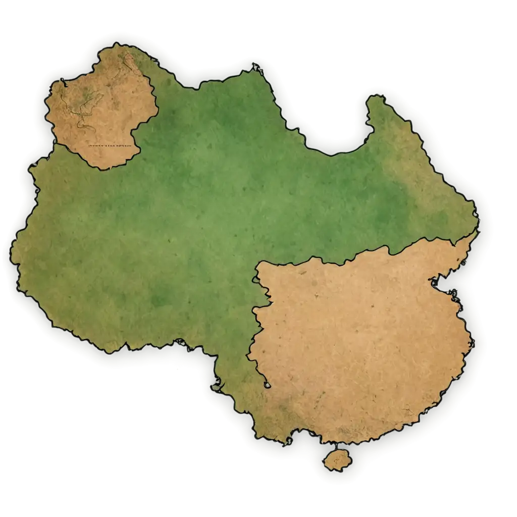
Explore our extensive Geographic Map collection featuring 16 free AI-generated images. This curated selection includes detailed topographical representations, stylized cartographic designs, vector-based maps, and 3D terrain visualizations. All images are available in high resolution for free download, and you can utilize our innovative 'open in editor' feature to customize the prompts and regenerate maps tailored to your specific needs.



Related Tags
Geographic maps have undergone a remarkable transformation with the advent of AI technology. Traditional cartography, once limited by manual drafting and physical surveying, has evolved into a dynamic field where artificial intelligence can generate intricate map visualizations in seconds. Modern AI-powered mapping combines satellite data, topographical information, and design principles to create accurate yet aesthetically pleasing representations. This technological advancement has democratized map creation, allowing users to generate custom maps for various purposes, from educational materials to business presentations, while maintaining geographical accuracy and visual appeal.
Evolution of Geographic Maps in the AI Era
AI-generated geographic maps come in various styles, each serving unique purposes. Topographical maps showcase terrain elevation and natural features with precise contour lines and shading. Political maps emphasize boundaries and administrative divisions with clear demarcation and color coding. Thematic maps display specific data distributions, such as population density or climate patterns, through heat maps and graduated symbols. Vector-based maps offer scalable designs perfect for infographics and presentations, while 3D terrain visualizations provide immersive perspectives of landscapes. These diverse styles find applications in urban planning, environmental studies, educational resources, and creative projects.
Diverse Styles and Applications of AI-Generated Maps
The process of creating AI-generated geographic maps involves several key elements and techniques. Users can specify parameters such as map style (vintage, modern, minimalist), color schemes, level of detail, and geographical features to highlight. The AI considers factors like projection type, scale, and symbol representation to ensure accuracy while maintaining artistic appeal. Advanced features allow for the integration of custom data overlays, annotation layers, and specialized symbols. Understanding these creation tools helps users generate maps that perfectly balance information density with visual clarity, whether for technical documentation or artistic expression.
Creating Customized Geographic Maps with AI Tools
The future of AI-generated geographic maps promises exciting developments in both functionality and aesthetics. Emerging trends include real-time map generation based on live data feeds, interactive 3D visualizations with augmented reality integration, and adaptive maps that automatically adjust their style and content based on viewer preferences and context. Machine learning algorithms are becoming increasingly sophisticated at interpreting complex geographical data and representing it in intuitive ways. These advancements will enable more personalized mapping experiences, improved accuracy in terrain representation, and novel approaches to visualizing geographical information for both professional and creative applications.
Future Trends in AI-Generated Cartography