15 Free Earth Science transparent PNG images
Explore our comprehensive Earth Science image collection, featuring 15 free AI-generated images that capture the beauty and complexity of our planet. Browse through detailed stock photos, 3D geological models, vector diagrams, and scientific illustrations depicting various Earth processes and phenomena. Each high-resolution image is available for immediate download, and you can use our innovative 'open in editor' feature to fine-tune the prompts and regenerate images that perfectly match your scientific or educational needs.
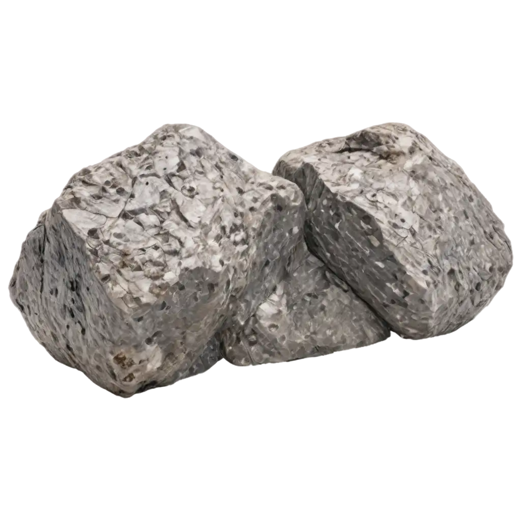
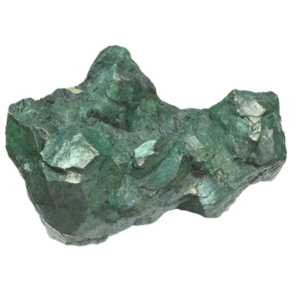
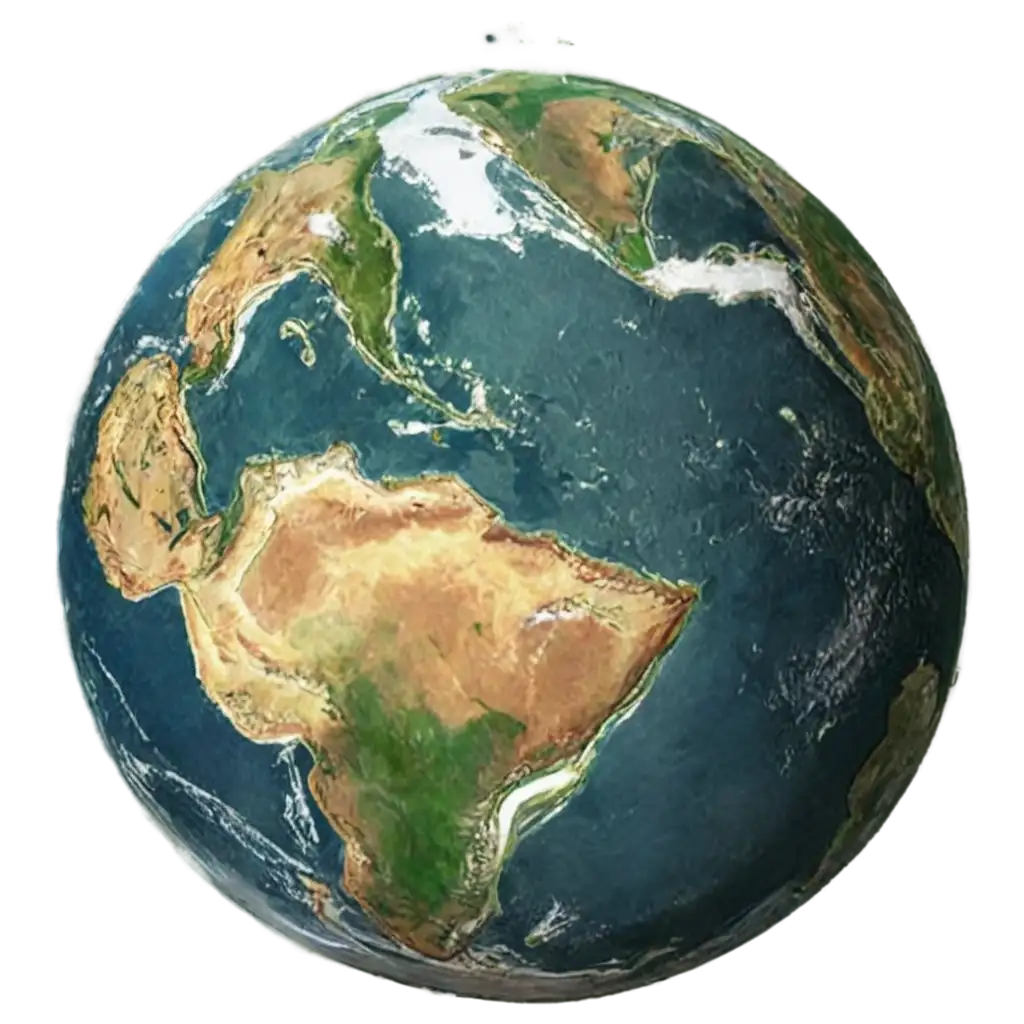
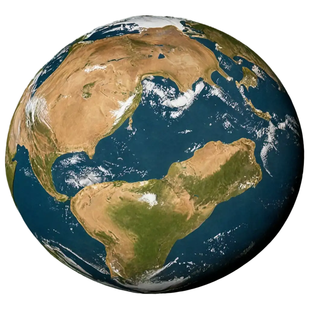





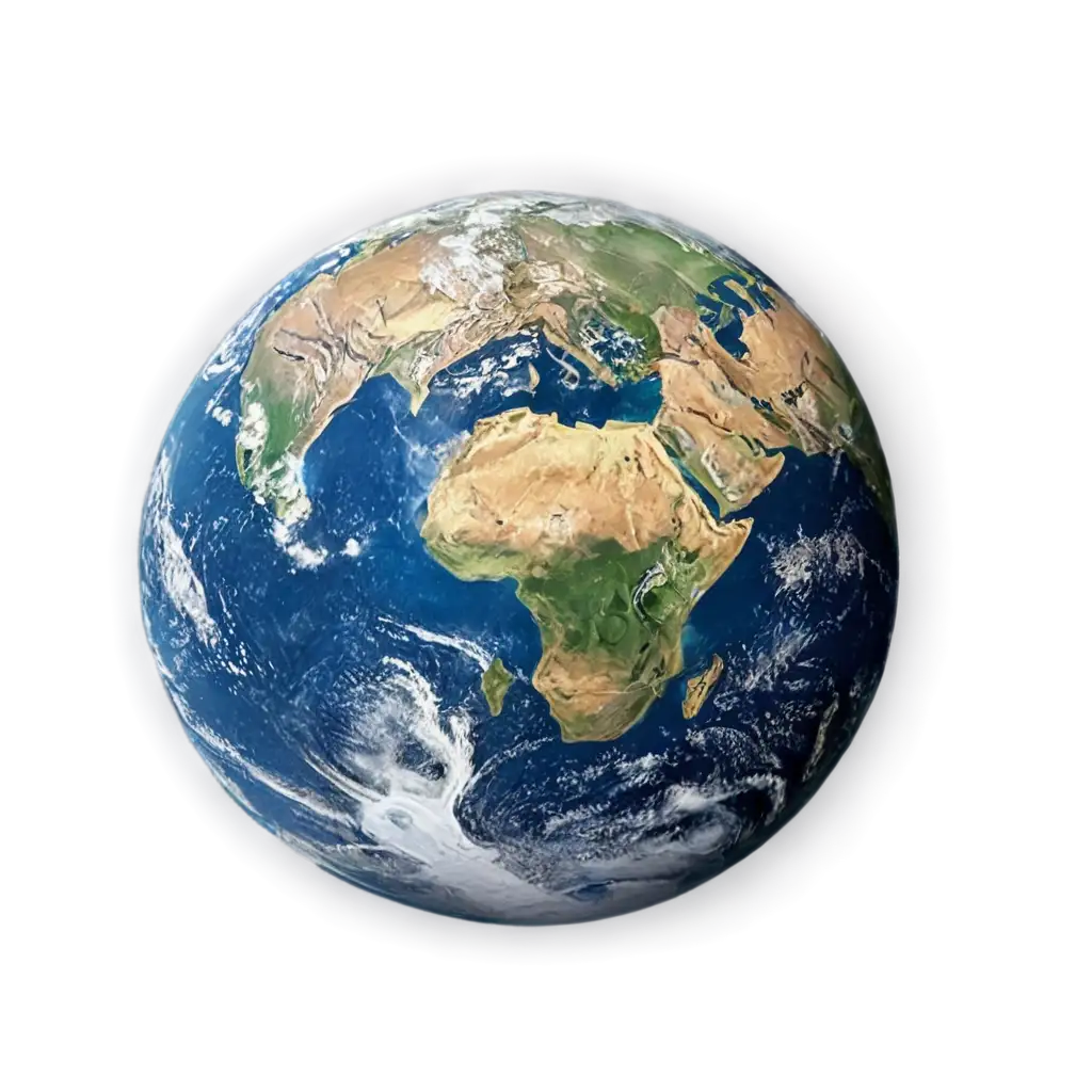
Earth Science visualization encompasses the intricate processes and structures that shape our planet. Modern AI-generated images excel at depicting complex geological phenomena like plate tectonics, volcanic activity, and atmospheric circulation patterns. These visualizations help bridge the gap between abstract scientific concepts and tangible understanding, making them invaluable for educational purposes, scientific communication, and research presentations. The ability to represent cross-sections of Earth's interior, weather systems, and geological formations with precise detail has revolutionized how we study and communicate Earth Science concepts.
Earth Science Visualization: From Core to Atmosphere
Earth Science imagery serves crucial roles across various fields, from academic research to public education. In classroom settings, these images help students grasp complex concepts like continental drift, rock cycle, and climate patterns. Researchers use detailed visualizations to analyze geological structures, predict weather patterns, and study environmental changes. The advent of AI-generated images has made it possible to create accurate representations of hard-to-photograph phenomena, such as Earth's internal structure or complex weather systems. These images also find applications in environmental impact assessments, natural disaster preparedness, and resource exploration.
Applications of Earth Science Imagery in Research and Education
The creation of accurate Earth Science visualizations requires a careful balance between scientific accuracy and visual clarity. When generating Earth Science images with AI, key considerations include proper scale representation, accurate color schemes for geological features, and correct depiction of natural processes. For instance, geological cross-sections must maintain proper layer sequences, while atmospheric visualizations need to accurately represent various weather phenomena. The AI tools excel at incorporating real scientific data to create visually striking yet scientifically accurate representations, whether it's depicting mineral structures, ocean currents, or atmospheric layers. Best practices include referencing current scientific models, using standardized geological symbols, and maintaining consistent scale indicators.
Creating Accurate Earth Science Visualizations with AI
The future of Earth Science visualization is rapidly evolving with advancing AI technology. Emerging trends include interactive 3D models of geological processes, real-time weather pattern visualizations, and dynamic representations of climate change impacts. AI-generated images are becoming increasingly sophisticated in depicting complex Earth systems interactions, from microscopic mineral formations to global-scale phenomena. The integration of satellite data, ground-based observations, and predictive models is enabling more accurate and detailed visualizations. Future developments are likely to include augmented reality applications, improved temporal representations of geological processes, and more detailed subsurface imaging capabilities, making Earth Science more accessible and understandable to both scientists and the public.
Future Trends in Earth Science Visualization