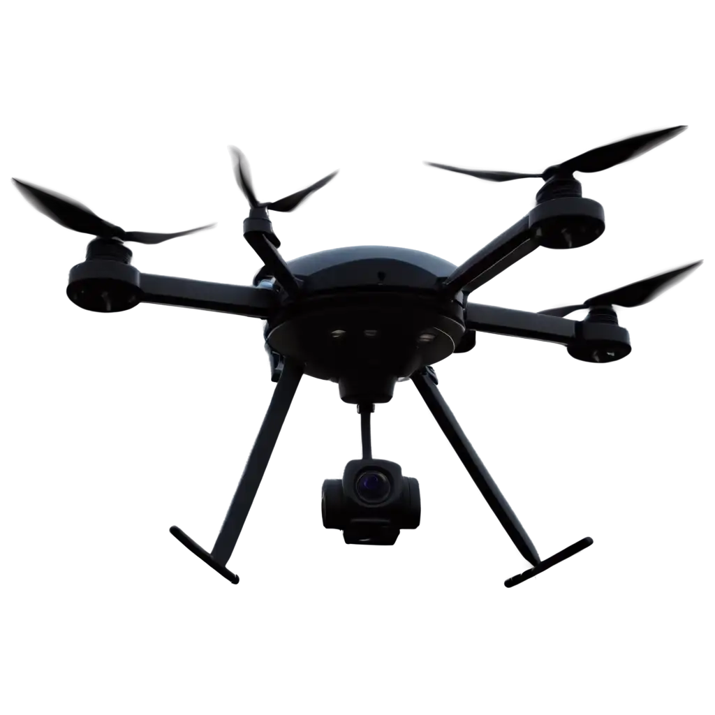
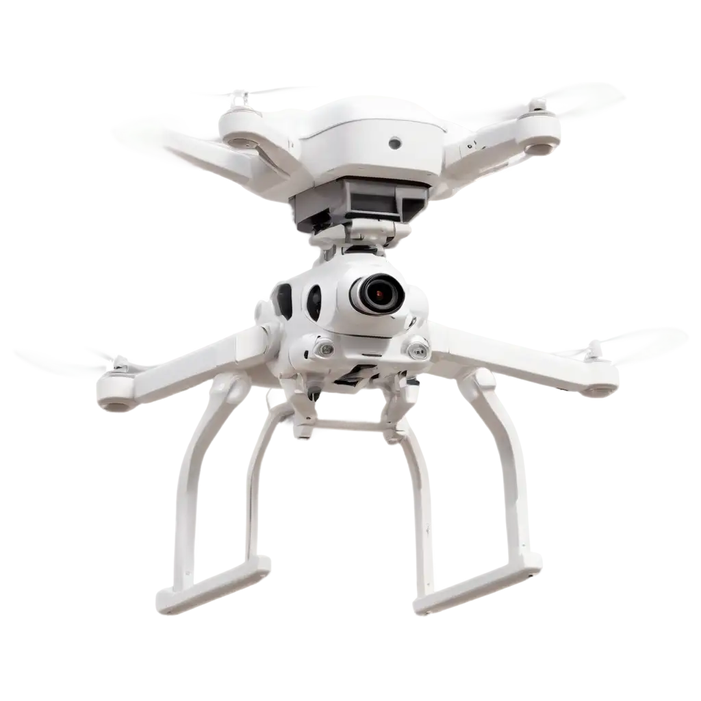
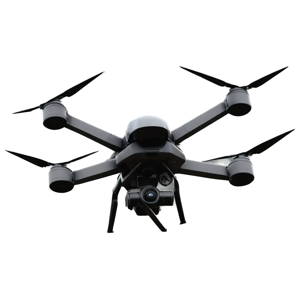
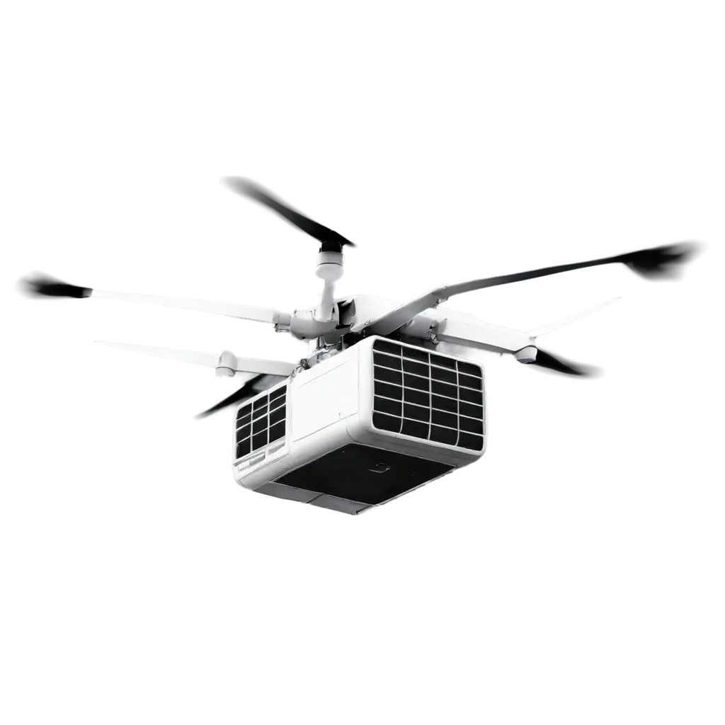
4 Free Aerial Technology transparent PNG images
Explore our comprehensive collection of 4 free AI-generated images showcasing Aerial Technology. This curated gallery features stunning aerial perspectives through various formats including stock photos, 3D objects, vectors, and illustrations. Each high-resolution image is available for free download, and our innovative 'open in editor' feature allows you to modify the AI prompts to regenerate images that perfectly match your vision.


Related Tags
Aerial imaging has undergone a remarkable transformation since its inception in the early 20th century. Originally limited to aircraft-mounted cameras, the field expanded with satellite technology in the 1960s and consumer drones in the 2010s. Today, AI-generated aerial imagery represents the cutting edge, allowing for the creation of perspectives that would be impossible or extremely costly to capture traditionally. This technology enables the generation of aerial views of both existing locations and entirely imagined landscapes, combining technical accuracy with creative freedom.
The Evolution of Aerial Imaging: From Traditional Photography to AI Generation
AI-generated aerial imagery serves diverse sectors including urban planning, real estate marketing, environmental monitoring, and entertainment media. In urban development, these images help visualize proposed architectural projects from multiple angles and elevations. The real estate industry utilizes them for creating compelling property visualizations before construction completion. Entertainment and gaming industries benefit from these resources for creating immersive environments, while educational institutions use them for geographical and environmental studies. The high adaptability of AI-generated aerial images allows for seasonal variations, different weather conditions, and various lighting scenarios to be depicted on demand.
Applications of AI-Generated Aerial Technology Images
Creating compelling AI-generated aerial imagery requires understanding key technical elements such as perspective, scale, and atmospheric effects. Successful prompts typically incorporate specific terminology related to altitude (bird's eye view, drone perspective, satellite view), atmospheric conditions (clear day, cloudy, sunset), and technical specifications (wide-angle, telephoto, infrared). The process often involves combining multiple prompt elements to achieve the desired result, such as specifying the exact height, angle, lighting conditions, and environmental features. Advanced techniques include incorporating real-world geographical data and architectural principles to ensure realistic proportions and layouts.
Technical Aspects and Creation Methods of AI Aerial Imagery
The future of AI-generated aerial imagery points toward increased photorealism, enhanced accuracy in geographical representation, and better integration with real-world data. Emerging trends include the development of hybrid systems that combine actual satellite or drone data with AI-generated elements, creating ultra-realistic composite images. We're also seeing advancements in temporal prediction, where AI can generate future or historical aerial views based on current data. The technology is evolving to include dynamic elements such as weather patterns, seasonal changes, and urban development scenarios, making it an increasingly valuable tool for urban planning, climate change visualization, and environmental impact assessment.
Future Trends in AI-Generated Aerial Technology